- My Forums
- Tiger Rant
- LSU Recruiting
- SEC Rant
- Saints Talk
- Pelicans Talk
- More Sports Board
- Fantasy Sports
- Golf Board
- Soccer Board
- O-T Lounge
- Tech Board
- Home/Garden Board
- Outdoor Board
- Health/Fitness Board
- Movie/TV Board
- Book Board
- Music Board
- Political Talk
- Money Talk
- Fark Board
- Gaming Board
- Travel Board
- Food/Drink Board
- Ticket Exchange
- TD Help Board
Customize My Forums- View All Forums
- Show Left Links
- Topic Sort Options
- Trending Topics
- Recent Topics
- Active Topics
Started By
Message
re: Beryl Thread - the clean up begins...
Posted on 7/7/24 at 2:48 pm to deltaland

Posted on 7/7/24 at 2:48 pm to deltaland
quote:bullshite,
El Campo means the camp in English
You never met Tony Campo (The Appliance Giant)
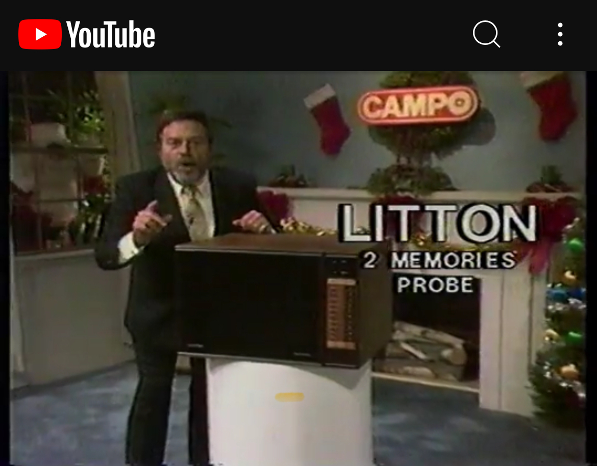
YouTube Link (1984 Christmas Commercial)
 1
1


Posted on 7/7/24 at 2:51 pm to The Boat

When tBoat’s wife says she’s staying
Posted on 7/7/24 at 2:52 pm to LaBR4
At this point yes. She was supposed to be back at 1 and then they could have made the 4 hr trip.
Oh well. We loaned them a generator and what not should they go back and need it.
Oh well. We loaned them a generator and what not should they go back and need it.
This post was edited on 7/7/24 at 2:53 pm
Posted on 7/7/24 at 2:55 pm to GREENHEAD22
quote:
I am Fry and Highland Knolls area. If I start to lose my freezers I have enough meat to bbq for all TDers in a 10milr radius so yall come on.
I’m 5 min away on Kingsland. See ya soon!
Posted on 7/7/24 at 2:55 pm to East Coast Band
quote:
Where is the opt in for tracking for my radar?
You'd probably have to deny the permission to use your GPS location. The sale of that sort of data is all tied together in that one permission.
ETA: I used to like MyRadar, but they kept adding stuff, some of which wasn't really ready, and it just got bloated. I use RadarScope or Radar Omega and the Wx app for most everything now.
This post was edited on 7/7/24 at 2:59 pm

Posted on 7/7/24 at 2:57 pm to GREENHEAD22
Lightning struck my building (I’m guessing the parking garage) at 99 but the power only flickered. I can help eat some of your thawing beef if it comes to it. There was a lot of lightning on the backside of that after the rain stopped.
One of my idiot neighbors just put his patio umbrella back out, on the top floor of the building. Why do people do dumb shite?
One of my idiot neighbors just put his patio umbrella back out, on the top floor of the building. Why do people do dumb shite?
Posted on 7/7/24 at 2:57 pm to rds dc
What to expect riding it out in Galveston?

Posted on 7/7/24 at 2:58 pm to soccerfüt
Cool thing about being within radar range is you can get a clearer picture of the structure compared to satellite.
Beryl still fighting dry air. You can see the darker color being pulled around the storm on satellite and ingesting it on radar, choking off convection on the southern side. There isn't as much dry air as yesterday and thunderstorms are trying to wrap around the center. You can see fuller looking clouds build around the center on visible satellite (image 3). High res models had Beryl starting to strengthen around sunset so we'll see what happens then.


Beryl still fighting dry air. You can see the darker color being pulled around the storm on satellite and ingesting it on radar, choking off convection on the southern side. There isn't as much dry air as yesterday and thunderstorms are trying to wrap around the center. You can see fuller looking clouds build around the center on visible satellite (image 3). High res models had Beryl starting to strengthen around sunset so we'll see what happens then.

Posted on 7/7/24 at 3:15 pm to The Boat
I’m just enjoying it not being 1000 degrees out right now in Lafayette.

Posted on 7/7/24 at 3:20 pm to supadave3
quote:
I am Fry and Highland Knolls area. If I start to lose my freezers
Highland Knolls and Peek checking in.
Posted on 7/7/24 at 3:25 pm to Thecoz
Beryl still struggling on IR loop to wrap convection around
Posted on 7/7/24 at 3:27 pm to MrWhipple
Woodcreek Reserve subdivision here. Between 1463 and Pin Oak.
This post was edited on 7/7/24 at 3:28 pm

Posted on 7/7/24 at 3:30 pm to deltaland
Rainfall totals nudged down a bit again. Partially because I assume the heavy band that came through earlier had been factored in to previous qpf forecasts.


Posted on 7/7/24 at 3:41 pm to GREENHEAD22
A lot of TD posters in this area, hah. I’m off Mason south of highland knolls.

Posted on 7/7/24 at 3:47 pm to Bunta
We used to be in Northlake Village of Cinco right there, but moved up to some acreage west of Tomball.

Posted on 7/7/24 at 3:48 pm to deltaland
quote:
Beryl still struggling on IR loop to wrap convection around
Yeah. It looks like on WV that it may just now be pinching the dry air out of the core.
The source of the dry air is pulling south and the NW and W side of the CDO is moistening up some.
Posted on 7/7/24 at 3:51 pm to ithad2bme
Just got part rain from the outer tip of the storm here in Tyler
Hopefully no major winds later, we’ve been getting pounded all spring
Hopefully no major winds later, we’ve been getting pounded all spring
Posted on 7/7/24 at 3:53 pm to The Boat
Still forecasted by NHC at 75 knots by 1 am.
321
WTNT22 KNHC 072048
TCMAT2
TROPICAL STORM BERYL FORECAST/ADVISORY NUMBER 37
NWS NATIONAL HURRICANE CENTER MIAMI FL AL022024
2100 UTC SUN JUL 07 2024
TROPICAL STORM CENTER LOCATED NEAR 26.8N 95.5W AT 07/2100Z
POSITION ACCURATE WITHIN 20 NM
PRESENT MOVEMENT TOWARD THE NORTH-NORTHWEST OR 335 DEGREES AT 10 KT
ESTIMATED MINIMUM CENTRAL PRESSURE 988 MB
MAX SUSTAINED WINDS 55 KT WITH GUSTS TO 65 KT.
50 KT....... 50NE 40SE 30SW 30NW.
34 KT.......100NE 80SE 60SW 80NW.
12 FT SEAS..120NE 60SE 75SW 90NW.
WINDS AND SEAS VARY GREATLY IN EACH QUADRANT. RADII IN NAUTICAL
MILES ARE THE LARGEST RADII EXPECTED ANYWHERE IN THAT QUADRANT.
REPEAT...CENTER LOCATED NEAR 26.8N 95.5W AT 07/2100Z
AT 07/1800Z CENTER WAS LOCATED NEAR 26.3N 95.3W
FORECAST VALID 08/0600Z 28.3N 95.9W
MAX WIND 75 KT...GUSTS 90 KT.
64 KT... 30NE 30SE 0SW 0NW.
50 KT... 50NE 40SE 30SW 40NW.
34 KT...100NE 90SE 60SW 60NW.
FORECAST VALID 08/1800Z 30.4N 95.9W...INLAND
MAX WIND 50 KT...GUSTS 60 KT.
50 KT... 20NE 20SE 0SW 0NW.
34 KT... 60NE 80SE 30SW 30NW.
FORECAST VALID 09/0600Z 32.6N 94.8W...INLAND
MAX WIND 30 KT...GUSTS 40 KT.
FORECAST VALID 09/1800Z 34.9N 92.6W...POST-TROP/INLAND
MAX WIND 25 KT...GUSTS 35 KT.
FORECAST VALID 10/0600Z 37.2N 89.7W...POST-TROP/INLAND
MAX WIND 20 KT...GUSTS 30 KT.
FORECAST VALID 10/1800Z 39.7N 86.2W...POST-TROP/INLAND
MAX WIND 20 KT...GUSTS 30 KT.
EXTENDED OUTLOOK. NOTE...ERRORS FOR TRACK HAVE AVERAGED NEAR 125 NM
ON DAY 4 AND 175 NM ON DAY 5...AND FOR INTENSITY NEAR 15 KT EACH DAY
OUTLOOK VALID 11/1800Z 43.5N 80.0W...POST-TROP/INLAND
MAX WIND 25 KT...GUSTS 35 KT.
OUTLOOK VALID 12/1800Z...DISSIPATED
REQUEST FOR 3 HOURLY SHIP REPORTS WITHIN 300 MILES OF 26.8N 95.5W
INTERMEDIATE PUBLIC ADVISORY...WTNT32 KNHC/MIATCPAT2...AT 08/0000Z
NEXT ADVISORY AT 08/0300Z
$$
FORECASTER BLAKE
This post was edited on 7/7/24 at 3:56 pm
Posted on 7/7/24 at 3:55 pm to NorthEndZone
Moving at 335 degrees now

Posted on 7/7/24 at 3:55 pm to NorthEndZone
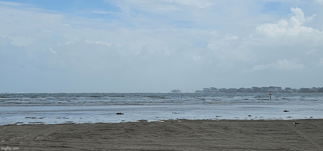
Live from San luis pass

 Page 129 of 218

Popular
Back to top