




- My Forums
- Tiger Rant
- LSU Recruiting
- SEC Rant
- Saints Talk
- Pelicans Talk
- More Sports Board
- Fantasy Sports
- Golf Board
- Soccer Board
- O-T Lounge
- Tech Board
- Home/Garden Board
- Outdoor Board
- Health/Fitness Board
- Movie/TV Board
- Book Board
- Music Board
- Political Talk
- Money Talk
- Fark Board
- Gaming Board
- Travel Board
- Food/Drink Board
- Ticket Exchange
- TD Help Board
Customize My Forums- View All Forums
- Show Left Links
- Topic Sort Options
- Trending Topics
- Recent Topics
- Active Topics
Started By
Message
re: Weather Board: Enhanced (3 out of 5) Risk for Yankees This PM. Tornado Watch For Masters
Posted on 4/13/19 at 8:05 pm to Tester1216

Posted on 4/13/19 at 8:05 pm to Tester1216
Considering the level of hype this was a major bust
I’m glad it wasn’t bad, but the consistent over hyping is dangerous because people will start ignoring the threats
I’m glad it wasn’t bad, but the consistent over hyping is dangerous because people will start ignoring the threats
 7
7


Posted on 4/13/19 at 8:08 pm to deltaland
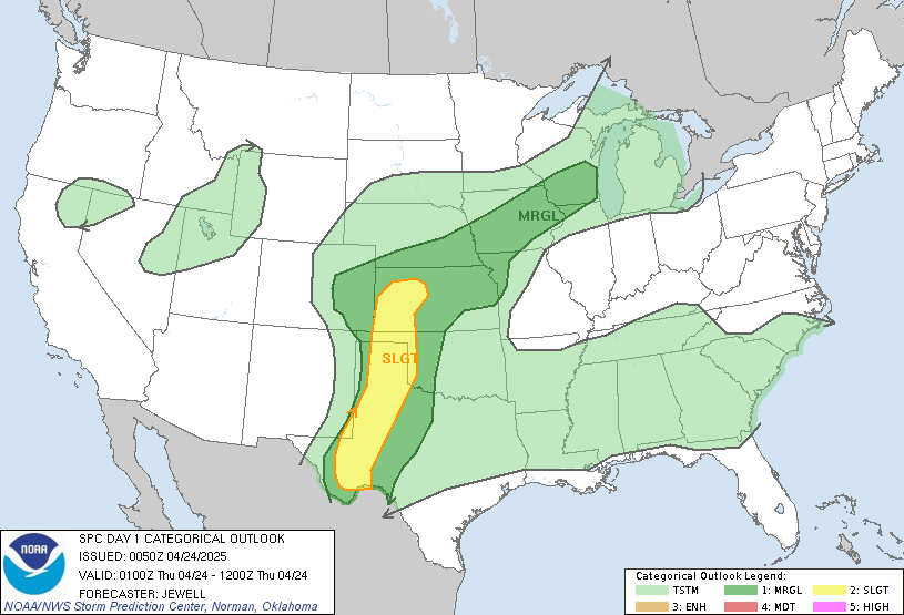
...01Z Update...
...Discussion...
Recent surface analysis places a convectively augmented cold front
extending from far southeast AR/northeast LA southwestward to far
southwest LA (near UXL). The fast eastward progression of the cold
front has lead to undercutting and resultant weakening of the
convective line ongoing across eastern LA. General expectation is
for this cold front to continue eastward, eventually interacting
with the lead convective line currently extending from central MS
southward through south-central MS. Interaction between these two
features will likely dictate the severe coverage overnight, with a
constructive interaction leading to an increase in severe
thunderstorms.
An additional factor favoring an increase in overall storm intensity
is the placement of the low-level jet. Recent DGX VAD sampled 60 kt
at 1 km and 80 kt at 3 km. This matches well with anticipated
strengthening of the low-level jet across eastern MS and western AL.
A favored corridor for this strengthening is along the warm front,
which currently extends from a surface low just northwest of HEZ
northeastward to just north of BHM.
The storm mode will likely remain linear, limiting the potential for
long-track tornadoes. However, strong low-level shear will still
result in the possibility of a few embedded, short-duration
tornadoes in addition to damaging wind gusts.
Posted on 4/13/19 at 8:09 pm to lsuman25

Posted on 4/13/19 at 8:10 pm to deltaland
Agreed about the over hyping. It seems like when these events are hyped like this, at least for Louisiana, they bust. The events that drop tornadoes and truly have bad results seem to come with limited hype or are not from the forecasted major outbreaks.
Posted on 4/13/19 at 8:12 pm to deltaland
It ain't over for us baw. Local weather and nws warning says confirmed, hazardous tornado on the ground. We're at turkey camp and are about 15 minutes out from a direct hit, or a miss by a tit hair, assuming it holds together.
Scan before last had it strengthening and heading dead at us, next scan had it weakening and going damn near due north, and latest scan has it back on track with us and getting more debris sig.
Local weather guy said he's never seen a storm wiggle around like this due to the winds fighting each other.
Scan before last had it strengthening and heading dead at us, next scan had it weakening and going damn near due north, and latest scan has it back on track with us and getting more debris sig.
Local weather guy said he's never seen a storm wiggle around like this due to the winds fighting each other.
Posted on 4/13/19 at 8:16 pm to Bigbee Hills
(no message)
This post was edited on 4/20/19 at 7:36 am

Posted on 4/13/19 at 8:21 pm to Bigbee Hills
Definitely looks like a tornado right north of Tylertown, headed between Columbia and Monticello @ 42mph
This post was edited on 4/13/19 at 8:23 pm
Posted on 4/13/19 at 8:24 pm to Lando789
Just turned and will probably track north of us. Another 5 minutes and we can pour the grain drank, fire up the griddle and live to chase longbeards for another day! 
Posted on 4/13/19 at 8:27 pm to rds dc

Mesoscale Discussion 0329
NWS Storm Prediction Center Norman OK
0825 PM CDT Sat Apr 13 2019
Areas affected...Southeast Mississippi and far southwest Alabama
Concerning...Severe potential...Watch possible
Valid 140125Z - 140300Z
Probability of Watch Issuance...60 percent
SUMMARY...Line embedded supercells currently in south central
Mississippi are expected to move east with a threat of damaging
winds and tornadoes.
DISCUSSION...In the last hour, storms on the southern periphery of
the confluence band in central Mississippi have started to
strengthen. The strongest of these storms is currently entering
Walthall county. The 00Z LIX sounding shows moderate instability
with effective shear around 60 knots and 0-1 km SRH in excess of 450
m2/s2. This environment will support all severe hazards including
the potential for tornadoes. Widespread convective development in
this confluence band will likely lead to storm interference similar
to the storms farther north, but there is the potential that storms
could remain more discrete in this area which would support the
tornado threat despite a slightly weaker wind field compared to
areas farther north.
If several sustained storms can materialize across southern
Mississippi, an additional tornado watch may need to be issued in
far southeast Mississippi and far southwest Alabama.
..Bentley/Guyer.. 04/14/2019

Posted on 4/13/19 at 8:30 pm to rds dc
Hattiesburg is like ground zero.


Posted on 4/13/19 at 8:31 pm to Bigbee Hills
We can’t be far from you, we are in hwy 583 just south of 44 (13 miles north of Tylertown) the bullseye was on top of us a few minutes ago, pretty sporty and looks like I have some limbs to clean up tomorrow but people and animals are safe
Posted on 4/13/19 at 8:34 pm to Tigerpaw123
a school is on fire in Monroe... fire attributed to lightning from today's storms
it's a large fire too
it's a large fire too
Posted on 4/13/19 at 8:39 pm to rt3
1.jpg)
Posted on 4/13/19 at 8:39 pm to rt3
KNOE - Boley Elementary School on fire
quote:
A fire is consuming Boley Elementary School in West Monroe.
The fire started around 5 pm this evening. The school is now in flames. West Monroe PD says they believe the fire might have started in the attic.
First responders are on the scene. KNOE viewer, Cheyenne Alaniz, sent in photos that show the school in flames.
Police say no one was in the school at the time and no one was hurt. They don't have a cause yet, so it's unclear at this time if it is related to the storms.
TWC and storm chasers in Monroe are making it sound like it for sure was started by a lightning strike even though KNOE doesn't make that assumption
Posted on 4/13/19 at 8:41 pm to rt3
TWC has storm damage in Flora, Miss.

Posted on 4/13/19 at 8:41 pm to deltaland
Delta, you say that flippantly but the reality is you should be damn happy it wasn't worse. The Alto, Tx tornado ripped that rural town apart. The images are crazy. 2 dead, 20 injured, houses gone, school torn up and hundreds if not thousands of pines snapped and all,over the highways and FM roads. That is the same warning that was tracking to Toledo Bend and Zowalle, LA but didn't, thankfully. Broke up maybe, what, a few minutes before as it was moving at 50 mph.
Sorry it didn't hit Louisiana so the thread would have been "justified".

Posted on 4/13/19 at 8:46 pm to Sao
What kind of impact is this storm going to have on river?

Posted on 4/13/19 at 8:49 pm to rt3
quote:
a school is on fire in Monroe
Oh shite.
Has Livingston Parish announced they're cancelling school Monday yet?

Posted on 4/13/19 at 8:51 pm to Sao
quote:
Delta, you say that flippantly but the reality is you should be damn happy it wasn't worse. The Alto, Tx tornado ripped that rural town apart. The images are crazy. 2 dead, 20 injured, houses gone, school torn up and hundreds if not thousands of pines snapped and all,over the highways and FM roads. That is the same warning that was tracking to Toledo Bend and Zowalle, LA but didn't, thankfully. Broke up maybe, what, a few minutes before as it was moving at 50 mph. Sorry it didn't hit Louisiana so the thread would have been "justified".
This. Thanks to all of you that track these storms. These threads and the weather channel is my go-to during outbreaks.
Posted on 4/13/19 at 8:53 pm to TigerstuckinMS
tennis ball sized hail reported in Tennessee

 Page 39 of 47

Popular
Back to top
 Follow TigerDroppings for LSU Football News