- My Forums
- Tiger Rant
- LSU Recruiting
- SEC Rant
- Saints Talk
- Pelicans Talk
- More Sports Board
- Fantasy Sports
- Golf Board
- Soccer Board
- O-T Lounge
- Tech Board
- Home/Garden Board
- Outdoor Board
- Health/Fitness Board
- Movie/TV Board
- Book Board
- Music Board
- Political Talk
- Money Talk
- Fark Board
- Gaming Board
- Travel Board
- Food/Drink Board
- Ticket Exchange
- TD Help Board
Customize My Forums- View All Forums
- Show Left Links
- Topic Sort Options
- Trending Topics
- Recent Topics
- Active Topics
Started By
Message
re: New Category 6 Hurricane Classification Proposed Due to Climate Change
Posted on 2/6/24 at 10:09 am to cyarrr

Posted on 2/6/24 at 10:09 am to cyarrr
Question:
From a damage standpoint... is there a difference between 157 mph winds and say... 200 mph winds or even 250 mph winds? Seems like it'd be no different than running your car into a brick wall at either 150 or 200 mph... damage is essentially the same.
Why There's No Such Thing As A Category 6 Hurricane
quote:
Hurricane strength is rated using the Saffir–Simpson scale, first developed in 1971 by Herbert Saffir and Robert Simpson, a civil engineer and meteorologist respectively. While flooding can account for much of the lasting damage a hurricane can cause, the Saffir-Simpson scale is concerned solely with windspeed, using the max speed of sustained winds to organize hurricanes into the five established categories:
Category 1: Very dangerous winds will produce some damage.
74-95 mph winds.
Category 2: Extremely dangerous winds will cause extensive damage. 96-110 mph winds.
Category 3: Devastating damage will occur. 111-129 mph winds.
Category 4: Catastrophic damage will occur. 130-156 mph winds.
Category 5: Catastrophic damage will occur on a large scale. 157 mph or higher winds.
The potential for a Category 6 storms seems obvious. ... It's a moot point however, because the Saffir-Simpson scale is not designed to arbitrarily classify storms into tiers based on wind speed or some sort of abstract power level. The Saffir-Simpson scale is designed to reflect the damage a given storm will cause to buildings and other man-made structures in its path. Category 5 is widespread, catastrophic damage. There's not really anything worse than that.
 1
1


Posted on 2/6/24 at 10:09 am to Aubie Spr96
There’s really no purpose in adding an extra category other than to just make storms sound even more scary. It’s not like the category on a man-made scale is what gives the storm its strength.
I mean, the percentage of tropical systems that reach Category 5 strength on the Saffir-Simpson scale is already quite small.
I mean, the percentage of tropical systems that reach Category 5 strength on the Saffir-Simpson scale is already quite small.
This post was edited on 2/6/24 at 10:12 am

Posted on 2/6/24 at 10:13 am to BPTiger
quote:
BREAKING NEWS: In a day we could have avoided but will never forget we regret to bring news that, today, we will witness the world’s first ever CATEGORY 6 HURRICANE!!!
Category CO2 incoming!

Posted on 2/6/24 at 10:21 am to MemphisGuy
quote:depends on structures and what theyre made to withstand. something could be built to withstand 157 but not 200. Generally speaking the damage is devastating either way,yes, but youd definitely expect more of it from a 200+ storm.
is there a difference between 157 mph winds and say... 200 mph winds or even 250 mph winds?

Posted on 2/6/24 at 10:35 am to Aubie Spr96
This is annoying and not helping with insurance rates in LA.
Bunch of camps get demolished in Laura and Ida and now everyone south of I-10 is paying for it.
Bunch of camps get demolished in Laura and Ida and now everyone south of I-10 is paying for it.
Posted on 2/6/24 at 10:58 am to wileyjones
quote:
Why stop at 6?
If they’re going to frick with us like this, then I’m going to start using my own categories.
“How big is this hurricane?”
“John Holmes “.
Posted on 2/6/24 at 11:02 am to dgnx6
quote:
I see they just want to add on not adjust the lowers.
I dunno about that......we had a 72mph Cat. 3 hit the big bend area of Florida just last year.
Posted on 2/6/24 at 11:19 am to LegendInMyMind
So is that also gonna involve a switch to ipv6?
I’m all for 10 gig canes.
I’m all for 10 gig canes.
This post was edited on 2/6/24 at 11:21 am

Posted on 2/6/24 at 11:32 am to cyarrr
quote:
It’s my understanding that wind gauges used to measure speeds from storms 40+ years ago were often destroyed from the winds they were recording.
So much has changed since then and this is my reasoning as to why much of the "never seen before" rhetoric is not accurate. When we have the most storms in a season, is it because we had the most or because we just didn't have the satellite technology to identify 3 to 5 storms that started and spun out quickly in the middle of the Atlantic without being spotted and measured by a plane or ship?
Posted on 2/6/24 at 11:33 am to td1
This is worthy of another thread, and probably will get one eventually.
@NWSNHC
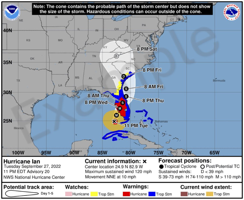
Xwitter
The release explaining the changes is at the link in the tweet.
@NWSNHC
quote:
The National Hurricane Center will begin issuing an experimental Tropical Cyclone Forecast Cone Graphic on our around August 15, 2024, that includes inland tropical storm and hurricane watches and warnings for the continental U.S.
Xwitter
The release explaining the changes is at the link in the tweet.
This post was edited on 2/6/24 at 11:36 am
Posted on 2/6/24 at 11:35 am to Aubie Spr96

Posted on 2/6/24 at 11:37 am to SelaTiger
consequences of global warming remind me of your posts.

Posted on 2/6/24 at 1:09 pm to Aubie Spr96
I gave up on them when they started naming snowstorms....
Posted on 2/6/24 at 1:43 pm to Klondikekajun
quote:
I gave up on them when they started naming snowstorms....
"They" didn't start naming Winter storms, The Weather Channel did.

Posted on 2/6/24 at 1:44 pm to Aubie Spr96


Posted on 2/6/24 at 1:49 pm to LegendInMyMind
quote:
The National Hurricane Center will begin issuing an experimental Tropical Cyclone Forecast Cone Graphic on our around August 15, 2024, that includes inland tropical storm and hurricane watches and warnings for the continental U.S.
I like this. Nothing has changed and it’s in no way fear mongering which is why most changes are made. These inland hurricane/ts warnings have always been issued so it’s good to see them finally go on a graphic. Honestly strange they were never on there in the first place.
Posted on 2/6/24 at 1:52 pm to The Boat
quote:
I like this. Nothing has changed and it’s in no way fear mongering which is why most changes are made. These inland hurricane/ts warnings have always been issued so it’s good to see them finally go on a graphic. Honestly strange they were never on there in the first place.
Yeah, they're consolidating products that were already publicly available. Most people only see "the cone", and too many fail to account for the size and scope of a storm. They see that center line, see they are twenty miles away from it, and think they're fine.
This at least makes that information more readily available without having to do any further "digging". I'm sure there will be issues with it, though, like always with messaging changes.
This post was edited on 2/6/24 at 1:54 pm
Posted on 2/6/24 at 1:54 pm to Aubie Spr96
How about we wait until we actually have a storm that warrants this.
Posted on 2/6/24 at 2:05 pm to Aubie Spr96
The last Cat 2 identified as a Cat 4, so.....

Posted on 2/6/24 at 2:19 pm to Aubie Spr96
They can't wait to trot Jim Cantore or some other personality out in a rain suit.


 Page 4 of 6

Popular
Back to top