- My Forums
- Tiger Rant
- LSU Recruiting
- SEC Rant
- Saints Talk
- Pelicans Talk
- More Sports Board
- Fantasy Sports
- Golf Board
- Soccer Board
- O-T Lounge
- Tech Board
- Home/Garden Board
- Outdoor Board
- Health/Fitness Board
- Movie/TV Board
- Book Board
- Music Board
- Political Talk
- Money Talk
- Fark Board
- Gaming Board
- Travel Board
- Food/Drink Board
- Ticket Exchange
- TD Help Board
Customize My Forums- View All Forums
- Show Left Links
- Topic Sort Options
- Trending Topics
- Recent Topics
- Active Topics
Started By
Message
re: Hurricane/Tropical Storm Idalia Discussion Thread
Posted on 8/27/23 at 10:13 am to deuce985
Posted on 8/27/23 at 10:13 am to deuce985
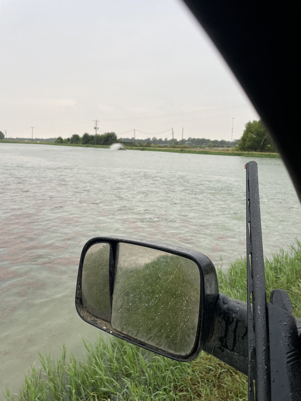
It’s a feed truck the feed dust gets it dirty like this every day. Have to keep window down while feeding fish to shoot egrets and blue herons trying to eat the fish
 1
1

Posted on 8/27/23 at 10:16 am to maisweh
She's now a Tropical Storm.
Posted on 8/27/23 at 10:31 am to deltaland
You baws want some fish?

Posted on 8/27/23 at 10:32 am to RollTide1987
If it follows the centerline of NHC track it might be best case scenario. Very sparsely populated area
Posted on 8/27/23 at 10:34 am to RollTide1987
quote:
She's now a Tropical Storm.
I know when they named ya
They surely meant well but
Idalia, Idalia
Girl won’t you tell me why
Sweet Idalia
You always gotta make me cry

Posted on 8/27/23 at 10:35 am to RollTide1987
Tropical Storm Idalia Tropical Cyclone Update
NWS National Hurricane Center Miami FL AL102023
1015 AM CDT Sun Aug 27 2023
...DEPRESSION STRENGTHENS TO A TROPICAL STORM...
Observations from a NOAA Hurricane Hunter aircraft indicate that
Tropical Depression Ten has strengthened into Tropical Storm Idalia.
The maximum winds are estimated to be 40 mph (65 km/h) with higher
gusts.
SUMMARY OF 1015 AM CDT...1515 UTC...INFORMATION
---------------------------------------------------
LOCATION...19.9N 85.8W
ABOUT 80 MI...135 KM ESE OF COZUMEL MEXICO
MAXIMUM SUSTAINED WINDS...40 MPH...65 KM/H
PRESENT MOVEMENT...E OR 90 DEGREES AT 2 MPH...4 KM/H
MINIMUM CENTRAL PRESSURE...996 MB...29.41 INCHES
$$
Forecaster Pasch

Posted on 8/27/23 at 10:38 am to deltaland
quote:
You baws want some fish?
Let me know where & I’ll load up my pole
Posted on 8/27/23 at 10:39 am to canyon
quote:
Pretty sure it says Wednesday August 30.
The image Ross posted was for Sept 8.
I’m trying to help stop confusion
Posted on 8/27/23 at 10:39 am to Roll Tide Ravens
Seems to be strengthening ahead of the models schedule
GFS and Euro didn’t have it at 996 until it was in the gulf. Trending more towards the hurricane models unfortunately
GFS and Euro didn’t have it at 996 until it was in the gulf. Trending more towards the hurricane models unfortunately
Posted on 8/27/23 at 10:43 am to deltaland
GFS 12z running now. Will be interesting now that we have more data
Posted on 8/27/23 at 10:47 am to deltaland
quote:
deltaland
Jesus Christ clean your car, baw.
Posted on 8/27/23 at 10:48 am to deltaland
quote:
You baws want some fish?
Promise me something bigger than five inches and I'm in...
Posted on 8/27/23 at 10:50 am to jaytothen
quote:TWSS...
Promise me something bigger than five inches and I'm in...
Posted on 8/27/23 at 10:53 am to deltaland
quote:
Seems to be strengthening ahead of the models schedule GFS and Euro didn’t have it at 996 until it was in the gulf. Trending more towards the hurricane models unfortunately
Per Levi’s commentary yesterday that is cause for alarm. His idea that the earlier it got stronger the earlier it could possibly isolate itself from dry air.
Floridians should be alert to this.
Posted on 8/27/23 at 10:56 am to doubleb
Stronger earlier and more able to bully away shear in the Gulf as well.
Posted on 8/27/23 at 10:58 am to doubleb
quote:When they hear about this they'll probably have to go change their jorts...
Floridians should be alert to this.
Posted on 8/27/23 at 10:59 am to Duke
If I were in the greater Tampa/St Pete area, I would be making plans and preparing today. Going to be a close call for those folks with any slight deviations
Posted on 8/27/23 at 11:00 am to Bestbank Tiger
quote:Isidore Newman for proof
Isidore is a man's name.
Posted on 8/27/23 at 11:00 am to doubleb
Interesting that the center is completely exposed in the middle of all the thunderstorms.


Posted on 8/27/23 at 11:04 am to lsugolfredman
Holy crap....my friend in Tampa just sent me this, all of the water has been sucked out of the bay

Have to wait for it to flow back in
Have to wait for it to flow back in
This post was edited on 8/27/23 at 11:05 am

 Page 55 of 139

Popular
Back to top