- My Forums
- Tiger Rant
- LSU Recruiting
- SEC Rant
- Saints Talk
- Pelicans Talk
- More Sports Board
- Fantasy Sports
- Golf Board
- Soccer Board
- O-T Lounge
- Tech Board
- Home/Garden Board
- Outdoor Board
- Health/Fitness Board
- Movie/TV Board
- Book Board
- Music Board
- Political Talk
- Money Talk
- Fark Board
- Gaming Board
- Travel Board
- Food/Drink Board
- Ticket Exchange
- TD Help Board
Customize My Forums- View All Forums
- Show Left Links
- Topic Sort Options
- Trending Topics
- Recent Topics
- Active Topics
Started By
Message
re: Hurricane Nate - Moving Inland - Hurricane Season Over?
Posted on 9/30/17 at 3:00 pm to rds dc
Posted on 9/30/17 at 3:00 pm to rds dc
quote:
Hurricane Season - Come on Cold Fronts, Time to End This
Got my vote. It's going to take forever to clean up and repair the damage from the ones that hit Texas and PR. PR is going to essentially be akin to starting all over again.
 0
0

Posted on 9/30/17 at 4:29 pm to rds dc
Somehow I missed how Lee died out as a tropical depression then moved north and somehow regained strength into a Cat 3 in the North Atlantic.
That's fricking odd
That's fricking odd
Posted on 10/1/17 at 9:31 am to rds dc
Thinking hasn't changed much, still watching the WCAB for development.


Posted on 10/3/17 at 6:53 am to rds dc
haven't we already had enough bad news for the week?
And it's only Tuesday.
And it's only Tuesday.

Posted on 10/3/17 at 6:54 am to rds dc
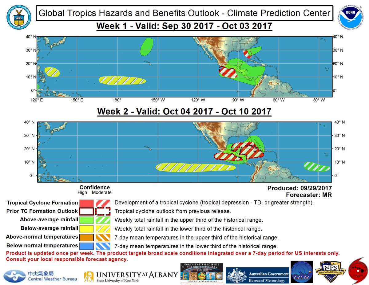
30% seems low for development, no?
Posted on 10/3/17 at 7:57 am to Paul Allen
the problem is, if it does start to develop - it will probly explode quickly.
Posted on 10/3/17 at 8:10 am to rds dc
The latest euro is interesting.
Posted on 10/3/17 at 8:11 am to Thracken13
quote:None of the models (that I've seen) show any kind of significant storm coming out of this mess at this time. Not to say a sheared, lop sided weak tropical storm couldn't cause flooding related problems but there seems to be very little chance of any kind of intense cyclone for the foreseeable future. There is a lot made of the very warm/hot untapped sea surface temperatures energy, but there is so much more that affects the development such as winds aloft, high pressure ridges and domes, fronts, shear, upper level lows, etc. And apparently some of those factors are forecast to inhibit significant development. Any of the Pro Met's on here are welcome to correct me if I'm wrong. Things can change but with the prognosticated development now within just few days and no models showing anything very significant, I'd be utterly shocked if an intense storm rapidly developed in the gulf between now and early next week.
the problem is, if it does start to develop - it will probly explode quickly
This post was edited on 10/3/17 at 9:04 am
Posted on 10/3/17 at 8:13 am to rds dc
Overnight models in pretty good agreement on a northward track.
Euro

GFS
UK

Euro
GFS
UK
Posted on 10/3/17 at 8:55 am to rds dc
I'm okay with a storm or weak cat 1.
There is a ton of standing bad timber in the woods right now.
Pretty dangerous.
There is a ton of standing bad timber in the woods right now.
Pretty dangerous.

Posted on 10/3/17 at 9:05 am to rds dc
What is the timing of this system looking like? This weekend?
Posted on 10/3/17 at 9:08 am to CuseTiger
Looks late Saturday into Sunday. Seven day maps posted with it already inland, just interpolating.
Not likely at all to be a major hurricane.
Not likely at all to be a major hurricane.
Posted on 10/3/17 at 9:38 am to Duke
Problem with those tracks is it pretty much takes it right over the warmest water in the gulf right now which wouldn't be surprising at all to see it intensify rather quickly if all the projected obstacles don't go as plan. Seems timing is in play here. How fast something forms if anything at all.
Posted on 10/3/17 at 9:56 am to deuce985
I would be shocked if this made it to hurricane status and I have my doubts it even gets named. Probably a messy, sheared TS at best. It could have a direct hit on south Louisiana and the effects may hardly be felt here. Or, there is the slim chance it blows up into a major hurricane but the conditions don't seem great. Everyone wants to focus on the water temps but this should run into some big shear and dry air as it heads north. Even if it takes a run at hurricane strength, I could see it basically falling apart as it nears the coast of the U.S. We have seen that a number of times over the last 10 years or so.
Posted on 10/3/17 at 10:01 am to BigB0882
I agree but atmospheric conditions can change overnight in these systems. That's why I said the projected obstacles don't look good for it. Water temp seems to be the only thing the models show in favor for the system's development. Another good thing about it is the system seems to be fast moving so it's not going to give it time to really rapidly intensify anyway. At least right now what everything is showing.
This post was edited on 10/3/17 at 10:03 am
Posted on 10/3/17 at 10:53 am to deuce985
4 years ago Thursday they had a system move into the gulf and it went from a storm to a cat 4 in about 2 days - then it died way down before coming ashore - was the day of my wedding in Mobile lol.,
Posted on 10/3/17 at 11:16 am to Thracken13


Posted on 10/3/17 at 11:23 am to OldSouth
Mitch might want to think about coming home from his vacation in the Keys and get his pumps straight.
Posted on 10/3/17 at 11:25 am to OldSouth
well if that hold true, whoever said NO would get the next one is gonna feel like a massive dick

 Page 5 of 193

Popular
Back to top