- My Forums
- Tiger Rant
- LSU Recruiting
- SEC Rant
- Saints Talk
- Pelicans Talk
- More Sports Board
- Fantasy Sports
- Golf Board
- Soccer Board
- O-T Lounge
- Tech Board
- Home/Garden Board
- Outdoor Board
- Health/Fitness Board
- Movie/TV Board
- Book Board
- Music Board
- Political Talk
- Money Talk
- Fark Board
- Gaming Board
- Travel Board
- Food/Drink Board
- Ticket Exchange
- TD Help Board
Customize My Forums- View All Forums
- Show Left Links
- Topic Sort Options
- Trending Topics
- Recent Topics
- Active Topics
Started By
Message
re: Deep South winter storm and arctic outbreak - Jan. 20-23 timeframe
Posted on 1/18/25 at 3:35 pm to charlestonchief

Posted on 1/18/25 at 3:35 pm to charlestonchief
I drip the kitchen faucet near the front of the house and a bathroom faucet in the back. Going to check the dishwasher thing out though.
 0
0

Posted on 1/18/25 at 3:43 pm to VCeagle2013
quote:
12z NAM run had higher totals because the storm had fully passed through by the end of the run.
18z NAM, the storm was delayed a few hours so the last frame has precipitation still on the eastern half of the state that aren't accounted for in the totals.
The NAM is not your friend if it is snow you're wanting.

Posted on 1/18/25 at 4:00 pm to VCeagle2013
Is that showing DFW getting a pass on this?
Please say yes.
Please say yes.
Posted on 1/18/25 at 4:01 pm to LegendInMyMind
18z GFS just keeps creeping upwards on snow totals for the 10/12 corridor. Damn

Posted on 1/18/25 at 4:03 pm to LegendInMyMind
For the guys worried about the NAM, it's the outlier.
Euro and ICON BURY Louisiana in snow.
GFS is trending all snow but lower totals and the system moving further north.
GRAFF (which was garbage for Tropical systems) has all snow except the coast. More sleet and ice to start but moves the snow line down as the moisture comes in.
NAM isn't the model to focus on right now.
Posted on 1/18/25 at 4:05 pm to jaytothen
quote:
NAM isn't the model to focus on right now.
It is the only high resolution model in range.
Posted on 1/18/25 at 4:06 pm to jaytothen
Loading Twitter/X Embed...
If tweet fails to load, click here. Graf starting to get into range
Posted on 1/18/25 at 4:07 pm to lsugolfredman
And pretty much took it away from central MS. Damn
Posted on 1/18/25 at 4:11 pm to SWLA92
quote:
Graf starting to get into range
Similar to the NAM.
Posted on 1/18/25 at 4:16 pm to Roll Tide Ravens
i hear there's a snowstorm coming
but first, I make a roux
but first, I make a roux
Posted on 1/18/25 at 4:19 pm to DVinBR
Tuesdays forecast for Prairieville just moved to 100% chance of snow
Posted on 1/18/25 at 4:23 pm to BOSCEAUX
Snow/ice cover keeps temperatures colder....
Posted on 1/18/25 at 4:25 pm to LSUGrrrl
I think our neck of the woods is coldddddd and dry
Posted on 1/18/25 at 4:27 pm to wfallstiger
What’s your neck of the woods
Posted on 1/18/25 at 4:27 pm to wfallstiger
We have a match tomorrow and USTA rules state that the match can’t be rescheduled unless actual temps on weather.com are 34° or below. Wind chill doesn’t count. It’s going to be brutal 
Posted on 1/18/25 at 4:34 pm to Prominentwon
Lake Charles infrastructure is brand new.
Took a lot of awful for that to happen though
Yep, and a couple weeks ago it failed. 1st cold spell we had it shut down for 8hrs just for cold temps
Took a lot of awful for that to happen though
Yep, and a couple weeks ago it failed. 1st cold spell we had it shut down for 8hrs just for cold temps
Posted on 1/18/25 at 4:41 pm to DVinBR
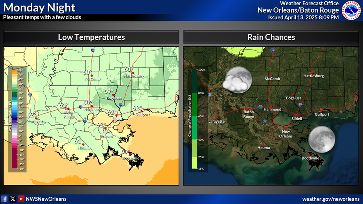
The local National Weather Service office for New Orleans/Baton Rouge is starting to get a handle on what they think is gonna happen.
This post was edited on 1/18/25 at 4:42 pm

Posted on 1/18/25 at 4:41 pm to SWLA92
frick that ice in Houston

Posted on 1/18/25 at 4:44 pm to Twincam
quote:the GRAF model which is now in range posted right above you shows south central MS snow beginning overnight into Tuesday morning and snow through the end of the run in the afternoon. Depends on where you are but with the colder temps in central MS you’re less likely to see ice and could snow the entirety of the day
pretty much took it away from central MS. Damn
Posted on 1/18/25 at 4:49 pm to jaytothen
The NAM isn’t a great model in predicting winter weather

 Page 47 of 191

Popular
Back to top