




- My Forums
- Tiger Rant
- LSU Recruiting
- SEC Rant
- Saints Talk
- Pelicans Talk
- More Sports Board
- Fantasy Sports
- Golf Board
- Soccer Board
- O-T Lounge
- Tech Board
- Home/Garden Board
- Outdoor Board
- Health/Fitness Board
- Movie/TV Board
- Book Board
- Music Board
- Political Talk
- Money Talk
- Fark Board
- Gaming Board
- Travel Board
- Food/Drink Board
- Ticket Exchange
- TD Help Board
Customize My Forums- View All Forums
- Show Left Links
- Topic Sort Options
- Trending Topics
- Recent Topics
- Active Topics
Started By
Message
re: Storm Tracking: Bertha - It's Over
Posted on 7/22/26 at 12:52 pm to WylieTiger


Posted on 7/22/26 at 12:52 pm to WylieTiger
New Orleans and the entire lake region would be flooded.
 1
1


Posted on 7/22/26 at 1:02 pm to TDsngumbo
Yeah. The Shell Beach water level is currently 3.4 feet above expected tide with winds of only 30 to 35 mph.
Posted on 7/22/26 at 1:07 pm to NorthEndZone
Fishing is going to awesome after this storm. We needed some saltwater pushed in the lakes in a bad way.
Posted on 7/22/26 at 1:32 pm to NorthEndZone
Looks like landfall over St. Bernard is very close. Let's see when the NHC calls it.
That little passing 'squall' just came through here in Cut Off. Highest wind gust was 26
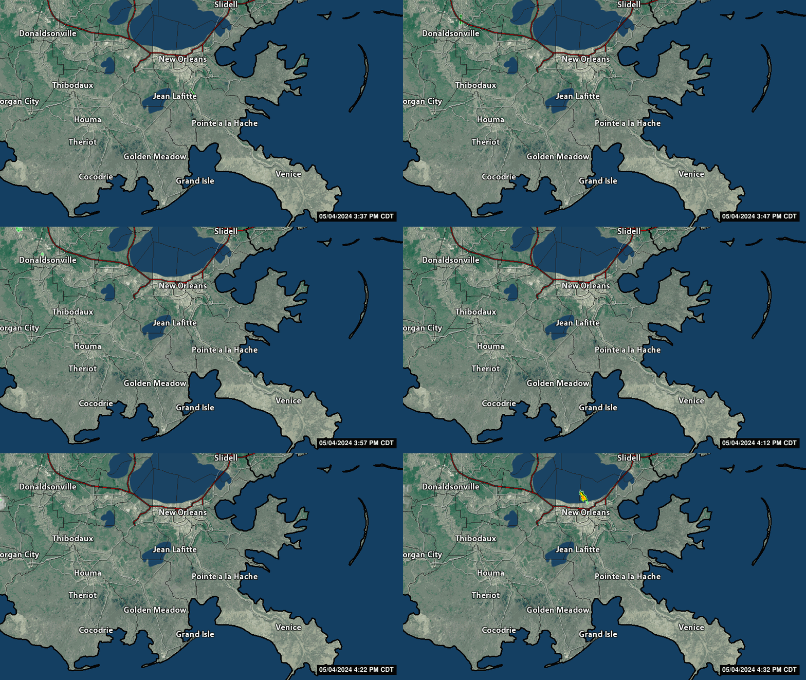
That little passing 'squall' just came through here in Cut Off. Highest wind gust was 26
This post was edited on 7/22/26 at 1:39 pm

Posted on 7/22/26 at 1:38 pm to Sharlo
quote:
quote:
South Walton County acting like they’ve been hit head on with a Cat 5
All those yankee transplants losing their collective sh*t.
Property owners on the beach pissed off because it's inching up that mean high tide line that they are all claiming as the edge of their "private" beach property.

Posted on 7/22/26 at 1:44 pm to PUB
Yes, my old friend from LSU who works in the Ag department told me that. I laughed! He said they’re worried about power going out and that Orleans parish doesn’t do the best job at keeping the lights on.
Posted on 7/22/26 at 2:05 pm to NorthEndZone
It's official...landfall in Da Parish at 2:00 PM with 45 mph winds and 1000 mb
quote:
Tropical Storm Bertha Tropical Cyclone Update
NWS National Hurricane Center Miami FL AL022026
200 PM CDT Wed Jul 22 2026
...TROPICAL STORM BERTHA MAKES LANDFALL IN ST. BERNARD PARISH,
LOUISIANA...
Satellite images indicate that the center of Tropical Storm Bertha
has made landfall near the Biloxi Wildlife Management Area in St.
Bernard Parish, Louisiana. The maximum sustained winds are estimated
to be 45 mph (75 km/h) with higher gusts.
SUMMARY OF 200 PM CDT...1900 UTC...INFORMATION
---------------------------------------------------
LOCATION...29.9N 89.4W
ABOUT 45 MI...70 KM SW OF BILOXI MISSISSIPPI
ABOUT 40 MI...65 KM E OF NEW ORLEANS LOUISIANA
MAXIMUM SUSTAINED WINDS...45 MPH...75 KM/H
PRESENT MOVEMENT...WNW OR 295 DEGREES AT 7 MPH...11 KM/H
MINIMUM CENTRAL PRESSURE...1000 MB...29.53 INCHES
$$
Forecaster Reinhart/Berg


Posted on 7/22/26 at 2:06 pm to rds dc
I think Tejas may be in for a little trouble.

Posted on 7/22/26 at 2:17 pm to udtiger
On wind and visible cloud imagery, it looks like the eye is going to pass directly over NOLA.
We might get some cool images from down town NOLA today.
We might get some cool images from down town NOLA today.
Posted on 7/22/26 at 2:22 pm to AutoYes_Clown
quote:
the eye


Posted on 7/22/26 at 2:27 pm to Y.A. Tittle
quote:
Property owners on the beach pissed off because it's inching up that mean high tide line that they are all claiming as the edge of their "private" beach property.
The hilarity in all of this is our “private” beach property has the gate locked because it’s unsafe
Posted on 7/22/26 at 2:30 pm to NorthEndZone
looks like slidell is getting hammered by the north western eye wall.
Posted on 7/22/26 at 2:35 pm to NorthEndZone


Posted on 7/22/26 at 2:42 pm to Doby
quote:
Fishing is going to awesome after this storm. We needed some saltwater pushed in the lakes in a bad way.
I was thinking the same. Couldn’t hurt

Posted on 7/22/26 at 2:43 pm to NorthEndZone
It's weird how that actually looks like a rather impressive storm setup and then you step outside at a location on the edge of that "eye."
Posted on 7/22/26 at 2:44 pm to sledgehammer
quote:
Yes, my old friend from LSU who works in the Ag department told me that. I laughed! He said they’re worried about power going out and that Orleans parish doesn’t do the best job at keeping the lights on.
Entergy doesn't need a storm to screw up the power.
Posted on 7/22/26 at 2:58 pm to Chad504boy
quote:Right, it looks like Slidell is having to deal with sustained winds of 20 mph...
looks like slidell is getting hammered


Posted on 7/22/26 at 2:59 pm to Roux22
quote:
This thing can still go ham on east Texas
Calm down the wishcasting, Jim Cantore
Posted on 7/22/26 at 3:00 pm to LSURussian
Lake Charles is ready!

Posted on 7/22/26 at 3:05 pm to sledgehammer
quote:
Lake Charles is ready!
Have you looked at tomorrow's forecast on the KPLC app? It's laughable. 40% chance of scattered showers around 12 PM and done by 3PM. Peak wind of 19MPH
They need to take the warnings down. No way it's still a TS when it gets here.
This post was edited on 7/22/26 at 3:06 pm

 Page 33 of 38

Popular
Back to top
 Follow TigerDroppings for LSU Football News