- My Forums
- Tiger Rant
- LSU Recruiting
- SEC Rant
- Saints Talk
- Pelicans Talk
- More Sports Board
- Fantasy Sports
- Golf Board
- Soccer Board
- O-T Lounge
- Tech Board
- Home/Garden Board
- Outdoor Board
- Health/Fitness Board
- Movie/TV Board
- Book Board
- Music Board
- Political Talk
- Money Talk
- Fark Board
- Gaming Board
- Travel Board
- Food/Drink Board
- Ticket Exchange
- TD Help Board
Customize My Forums- View All Forums
- Show Left Links
- Topic Sort Options
- Trending Topics
- Recent Topics
- Active Topics
Started By
Message
re: Snow Tease for Baton Rouge (Saturday) UPDATE (1/20)
Posted on 1/19/22 at 8:42 am to Impotent Waffle
Posted on 1/19/22 at 8:42 am to Impotent Waffle

 1
1


Posted on 1/19/22 at 8:54 am to DVinBR
I like that total way better! Do they still shut the city down? I say probably but who knows
Posted on 1/19/22 at 9:00 am to Impotent Waffle
quote:
Whats the latest for BR and surrounding areas. Appreciate it, have a nice day
Models are converging on a low impact solution. Maybe a light frosting but totals look to be under 0.1"
Posted on 1/19/22 at 9:24 am to notiger1997

For the Houston baws
Posted on 1/19/22 at 9:54 am to Duke
0.1 is wayyyy better. Lets hold onto that

Posted on 1/19/22 at 10:09 am to LSU-MNCBABY
quote:
uncertainty regarding how far inland precip pushes overnight and exactly when dry air will push the precip out
quote:
exactly when dry air will push the precip out
quote:
dry air will push the precip out
quote:
dry air
Posted on 1/19/22 at 10:11 am to soccerfüt
quote:
In 1980 there was snow in BR on a regular basis.
I remember when snow tires were required on the I-10 high rise in New Orleans East in the 80s.
Posted on 1/19/22 at 10:12 am to MrLSU
Now bullet proof tires are required
Posted on 1/19/22 at 10:44 am to Impotent Waffle
Supposed to be going to see a band at the Hollywood Casino in Bay St. Louis on Friday night.
Wonder if all this will be gone and melted by then. Concern is crossing the twin spans and into MS and down. Southshore NOLA looks to be ok.
Wonder if all this will be gone and melted by then. Concern is crossing the twin spans and into MS and down. Southshore NOLA looks to be ok.
Posted on 1/19/22 at 10:46 am to LSUFanHouston
quote:
Concern is crossing the twin spans and into MS and down.
If you can make it up that bridge over the Pearl you should be able to coast the rest of the way.
Posted on 1/19/22 at 10:47 am to Duke
quote:
Models are converging on a low impact solution. Maybe a light frosting but totals look to be under 0.1"
And just like that.....she gone! 24 hours time from the NAM showing almost 1.25" of ice in places to mostly nothing. This is why you don't get too excited about a model run, particularly with Winter weather in the South.

Posted on 1/19/22 at 10:49 am to LegendInMyMind
Yes!!!!! 
Posted on 1/19/22 at 10:52 am to LegendInMyMind
I've learned over the years that if they predict snow little or nothing will happen. It's when they don't predict it that you need to be ready for it.
Posted on 1/19/22 at 11:08 am to LSUFanHouston
quote:
Supposed to be going to see a band at the Hollywood Casino in Bay St. Louis on Friday night. Wonder if all this will be gone and melted by then. Concern is crossing the twin spans and into MS and down. Southshore NOLA looks to be ok.
Headed that way Friday afternoon also and hoping it being warm today and still above freezing tomorrow will keep the bridges from getting cold enough to really freeze.
This post was edited on 1/19/22 at 11:09 am

Posted on 1/19/22 at 11:16 am to Impotent Waffle
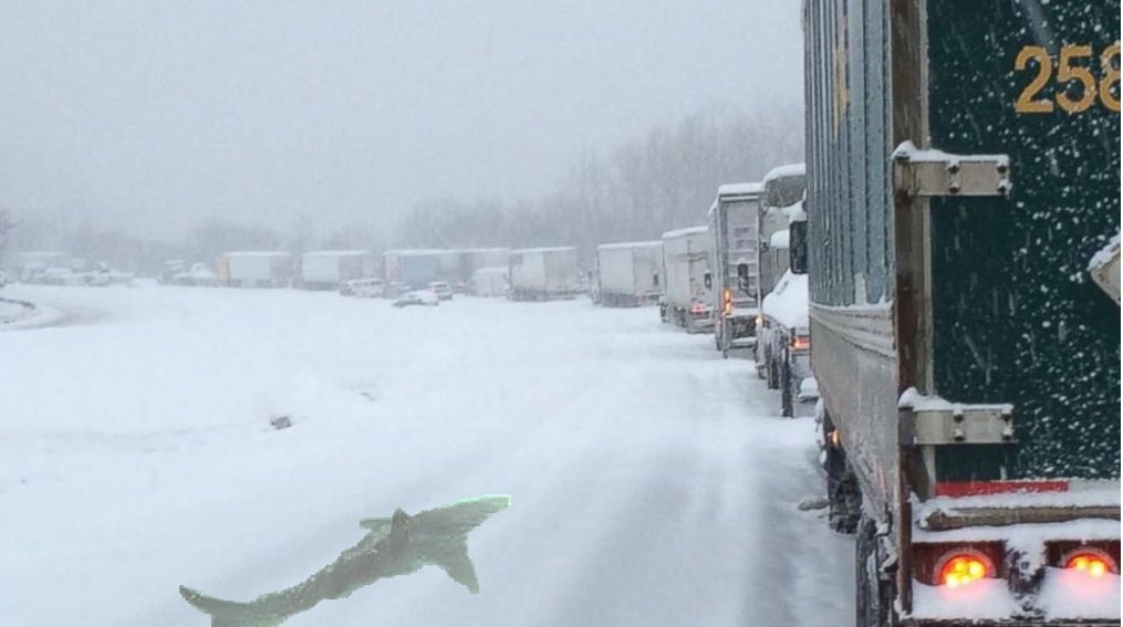
We don't need a repeat of last year on I-10.
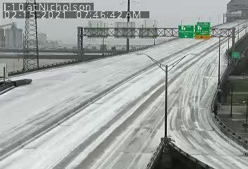
My friend had sent me this from LA 415 Lobdell & 1-10, where it curves to go to the Bridge
My friend had sent me this from LA 415 Lobdell & 1-10, where it curves to go to the Bridge
This post was edited on 1/19/22 at 11:24 am
Posted on 1/19/22 at 11:20 am to LaBR4
quote:
Meteorologist Nick Mikulas
Once again, the elusive entity known as the winter storm appears to be dodging most of Louisiana. I’d put chances at less than 10% that we see anything wintry at my house in Alexandria, but keep chances in the 30-40% range down along I-10 for some light freezing rain, or perhaps a little sleet. That’s still front page news down this way, but it doesn’t look like a destructive ice storm at this point. It’ll still be very cold Thursday and Friday, with temperatures in the 30s during the daylight hours, and wind gusting over 20 mph. That means wind chills in the teens and 20s, with a couple hard freezes likely.
As the wintry mix threat shrinks, the threat for severe weather is ticking up a bit. This still doesn’t look like an outbreak, but models are showing a bit earlier start, and the potential for individual cells and supercells to develop, starting around 3:00 PM. This is a different set up than usual. We usually have a ton of moisture, and very low cloud bases. It’s why you rarely see storm structure, or a tornado as it happens in Louisiana. The low level moisture won’t be nearly as significant as it usually is, which will serve a couple purposes. First, lower moisture at the surface means lower instability. There will still be enough instability, but it won’t be off the charts. Dry air near the surface also allows downdrafts to accelerate. That means damaging straight line wind will be possible with any supercell that manages to develop.
What this all adds up to is an earlier severe threat. On the bright side, that means we shouldn’t be dealing with a middle of the night problem. It seems 3:00 PM until 11:00 PM is going to be our prime time for problems, with 3:00 PM until 8:00 PM being our best chance for severe weather. Then everything kind of forms into a big blob of rain and thunder. SPC now has us in a slight risk, or level 2 of 5 risk for severe weather. Even with the moisture not being incredibly rich, several hours of thunderstorms means most will see 1-2 inches of rain, and it’s possible that isolated areas will see 4+ inches. We should be able to handle that much rain, but some street flooding is possible, and any creeks that flood easily may rise pretty quickly. All modes of severe weather are possible, but the most widespread concern is straight line wind. There may be a tornado or two, and as I’ve said a million times, (common sense alert) it only takes one. Hail is possible, but this set up would favor more pea to nickel sized hail than anything huge.
I’ll be on radar watch this afternoon and evening, and will update if any sort of wintry threat tries to slip back in. For now, the severe concern is much higher on my watch list than anything wintry. I’ll keep you posted!
Posted on 1/19/22 at 11:22 am to Aspercel
I can’t believe more than just my regular downvote stalker got me there. Do people actually want to be iced in with no power? This place is weird…
Posted on 1/19/22 at 11:26 am to Aspercel
I had enough of that last year. No more for me tyvm

 Page 19 of 40

Popular
Back to top