- My Forums
- Tiger Rant
- LSU Recruiting
- SEC Rant
- Saints Talk
- Pelicans Talk
- More Sports Board
- Fantasy Sports
- Golf Board
- Soccer Board
- O-T Lounge
- Tech Board
- Home/Garden Board
- Outdoor Board
- Health/Fitness Board
- Movie/TV Board
- Book Board
- Music Board
- Political Talk
- Money Talk
- Fark Board
- Gaming Board
- Travel Board
- Food/Drink Board
- Ticket Exchange
- TD Help Board
Customize My Forums- View All Forums
- Show Left Links
- Topic Sort Options
- Trending Topics
- Recent Topics
- Active Topics
Started By
Message
re: Sally - Moving towards Georgia - Potential for Significant Flooding
Posted on 9/16/20 at 1:27 pm to ABucks11
Posted on 9/16/20 at 1:27 pm to ABucks11
quote:
That shark picture never even happened. It’s photoshopped during Harvey.
Dude it happened during Harvey. I know the guy who lives next door the guy that’s in the Cajun Navy that took the pic.
 2
2

Posted on 9/16/20 at 1:29 pm to ABucks11
quote:
That shark picture never even happened. It’s photoshopped during Harvey.
It's been around longer than that. Forget which storm I first saw it, but it involved Jacksonville, FL.

Posted on 9/16/20 at 1:29 pm to LegendInMyMind
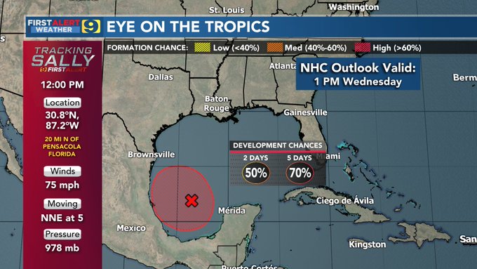
There's probably a better GIF of this somewhere, but here's the "5-day Forecast Track and Watch/Warning Graphic" that shows the evolution of the cone.
SALLY Graphics Archive
SALLY Graphics Archive

Posted on 9/16/20 at 1:35 pm to paperwasp
IT's been said already, but I'll say it again. NOLA really got lucky with this one.

Posted on 9/16/20 at 1:37 pm to paperwasp
quote:
5-day Forecast Track and Watch/Warning Graphic
That still will not settle the debate among the retards in here
Posted on 9/16/20 at 1:37 pm to paperwasp
So the landfall location was included in the original “cone” first posted by NHC?
Yeah, they’re terrible at their job
Yeah, they’re terrible at their job

Posted on 9/16/20 at 1:39 pm to lsufishnhunt

Posted on 9/16/20 at 1:40 pm to paperwasp
quote:
There's probably a better GIF of this somewhere, but here's the "5-day Forecast Track and Watch/Warning Graphic" that shows the evolution of the cone.
SALLY Graphics Archive
Great gif. I hate to say this but I believe NOAA always errs on the side of warning NOLA has tropical systems head for the central Gulf. All major cities probably get the same forecast treatment from the weathermen. It's a risk assessment thing, I guess. I work in O&G and the hurricane forecast for public consumption is MUCH broader than the forecast that big oil pays private firms, as it should be. The difference between having to shut in a well versus not shutting in can be as little as 50 miles or lower and a difference in millions of dollars.

Posted on 9/16/20 at 1:41 pm to lsufishnhunt
quote:
So the landfall location was included in the original “cone” first posted by NHC?
Yeah, they’re terrible at their job
They’re not terrible at their job but the cone referenced had the storm making landfall from the southeast. When it makes landfall from the southwest it means you screwed up.

Posted on 9/16/20 at 1:41 pm to tgrbaitn08
Wrong......
Posted on 9/16/20 at 1:41 pm to lsufishnhunt
Anyone know what damage/flooding is like in the Crestview neighborhood in Mobile? My daughter lives in the area, close to the DMV and cell phone service appears to be out.
Posted on 9/16/20 at 1:41 pm to lsufishnhunt
quote:
Yeah, they’re terrible at their job
Completely unfair statement. There is so much that goes into forecasting that 99.9% of the people here don’t understand. They have to rely on modeling (and they don’t make the models), and when those models change they have to shift the track. Too many if you are expecting perfection from an imperfect science.
This post was edited on 9/16/20 at 1:45 pm

Posted on 9/16/20 at 1:41 pm to lsufishnhunt
On Sep 13, the cone did not include Alabama
Posted on 9/16/20 at 1:42 pm to dukke v
quote:
Wrong......
Prove me wrong
BTW, you have no business saying someone else is wrong
Posted on 9/16/20 at 1:43 pm to Chicken
quote:
On Sep 13, the cone did not include Alabama
Exactly and on Sept 14th at 915 pm I predicted a Fort Morgan landfall

Posted on 9/16/20 at 1:43 pm to tgrbaitn08
Posted on 9/16/20 at 1:43 pm to The Boat
quote:
They’re not terrible at their job but the cone referenced had the storm making landfall from the southeast. When it makes landfall from the southwest it means you screwed up.

I got lucky.
Posted on 9/16/20 at 1:44 pm to tgrbaitn08
quote:
Sept 14th at 915 pm I predicted a Fort Morgan landfall
And on September 13th, 14th, 15th, and 16th you got into a pissing match in this thread (probably).

Posted on 9/16/20 at 1:45 pm to GumboPot
Nice call Gumbo.
Posted on 9/16/20 at 1:46 pm to Roll Tide Ravens
quote:
And on September 13th, 14th, 15th, and 16th you got into a pissing match in this thread (probably).
Nah not really

 Page 280 of 298

Popular
Back to top