- My Forums
- Tiger Rant
- LSU Recruiting
- SEC Rant
- Saints Talk
- Pelicans Talk
- More Sports Board
- Fantasy Sports
- Golf Board
- Soccer Board
- O-T Lounge
- Tech Board
- Home/Garden Board
- Outdoor Board
- Health/Fitness Board
- Movie/TV Board
- Book Board
- Music Board
- Political Talk
- Money Talk
- Fark Board
- Gaming Board
- Travel Board
- Food/Drink Board
- Ticket Exchange
- TD Help Board
Customize My Forums- View All Forums
- Show Left Links
- Topic Sort Options
- Trending Topics
- Recent Topics
- Active Topics
Started By
Message


 2
2


Posted on 5/21/21 at 12:27 pm to NorthEndZone
quote:
But water Vapor shows dry air in core for now..
It might make a run at a depression but it'll be inland by 3am tonight. Not much time for anything thankfully.
Posted on 5/21/21 at 12:37 pm to NorthEndZone
Visable looks moist, but there's still a half naked swirl at the center. Got a dry slot coming in behind what looks an awful lot like a front. In other words, doesn't look at that tropical to me, but we know how this works.
Storm enough over warm water, and eventually it'll get it's self tropical.
Storm enough over warm water, and eventually it'll get it's self tropical.
Posted on 5/21/21 at 12:41 pm to Duke
quote:
eventually it'll get it's self tropical.
It'll be inland late tonight, early morning. It could but it's got very little time. If it was August I think we'd be more concerned.
Posted on 5/21/21 at 12:42 pm to Duke
quote:
Visable looks moist, but there's still a half naked swirl at the center. Got a dry slot coming in behind what looks an awful lot like a front. In other words, doesn't look at that tropical to me, but we know how this works.
Now you're just trying to make it sound dirty.
Posted on 5/21/21 at 12:44 pm to Oates Mustache
Officially "Tropical" or not, it is bringing the same amount of rain no matter what you call it.

Posted on 5/21/21 at 12:46 pm to rds dc
Oh shite looks like Texas Coast picking up steam.
Posted on 5/21/21 at 12:48 pm to LegendInMyMind
Thankfully that is also minimal through tomorrow. Monday and Tuesdays crap was worse than this, though in reality it's the same system. 

Posted on 5/21/21 at 12:49 pm to rds dc


Posted on 5/21/21 at 12:56 pm to soccerfüt
We are flooded in. Hope that storm takes this wind with it.
Posted on 5/21/21 at 2:00 pm to redneck
quote:
Coastal areas of Bay St Louis have been flooded (on rising tide) since Tuesday. Here's a couple photos from our subdivision.
It's scary how a little system like this with the perfect wind/tide conditions can push this much water.
I drove on I-10 past La Place twice today and there is a shitton of water on both sides of the interstate there with on/off ramps swamped.
I know that area got flooded pretty bad from a hurricane 4-6 years back, but man it seems like it won't take much of a storm now to do that again but worse.

Posted on 5/21/21 at 2:01 pm to rds dc
quote:
rds dc
Am I going to get rain?
Posted on 5/21/21 at 2:08 pm to LegendInMyMind
quote:
Now you're just trying to make it sound dirty.
Accurate.
Posted on 5/22/21 at 1:50 pm to Duke
quote:
WTNT31 KNHC 221438 TCPAT1 BULLETIN Subtropical Storm Ana Advisory Number 2 NWS National Hurricane Center Miami FL AL012021 1100 AM AST Sat May 22 2021 ...ANA NOW MOVING WESTWARD WHILE NORTHEAST OF BERMUDA... SUMMARY OF 1100 AM AST...1500 UTC...INFORMATION ----------------------------------------------- LOCATION...34.3N 63.0W ABOUT 175 MI...280 KM NE OF BERMUDA MAXIMUM SUSTAINED WINDS...45 MPH...75 KM/H PRESENT MOVEMENT...W OR 270 DEGREES AT 3 MPH...6 KM/H MINIMUM CENTRAL PRESSURE...1006 MB...29.71 INCHES WATCHES AND WARNINGS -------------------- CHANGES WITH THIS ADVISORY: The Bermuda Weather Service has discontinued the Tropical Storm Watch for Bermuda. SUMMARY OF WATCHES AND WARNINGS IN EFFECT: There are no coastal watches of warnings in effect. DISCUSSION AND OUTLOOK ---------------------- At 1100 AM AST (1500 UTC), the center of Subtropical Storm Ana was located near latitude 34.3 North, longitude 63.0 West. The storm is moving toward the west near 3 mph (6 km/h). A turn toward the north at a slow forward speed is expected later today, followed by a faster motion toward the northeast Sunday and Monday. Maximum sustained winds are near 45 mph (75 km/h) with higher gusts. Little change in strength is forecast today, but gradual weakening is expected tonight and Sunday. Ana is expected to dissipate in a couple of days. Winds of 40 mph extend outward up to 105 miles (165 km) mainly to the north of the center. The estimated minimum central pressure is 1006 mb (29.71 inches). HAZARDS AFFECTING LAND ---------------------- WIND: Locally gusty winds are possible on Bermuda today. NEXT ADVISORY
Posted on 6/3/21 at 10:03 am to rds dc
Maybe some early season Gulf action if something forms in the Western Caribbean during Week 2 and lifts northward.

Posted on 6/3/21 at 11:52 am to rds dc
How about these storms decide to go anywhere but the gulf coast. I think they met their quota for at least a decade the past few years.
Posted on 6/4/21 at 8:32 pm to rds dc
Confidence is starting to grow that we will see a system form late next week in the WCAB or BOC and generally track northward. The overall background pattern has be pointing to this time frame for a bit and now the ensembles are starting to pickup on it. Both the GEFS and EPS now show a pretty strong signal for something forming b/w D7 - 10.
12z GEFS

12z EPS

Models are showing a blocked like pattern (meaning that the larger scale ridge and troughs aren't moving much) but there has been a pretty consistent weakness over the Western Gulf into Texas here lately and that will probably hold.

Typically, these early season systems are sloppy and lopsided eastward as late season cold fronts often pick them up and move them off. However, there might not be much in the way of steering to move this system out.
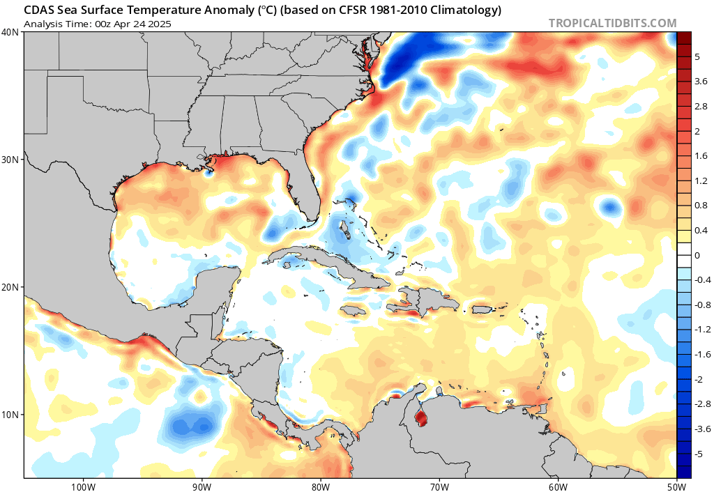
Gulf waters are warm but the consistent onshore flow and rain has really cooled the waters closer in, so that would work to lower the upper end of potential intensity.
Old school forecasters are always leery of the Ridge over Troubled Water setup.
12z GEFS
12z EPS
Models are showing a blocked like pattern (meaning that the larger scale ridge and troughs aren't moving much) but there has been a pretty consistent weakness over the Western Gulf into Texas here lately and that will probably hold.
Typically, these early season systems are sloppy and lopsided eastward as late season cold fronts often pick them up and move them off. However, there might not be much in the way of steering to move this system out.
Gulf waters are warm but the consistent onshore flow and rain has really cooled the waters closer in, so that would work to lower the upper end of potential intensity.
Old school forecasters are always leery of the Ridge over Troubled Water setup.
Posted on 6/4/21 at 9:33 pm to rds dc
quote:
rds dc
I always pick something up from your system preview post.


Posted on 6/6/21 at 7:55 am to rds dc
quote:
Ridge over Troubled Water setup.
:rimshot:
Also, frick Lake Charles again?

 Page 6 of 72

Popular
Back to top