




- My Forums
- Tiger Rant
- LSU Recruiting
- SEC Rant
- Saints Talk
- Pelicans Talk
- More Sports Board
- Fantasy Sports
- Golf Board
- Soccer Board
- O-T Lounge
- Tech Board
- Home/Garden Board
- Outdoor Board
- Health/Fitness Board
- Movie/TV Board
- Book Board
- Music Board
- Political Talk
- Money Talk
- Fark Board
- Gaming Board
- Travel Board
- Food/Drink Board
- Ticket Exchange
- TD Help Board
Customize My Forums- View All Forums
- Show Left Links
- Topic Sort Options
- Trending Topics
- Recent Topics
- Active Topics
Started By
Message


 0
0


Posted on 3/6/19 at 10:45 pm to Lsuhoohoo
It's not but there's still the questions of how much instability will be there per the discussion. Storms firing ahead of the best dynamics keeping the surface from getting a full dose of daytime heating. Those sorts of details will be clearer in the coming days.
Last weekend was a good reminder to remember the threat and pay attention to the warnings coming in.
Last weekend was a good reminder to remember the threat and pay attention to the warnings coming in.


Posted on 3/7/19 at 7:24 am to Duke
Whats the latest outlook on BR/NO on Saturday evening?


Posted on 3/7/19 at 7:34 am to BLIZZAKE7
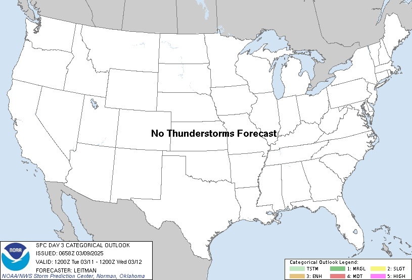
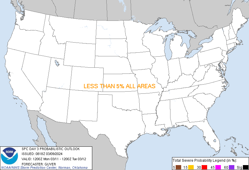
SPC Convective Outlook for Saturday
quote:
At this point, it appears that widespread ongoing/initially elevated thunderstorms will spread east/east-northeast out of Oklahoma/Kansas, across the Ozarks and into the mid and lower Mississippi Valley through the morning/early afternoon. Storms should become increasingly surface-based as low-level theta-e advection occurs, but degree of destabilization will largely be modulated substantially by the ongoing thunderstorms. Where the airmass can remain unperturbed into the afternoon, strong deep-layer shear anticipated across the region would support strong/organized updrafts, and thus risk for damaging winds and a few tornadoes. At this time, the most likely axis where conditions may become most favorable for a more substantial severe risk appears to exist from the Mississippi Delta region, east-northeast across northern Mississippi and parts of western Tennessee, and into the Tennessee Valley/northwest Alabama. However, with any corridors of higher risk dependent upon details with respect to the evolution of the storms, will refrain from introducing any 30% probability contours at this time.


Posted on 3/7/19 at 7:36 am to Roll Tide Ravens
I am actually more concerned about Tues/Wed as there will be a legit squall line moving through N.TX into NW/LA that has more severe potential than this weekend.
Posted on 3/7/19 at 12:35 pm to BLIZZAKE7
quote:
Whats the latest outlook on BR/NO on Saturday evening?
Trending the right direction. Might get a little bit of bad stuff overnight into Sunday with the trailing cold front, but the best dynamics are well north of us. More of a north Louisiana threat but even then it doesn't look especially impressive with surface based instability sitting around 700 j/kg off the NAM sounding.
Just keeping an eye on it now.
quote:
I am actually more concerned about Tues/Wed as there will be a legit squall line moving through N.TX into NW/LA that has more severe potential than this weekend.
That system looks to be a little stronger and strengthens some as it moves up toward the lakes. Certainly worth keeping an eye on. It's not showing up on the SPC's 4-8 day outlook but it's because of uncertainty in the evolution. The 12z GFS does show a primed environment for NE Texas with that system.

Posted on 3/7/19 at 2:40 pm to 50_Tiger
quote:
I am actually more concerned about Tues/Wed as there will be a legit squall line moving through N.TX into NW/LA that has more severe potential than this weekend.
Depending on timing, next week could be pretty wild across Texas and points East.

Posted on 3/8/19 at 12:36 pm to rds dc

Posted on 3/9/19 at 5:14 am to Jim Rockford
Line is rolling through. Woke my arse up. Hopefully the hail isn’t bad. I hate hail.
Posted on 3/9/19 at 8:55 am to 50_Tiger


Posted on 3/9/19 at 10:22 am to NorthEndZone
First few tornado warnings just went off.

Posted on 3/9/19 at 10:27 am to NorthEndZone
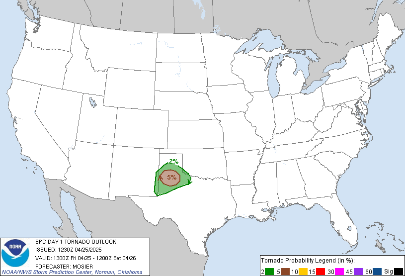
That high target area has shifted east overnight. It originally was closer to the Mississippi River and Memphis area.

Posted on 3/9/19 at 10:34 am to East Coast Band
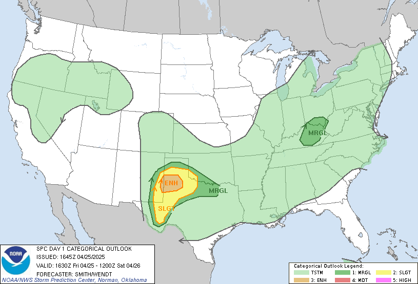
That’s just the tornado product. The categorical convective outlook still captures those areas:
This post was edited on 3/9/19 at 10:35 am
Posted on 3/9/19 at 10:44 am to FutureMikeVIII
Tornado warning for Plain Dealing.
Posted on 3/9/19 at 10:45 am to slackster

Posted on 3/9/19 at 10:48 am to slackster

Nasty little couplet near Plain Dealing.
Posted on 3/9/19 at 10:50 am to slackster

Posted on 3/9/19 at 10:59 am to slackster

SE of Little Rock.
Posted on 3/9/19 at 11:02 am to slackster

Two possible SE of Little Rock.

Posted on 3/9/19 at 11:12 am to slackster
I’ve been outside looking at the NW La tornado. Passed about 15 miles north of me. Didn’t see a funnel.

 Page 3 of 6

Popular
Back to top
 Follow TigerDroppings for LSU Football News