




- My Forums
- Tiger Rant
- LSU Recruiting
- SEC Rant
- Saints Talk
- Pelicans Talk
- More Sports Board
- Fantasy Sports
- Golf Board
- Soccer Board
- O-T Lounge
- Tech Board
- Home/Garden Board
- Outdoor Board
- Health/Fitness Board
- Movie/TV Board
- Book Board
- Music Board
- Political Talk
- Money Talk
- Fark Board
- Gaming Board
- Travel Board
- Food/Drink Board
- Ticket Exchange
- TD Help Board
Customize My Forums- View All Forums
- Show Left Links
- Topic Sort Options
- Trending Topics
- Recent Topics
- Active Topics
Started By
Message

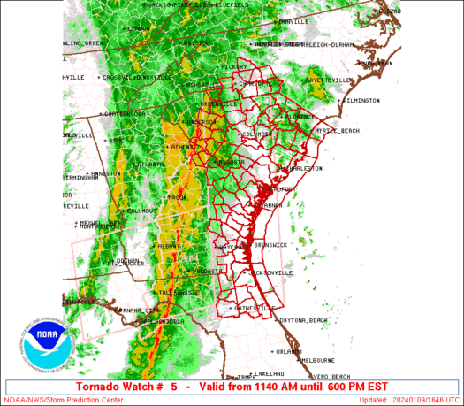
Tornado! Mod Risk: N MS, NW AL, W TN. Columbus, MS Tornado Hit. Moving into NW Bama.
Posted on 2/23/19 at 12:38 am

Posted on 2/23/19 at 12:38 am

quote:
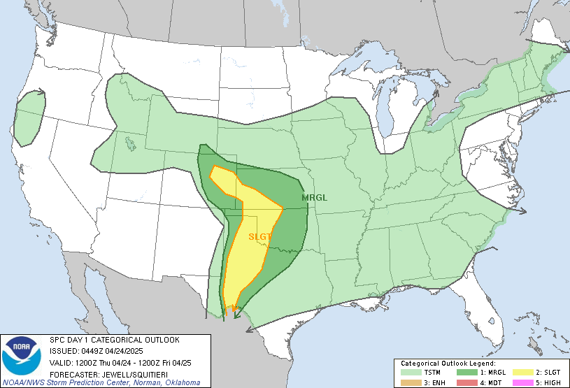
RAP forecast soundings across the Moderate Risk area from north-central Mississippi into southwest Tennessee at 21Z show moderate instability and impressive kinematic profiles. MLCAPE is forecast to be from 1000 to 1200 J/kg with 0-6 km shear in the 50 to 55 kt range. This will support supercell formation with cells that remain discrete. In addition, hodographs are long and looped with 0-3 km storm relative helicity values in the 350 to 450 m2/s2 range. This low-level shear environment will be favorable for tornadoes. A potential for long-track significant tornadoes will exist across the Moderate Risk area from late this morning through much of the afternoon.
SPC Day 1 Outlook
To make matters worse, high risk of excessive rainfall over practically the same area.
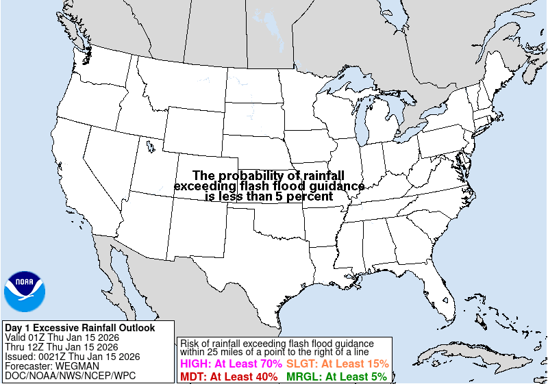
Saturated ground, strong winds, could be dropping some trees through north MS.
Get that radarscope ready to go.
This post was edited on 2/23/19 at 6:13 pm
 16
16



Posted on 2/23/19 at 12:39 am to Duke
yikes

Posted on 2/23/19 at 12:41 am to Duke
Yeah I'm fricking drowning over here.
shite is stupid.
shite is stupid.

Posted on 2/23/19 at 12:45 am to Duke
Yay,more rain! I haven't had enough yet

Posted on 2/23/19 at 12:57 am to Duke
It's that time of the season. Everybody be safe later today and heed those warnings.


Posted on 2/23/19 at 1:06 am to Duke
Ready to move..to..earthquake and tsunami areas.. 
Posted on 2/23/19 at 1:11 am to WestCoastAg
If I was a chaser, probably set up in Oxford or Tupelo. Best location likely instability wise. Suspect this is going to be messy with best shear and instability not quite lining up. Still enough for a long track if everything lines up a little better than the NAM soundings.
Counter point: if you ask weather Twitter tonight

Counter point: if you ask weather Twitter tonight
Posted on 2/23/19 at 1:42 am to Duke
quote:
To make matters worse, high risk of excessive rainfall over practically the same area.
I'm in Northssippi and have had 10"+ of rain in the last 48 hours. Supposed to keep on raining like a MOFO until Sat night.

Posted on 2/23/19 at 5:05 am to Duke
15% and 10% hatched tornado probabilities in the moderate and enhanced risk areas, meaning a 10% or higher risk of strong tornadoes (EF-2 to EF-5) within 25 miles of a given point.

This post was edited on 2/23/19 at 5:08 am

Posted on 2/23/19 at 7:20 am to Duke
Everyone stay safe today through tonight


Posted on 2/23/19 at 8:36 am to Duke
I grew up in Memphis, could’ve been me
Posted on 2/23/19 at 8:47 am to VolsOut4Harambe
It’s 71 degrees right now
This post was edited on 2/23/19 at 8:53 am

Posted on 2/23/19 at 8:56 am to VolsOut4Harambe
quote:
I grew up in Memphis, could’ve been me
Were these attempts of humor ever funny?
Posted on 2/23/19 at 10:41 am to Duke
Warm sector clearly showing up south of the warm front, cool season events are always tricky to forecast.


Posted on 2/23/19 at 10:47 am to Duke
We are in the fringe of that area. Muggy and still this morning. If you live in this part of the world you know it's an omen this time of year.


Posted on 2/23/19 at 10:58 am to rds dc
The turbulence must be crazy today for all those who are flying
Posted on 2/23/19 at 11:11 am to rds dc
Tornado watch coming for portions of LA


Posted on 2/23/19 at 11:13 am to Duke
Stay safe baws!
Posted on 2/23/19 at 11:27 am to Duke
Storm line just rolled through NW Louisiana where I live - ten minutes with about two minutes of a fair wind.

 Page 1 of 7

Popular
Back to top
 Follow TigerDroppings for LSU Football News