- My Forums
- Tiger Rant
- LSU Score Board
- LSU Recruiting
- SEC Rant
- SEC Score Board
- Saints Talk
- Pelicans Talk
- More Sports Board
- Coaching Changes
- Fantasy Sports
- Golf Board
- Soccer Board
- O-T Lounge
- Tech Board
- Home/Garden Board
- Outdoor Board
- Health/Fitness Board
- Movie/TV Board
- Book Board
- Music Board
- Political Talk
- Money Talk
- Fark Board
- Gaming Board
- Travel Board
- Food/Drink Board
- Ticket Exchange
- TD Help Board
Customize My Forums- View All Forums
- Show Left Links
- Topic Sort Options
- Trending Topics
- Recent Topics
- Active Topics
Started By
Message
re: Storm Aftermath - Hurricane Matthew will be Retired
Posted on 10/4/16 at 7:25 am to cajunangelle

Posted on 10/4/16 at 7:25 am to cajunangelle
quote:
I think it's you I owe an apology to. That Haiti tree stuff was on the weather channel. I thought you were getting political with some prog environwacko garbage.
Apologies times 1000. I was worried about the storm and where to evac to and all; and got pissy. Please forgive me.
It is really not a problem at all. No worries. It is really interesting to read about.
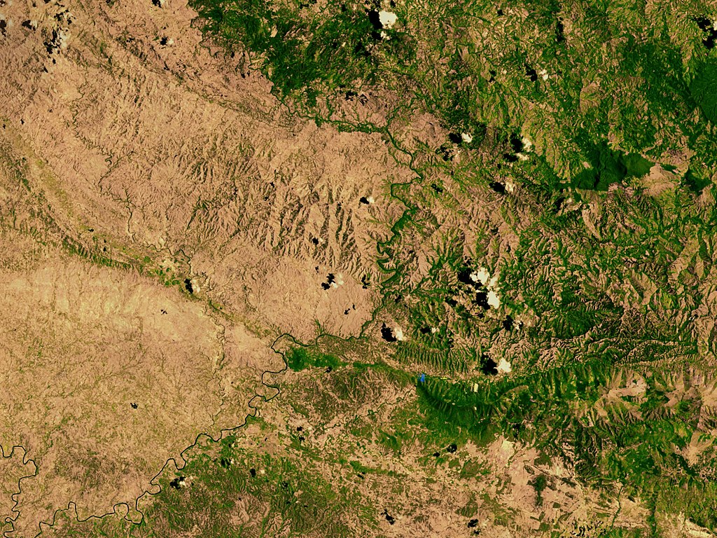
Haiti is on the left, DR is on the right.
Truly horrible state to be in during natural disasters.
 1
1


Posted on 10/4/16 at 7:25 am to PsychTiger
I know Fla. pretty well and I think Gainsville is inland enough for safety. Matthew is skirt chasing Fla. I think that would work out perfectly. I went to college in Gainsville years ago. You'd be safe.
ETA SCRATCH ALL THAT. The storm really jogged WEST. It is covering more Fla. than I thought. You still may be safe but I am not AS SURE.
ETA SCRATCH ALL THAT. The storm really jogged WEST. It is covering more Fla. than I thought. You still may be safe but I am not AS SURE.
This post was edited on 10/4/16 at 7:29 am
Posted on 10/4/16 at 7:31 am to Tiger in NY
quote:
Damn, I'm getting worried here in Jacksonville. Live a mile from the beach with the intracoastal marsh 50 yard behind my house. This thing keeps bumping west.
Also have family in Wilmington, NC. They better leave with their baby.
I am Wilm. and it is a hard call they are saying CAT2. But the Cape Fear river is a death trap for canes. I have a feeling it will be CAT3 plus...
Posted on 10/4/16 at 7:32 am to GetCocky11
The weather channel and others did entire segments on it. Very interesting. 
Posted on 10/4/16 at 7:41 am to PsychTiger
quote:
would Gainesville be far enough inland to avoid major damage
I'm gonna say not really. It could be, but you never know, not much room for error. My dad's in Jax and he and his wife are coming our way.
Posted on 10/4/16 at 7:44 am to Muice
Yeah I was just gonna tell him that I wouldn't be doing Gainesville, Fla. If I were in Fla. I'd be prepping to be high tailing it. (I am coastal Carolina and i am)
Posted on 10/4/16 at 7:49 am to Tiger in NY
quote:
Also have family in Wilmington, NC. They better leave with their baby.
Absolutely. I just moved back to SC not long ago after living at Carolina Beach for a year then moved to Wilmington Beach for almost 3 years. Rode out Hurricane Sandy living beachfront at Wilmington Beach. That one wasn't bad at all, though.
I've called all of my friends who live there and most are already making arrangements or have already made arrangements to leave for inland areas by Thursday to avoid any traffic gridlock that may occur..especially on the bridge heading out of Wilmington.
Good luck to your family there and I will definitely keep them in my thoughts and prayers.
Posted on 10/4/16 at 7:55 am to Carolina_Girl
I am now wondering if Fayetteville is far enough inland.
Posted on 10/4/16 at 7:56 am to Carolina_Girl
I'm worried about Charleston. Hugo was horrible, but Charleston development has blown up since 1989. There are homes in places that were just natural areas back then.
Posted on 10/4/16 at 7:58 am to GetCocky11
The same for Myrtle Bch...
Posted on 10/4/16 at 8:03 am to GetCocky11
Man good luck to all of you along the East Coast in the path of Matthew. Stay safe!
Posted on 10/4/16 at 8:04 am to tgrbaitn08
frick!
Posted on 10/4/16 at 8:04 am to 10MTNTiger
10MTNTiger:
Here is the latest NHC forecasts with the key info for GTMO in bold.
LOCATION...18.4N 74.2W
ABOUT 10 MI...15 KM E OF TIBURON HAITI
ABOUT 125 MI...200 KM S OF THE EASTERN TIP OF CUBA
MAXIMUM SUSTAINED WINDS...145 MPH...230 KM/H
PRESENT MOVEMENT...N OR 5 DEGREES AT 9 MPH...15 KM/H
MINIMUM CENTRAL PRESSURE...934 MB...27.58 INCHES
REPEAT...CENTER LOCATED NEAR 17.8N 74.4W AT 04/0900Z
AT 04/0600Z CENTER WAS LOCATED NEAR 17.4N 74.5W
FORECAST VALID 04/1800Z 19.2N 74.3W
MAX WIND 120 KT...GUSTS 145 KT.
64 KT... 35NE 35SE 30SW 30NW.
50 KT... 70NE 70SE 50SW 50NW.
34 KT...160NE 150SE 100SW 120NW.
FORECAST VALID 05/0600Z 21.0N 74.6W
MAX WIND 115 KT...GUSTS 140 KT.
64 KT... 35NE 35SE 30SW 30NW.
50 KT... 70NE 70SE 50SW 50NW.
34 KT...160NE 150SE 100SW 120NW.
You should be getting into the sustained TS force winds very soon if you haven't yet. Those extend about 140 miles out to the NW.
The strong TS winds only extend out about 60 miles so you won't see those for about another 5 to 6 hours.
The hurricane force winds only extend 35 miles to the NW or about 0.6 degrees of longitude. That means the center would have to be at 74.5W or more west for you to get sustained hurricane force winds. 74.5W is right about where the forecast has Matthew crossing the coast.
Of course, the gusts will be in the 80-100 mph range if the sustained winds are 65-75.
One thing about the winds from my personal experience with several storms - things change in a hurry. The strength of real hurricane force winds is hard to imagine until it happens. I always think of it as driving down the interstate at 75 mph and sticking your arm - or head (not recommended) - out of the window.
Stay safe and good luck. Keep us posted if you can.
Posted on 10/4/16 at 8:04 am to cajunangelle
quote:
I am now wondering if Fayetteville is far enough inland.
I was talking about something that sort of pertains to this on the Carolina board.
I've heard so many ppl say, "Oh..I don't have to worry..I live 100 miles from the coast." What they are not taking into consideration is that 100 miles by road does not equate to how far it is by air. Hurricanes don't drive. 100 miles by road can be significantly shorter "as the crow flies."
I'd look at how far out hurricane and strong tropical force strength winds extend and maybe make a decision on how far inland to go based on that. I'd rather go too far than not far enough any day of the week.

Posted on 10/4/16 at 8:06 am to gamecocks22
Yall Carolina people stay safe and don't take chances!

Posted on 10/4/16 at 8:10 am to Carolina_Girl
I'm planning on flying to Charleston early Thursday morning and flying back Monday. I'm fricked, right?
Posted on 10/4/16 at 8:13 am to USEyourCURDS
Wife has to go in to work across 2 bridges Friday night in Mt Pleasant. Only way she doesn't have to go in is if bridge as are closed. Ugh... I have to work through Thursday likely and we have tons of animals.
Don't come to Charleston - they've already cancelled tons of flights.
Don't come to Charleston - they've already cancelled tons of flights.
Posted on 10/4/16 at 8:16 am to lsu2006
Yeah, I was planning on a fishing trip to the Keys Thursday. Think we'll have problems? Want to get on a big tarpon.

Posted on 10/4/16 at 8:22 am to GetCocky11
quote:Yep. We're on the beach here. Thought the storm was going to skirt us. If it stays west, we'll have to head out on Thursday.
I'm worried about Charleston
Posted on 10/4/16 at 8:24 am to metallica81788
quote:
Don't come to Charleston - they've already cancelled tons of flights.
I just got an email this morning confirming my flight time, etc. It definitely doesn't look good but I'm gonna wait out as long as possible

 Page 46 of 181

Popular
Back to top