




- My Forums
- Tiger Rant
- LSU Recruiting
- SEC Rant
- Saints Talk
- Pelicans Talk
- More Sports Board
- Fantasy Sports
- Golf Board
- Soccer Board
- O-T Lounge
- Tech Board
- Home/Garden Board
- Outdoor Board
- Health/Fitness Board
- Movie/TV Board
- Book Board
- Music Board
- Political Talk
- Money Talk
- Fark Board
- Gaming Board
- Travel Board
- Food/Drink Board
- Ticket Exchange
- TD Help Board
Customize My Forums- View All Forums
- Show Left Links
- Topic Sort Options
- Trending Topics
- Recent Topics
- Active Topics
Started By
Message

 0
0


Posted on 1/21/17 at 10:02 pm to slackster
quote:coincidentally PJ hasn't posted in this thread since 4:20
This is the first time since 4ish that we've had zero active tornado warnings in LA, Arkansas, Mississippi, Alabama, or Florida.
This post was edited on 1/21/17 at 10:04 pm

Posted on 1/21/17 at 10:21 pm to ForeverLSU02
Might get a warning here on this cell just west of Meridian.



Posted on 1/22/17 at 1:36 am to slackster
And overall, the PDS Watch area has busted. That happens sometimes. Low level jet seemed kind of displaced from the better instability. The warm front also struggled to make it very far north into Alabama.
This post was edited on 1/22/17 at 1:38 am

Posted on 1/22/17 at 9:07 am to Roll Tide Ravens
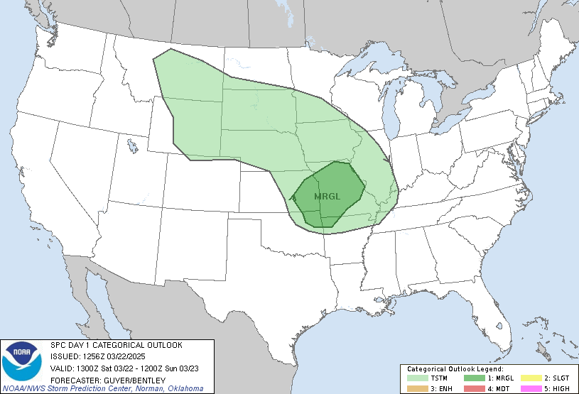
Throwing out words like "significant tornado outbreak" for the high risk area. It's unusual to see a 5/5 from the SPC, much less in January.
Posted on 1/22/17 at 9:07 am to Roll Tide Ravens
Large High Risk area for parts of SE Alabama, southern Georgia, and north Florida. PDS Watch coming soon for locations within that high risk area.
Tornado probabilities within 25 miles of a given point:
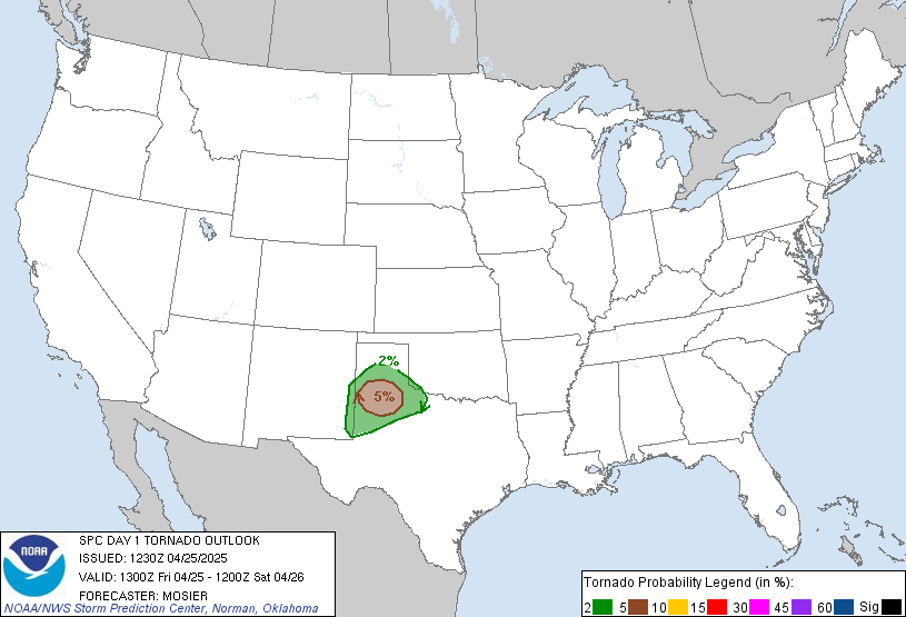
Tornado probabilities within 25 miles of a given point:
This post was edited on 1/22/17 at 9:09 am
Posted on 1/22/17 at 9:09 am to Roll Tide Ravens
Haha. I win.


Posted on 1/22/17 at 9:10 am to Duke
First high risk since 06/2014.
I read a stat that over the last 30 years, 42% of tornado deaths have occurred on days with a "high risk".
I read a stat that over the last 30 years, 42% of tornado deaths have occurred on days with a "high risk".
Posted on 1/22/17 at 9:11 am to Duke
quote:
Haha. I win.
Hahaha, well I added tornado probabilities, too.
So, I win.

Posted on 1/22/17 at 9:15 am to Roll Tide Ravens


Posted on 1/22/17 at 9:15 am to Roll Tide Ravens
11 people killed in Georgia overnight.
Posted on 1/22/17 at 9:22 am to Roll Tide Ravens
Fort Walton Beach area about to be slammed by this cell coming onshore.


Posted on 1/22/17 at 9:29 am to slackster
LINK
quote:
***Significant tornado outbreak expected today across north Florida and south Georgia*** ...Synopsis... An amplifying mid-upper trough over TX/OK this morning will continue eastward to MS/AL by this afternoon. The initial synoptic cyclone near Texarkana will likely be replaced by cyclogenesis today at the triple point of the effective warm front across southern AL, and the eastward-surging cold front/trough from LA/MS. This new cyclone will deepen and move north-northeastward today across AL/GA in association with the strong height falls/ascent within the exit region of a 100-130 kt mid-upper jet. Likewise, very strong deep-layer tropospheric flow is expected within the warm sector, where boundary layer dewpoints in the 65-70 F range and a lingering steep lapse rate plume will support moderate buoyancy. The net result of these factors will be the potential for a significant tornado episode today across north FL into south GA. ...AL/FL/GA today to the Carolinas this evening/tonight... A broken band of severe storms that formed overnight persists this morning across south GA. This convective band was associated with low-level warm advection, as well as an ejecting midlevel trough that is now over north GA and east TN. It is not clear if this convection will weaken this morning, or if it will persist until new thunderstorms begin to form farther to the west across south AL and the FL Panhandle. Regardless the boundary should begin to move northward by midday as cyclogenesis proceeds across AL. Likewise, as the synoptic midlevel trough approaches from the west, strengthening vertical shear is expected within the unstable warm sector. Observational data confirm the most important aspects of the thermodynamic and kinematic profiles, thus confidence is high in the unusual combination of ingredients today. Forecast soundings suggest the potential for MLCAPE of 1000-1500 J/kg, with effective bulk shear in excess of 70 kt, and effective SRH in excess of 300-400 m2/s2. The orientation of deep-layer shear vectors across the cold front/trough will favor broken bands of tornadic supercells. Aside from the ongoing storms across south GA, the severe/tornado risk will likely ramp up again later this morning across south AL and the FL Panhandle along the residual rain-cooled boundary/warm front, and then spread east-northeastward across north FL and GA through the day. Long-tracked, strong tornadoes will be possible with fast moving supercells, in addition to damaging winds and large hail. The severe/tornado risk will spread northeastward into the Carolinas this evening as the cyclone deepens and moves northeastward to the southern Appalachians. There are some concerns regarding the degree of near-surface destabilization with northeastward extent into the Carolinas. However, very strong low-level shear would favor maintenance of any supercells that mature a bit farther southwest in the warm sector, with the risk for tornadoes persisting after dark into SC and perhaps southern NC. Farther south, the band of storms with the cold front will reach south FL overnight, with a continued risk for damaging winds and a couple of tornadoes.
Posted on 1/22/17 at 9:31 am to slackster
Probably a nice waterspout with that storm coming on shore near Destin.
This post was edited on 1/22/17 at 9:32 am
Posted on 1/22/17 at 9:34 am to Roll Tide Ravens
Not seeing any rotation with that one but some strong straight line winds on the ole velocity.
Those will be cells to watch through the afternoon as they come off the gulf.
Those will be cells to watch through the afternoon as they come off the gulf.

Posted on 1/22/17 at 9:38 am to East Coast Band
Sure helps this amateur to have the 2000-term NWS Glossary open in another tab while reading all of this.
Posted on 1/22/17 at 9:43 am to DoctorTechnical
No need for all that, though I understand the need.
It's all really fancy ways to say air is moving up and air is spinning. It'll be spinning and rising the most around these parts.
It's all really fancy ways to say air is moving up and air is spinning. It'll be spinning and rising the most around these parts.
Posted on 1/22/17 at 10:09 am to Duke
Nearly 5 million people covered by the High Risk today.
Posted on 1/22/17 at 10:21 am to rds dc
As the current band of storms lift north today a broken line of tornado producing thunderstorms will push across Tallahassee, Gainesville and Jacksonville.

Posted on 1/22/17 at 10:49 am to rds dc
Some things that are probably only interesting to me and maybe a few others, the current surface low is already down to 996mb and is forecast to rapidly deepen to around 975 by later today.

This will usher in an extremely rare airmass for this time of year over the High Risk area. From the latest SPC discussion:

Models are showing widespread areas with the potential to go beyond EHI of 4, the red line is EHI of 2.
This will usher in an extremely rare airmass for this time of year over the High Risk area. From the latest SPC discussion:
quote:
Very long, curved hodographs yielding 400-600 m2/s2 of effective SRH, combined with MLCAPE around 500-1250 J/kg, will support the potential for long-track, fast-moving, strong tornadoes.
Models are showing widespread areas with the potential to go beyond EHI of 4, the red line is EHI of 2.
This post was edited on 1/22/17 at 10:59 am

 Page 18 of 27

Popular
Back to top
 Follow TigerDroppings for LSU Football News