- My Forums
- Tiger Rant
- LSU Recruiting
- SEC Rant
- Saints Talk
- Pelicans Talk
- More Sports Board
- Fantasy Sports
- Golf Board
- Soccer Board
- O-T Lounge
- Tech Board
- Home/Garden Board
- Outdoor Board
- Health/Fitness Board
- Movie/TV Board
- Book Board
- Music Board
- Political Talk
- Money Talk
- Fark Board
- Gaming Board
- Travel Board
- Food/Drink Board
- Ticket Exchange
- TD Help Board
Customize My Forums- View All Forums
- Show Left Links
- Topic Sort Options
- Trending Topics
- Recent Topics
- Active Topics
Started By
Message
re: Severe weather threat continues today for parts of the southeast - Threat is Over.
Posted on 3/17/21 at 3:40 pm to Roll Tide Ravens

Posted on 3/17/21 at 3:40 pm to Roll Tide Ravens
This Tuscaloosa County into Jefferson County path is like a runway. You can count on at least one tornadic storm through that path in most severe weather events. It’s ridiculous.
This post was edited on 3/17/21 at 3:41 pm
 2
2

Posted on 3/17/21 at 3:42 pm to deltaland
I’m watching that one west of yazoo city. There’s nothing to hinder it anywhere close and it’s getting lots of energy.

Posted on 3/17/21 at 3:43 pm to deltaland
Twitter link to some damage in Tuscaloosa
Pretty large trees that were snapped a few feet off the ground.
Pretty large trees that were snapped a few feet off the ground.
Posted on 3/17/21 at 3:43 pm to deltaland

We're almost in the center of the low.

Posted on 3/17/21 at 3:43 pm to East Coast Band
quote:Maybe not, but in my mind it calls attention to the importance of the ongoing event for people who wouldn't read weather threads but might actually benefit from this one. It's also updating quickly, so people are checking it more frequently. It helps those people find it more quickly. Of course keeping a tab open and refreshing the thread would solve that problem.
If you get frequent enough replies, is a sticky needed?
Posted on 3/17/21 at 3:44 pm to Roll Tide Ravens
quote:
This Tuscaloosa County into Jefferson County path is like a runway. You can count on at least one tornadic storm through that path in most severe weather events. It’s ridiculous.
More and more research is going to go into the "Classic Paths" around the Southeast, in particular. There are a few of them with plenty of analog data to work off of.

Posted on 3/17/21 at 3:44 pm to razorbackfan4life
Thanks for finally pinning thread.

Posted on 3/17/21 at 3:44 pm to dewster
More trees down on Rosser Road in Tuscaloosa

Posted on 3/17/21 at 3:44 pm to deltaland
quote:
I’m watching that one west of yazoo city.
For some reason Yazoo County seems to consistently get hammered by tornadoes.
Posted on 3/17/21 at 3:44 pm to LegendInMyMind
quote:
More and more research is going to go into the "Classic Paths" around the Southeast, in particular. There are a few of them with plenty of analog data to work off of.
It has to be one of the most tornado prone stretches in the country.
Posted on 3/17/21 at 3:45 pm to When in Rome
quote:
Of course keeping a tab open and refreshing the thread would solve that problem.
Hell, I haven't closed the thread in 3 or 4 hours.
Posted on 3/17/21 at 3:45 pm to LegendInMyMind
Stickied.
Posted on 3/17/21 at 3:45 pm to LegendInMyMind

Posted on 3/17/21 at 3:46 pm to MorbidTheClown
quote:
More trees down on Rosser Road in Tuscaloosa
More than trees...some roofing materials in there. I think that's the remnants of a house in the background.

Posted on 3/17/21 at 3:46 pm to When in Rome
quote:
Maybe not, but in my mind it calls attention to the importance of the ongoing event for people who wouldn't read weather threads but might actually benefit from this one.
Yep. If I see a thread stickied then I know shite is getting real.
Posted on 3/17/21 at 3:46 pm to When in Rome
It is popping in Lafayette right now.
Posted on 3/17/21 at 3:46 pm to Roll Tide Ravens
quote:
It has to be one of the most tornado prone stretches in the country.
It is. Then, you have the path right through Tanner. Remember Tanner took direct hits in 1974 and April 27. Multiple, in 1974. It is similar to the path you're talking about.
Posted on 3/17/21 at 3:46 pm to When in Rome
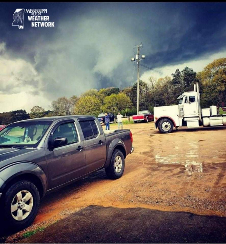
From earlier storm in Wayne County, MS. Near Hwy 84
Posted on 3/17/21 at 3:46 pm to Roll Tide Ravens
quote:
This Tuscaloosa County into Jefferson County path is like a runway. You can count on at least one tornadic storm through that path in most severe weather events. It’s ridiculous.
Yep, Tornado Alley. Several family members went to UA, and most of us live in Birmingham suburbs now. Been that way as long as I can remember.
For some reason, and I am very thankful, the terrain south of Birmingham means most of these storms don't spin off tornadoes. You'll see some north of BHM like today, and you'll see some south of BHM like in Chilton county and south Shelby county, but the over the mountain communities where we live seem to always dodge the tornadoes. We get straight line wind damage and plenty of old trees uprooting when the ground gets super saturated, but actual tornado damage isn't usually happening here.
Posted on 3/17/21 at 3:47 pm to dewster
quote:
I think that's the remnants of a house in the background.
looks like it. whoever tweeted that just mentioned trees

 Page 47 of 64

Popular
Back to top