




- My Forums
- Tiger Rant
- LSU Recruiting
- SEC Rant
- Saints Talk
- Pelicans Talk
- More Sports Board
- Fantasy Sports
- Golf Board
- Soccer Board
- O-T Lounge
- Tech Board
- Home/Garden Board
- Outdoor Board
- Health/Fitness Board
- Movie/TV Board
- Book Board
- Music Board
- Political Talk
- Money Talk
- Fark Board
- Gaming Board
- Travel Board
- Food/Drink Board
- Ticket Exchange
- TD Help Board
Customize My Forums- View All Forums
- Show Left Links
- Topic Sort Options
- Trending Topics
- Recent Topics
- Active Topics
Started By
Message


 1
1

Posted on 3/4/20 at 10:22 am to 50_Tiger
Radar indicated TvX in those cells ahead of main feature. NCentral LA

Posted on 3/4/20 at 10:37 am to GEAUXT
quote:
Just looked at the radar around Jackson and it looks nasty
East of Jackson, MS in Rankin county and we just had quarter-sized hail for about 10 minutes.
Posted on 3/4/20 at 10:53 am to Paluka
That feature now east of KDGX radar has impressive inflow. Would not be shocked if straight line winds or tornado drops.
This post was edited on 3/4/20 at 10:54 am

Posted on 3/4/20 at 10:59 am to 50_Tiger
quote:
That feature now east of KDGX radar has impressive inflow. Would not be shocked if straight line winds or tornado drops.
The wind is certainly there. Got a 66 mph at 0.5 tilt and it's pretty close to the radar site. It's not well placed for a tornado, since those storms aren't going to be surface based. Hail and wind though has been there for a little while now.


Posted on 3/4/20 at 11:02 am to DVinBR
I was a little surprised it took this long to get posted. Also, "I'm driving from Baton Rouge to Ruston today will I be safe???!!!??" 

Posted on 3/4/20 at 11:03 am to red sox fan 13
at this rate it looks like baton rouge is going to dodge most of the "severe" stuff
Posted on 3/4/20 at 11:04 am to DVinBR

quote:
Mesoscale Discussion 0154
NWS Storm Prediction Center Norman OK
1050 AM CST Wed Mar 04 2020
Areas affected...Portions of far eastern Texas into central
Louisiana and central Mississippi
Concerning...Severe Thunderstorm Watch 42...43...
Valid 041650Z - 041845Z
The severe weather threat for Severe Thunderstorm Watch 42, 43
continues.
SUMMARY...The threat for a few damaging wind gusts and occasional
large hail will continue for the next few hours. Convective trends
will continue to be monitored for the need of additional watches
past WW 042/043 expiration time at 18Z.
DISCUSSION...A 500 mb cutoff low and subsequent modest upper-level
support will gradually drift eastward across TX this afternoon. In
response, strong 850-700 mb WAA has promoted both deep-layer ascent
and elevated buoyancy (1000+ J/kg MUCAPE per 16Z Mesoanalysis) to
support sustained elevated convection north of a quasi-stationary
surface baroclinic zone. Over the past few hours, a few areas of
organized, marginally severe hail-producing convection have been
noted, including elevated bowing segments in central MS and in the
Houston/Walker County TX vicinity. These storms are rooted along the
850 mb baroclinic zone, and given the approach of the upper-low and
constant feed of low-level moist/unstable air, these segments are
expected to continue for the next few hours. With strong deep-layer
shear also in place, these segments may also remain organized and
intense enough to promote isolated damaging wind gusts as well as
marginally severe hail. In addition, strong low-level shear (200+
m2/s2 effective SRH) coincides with an unstable surface airmass
along the surface baroclinic zone across portions of southern LA
into southern MS, and any storm that root in the boundary layer and
latch unto the boundary may produce a tornado.
Later into the afternoon though, the upper-low and associated
associated mid-level ascent will lag the eastward movement of the
WAA axis, suggesting a gradual west-to-east weakening trend in
convection, as supported by 12Z HREF and the latest 12Z HRRR runs.
As such, convective trends will continue to be monitored for the
need of additional watch issuance later this afternoon.

Posted on 3/4/20 at 11:10 am to The Boat
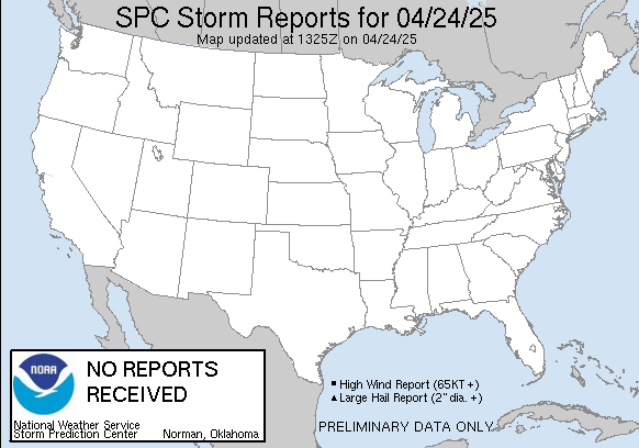 you got your wish
Posted on 3/4/20 at 11:30 am to angus1838
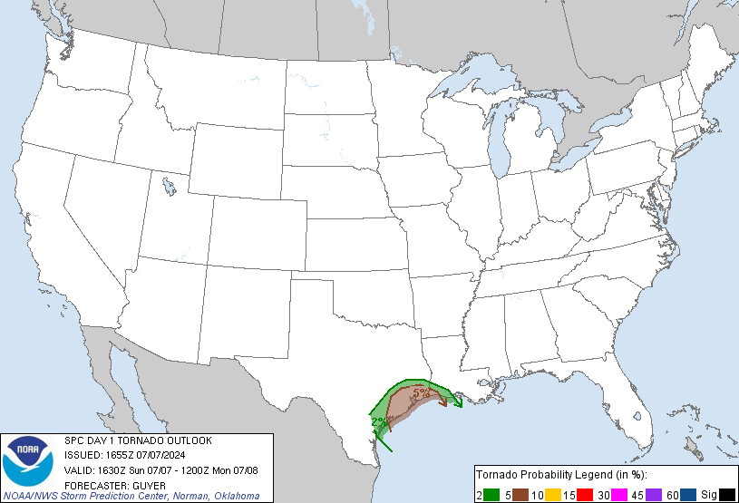
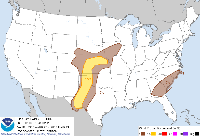
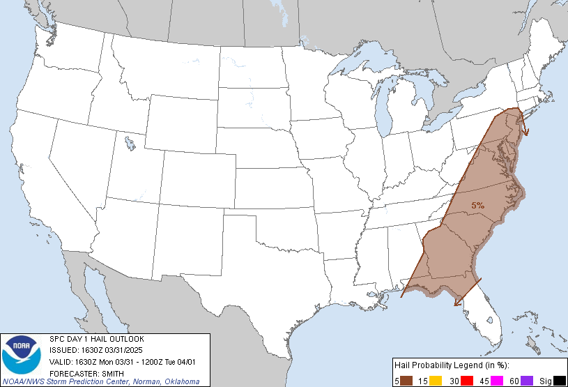
Updated outlooks
Tornado
Wind
Hail
Tornado
Wind
Hail


Posted on 3/4/20 at 11:40 am to NorthEndZone
Ouch.


Posted on 3/4/20 at 11:47 am to dukke v
Had some bad tstorms here in Bryan, TX this morning but theyre gone now and the suns peaking out. Work colleague is flying Hobby to Atlanta to Buffalo this afternoon, would not be fun flying through these storms.


Posted on 3/4/20 at 11:49 am to CuseTiger
Sever turbulence being reported throughout the southeast

Posted on 3/4/20 at 11:53 am to Paul Allen
quote:
Sever turbulence being reported throughout the southeast
Just finished a flight from SHV to ATL and I can confirm. It’s not what I’d call “severe” but not pleasant. Several catch your breath moments.
Posted on 3/4/20 at 11:55 am to 9Fiddy
Ugh sorry to hear that. Thankfully i'm headed up through Detroit tomorrow instead of ATL so will hopefully miss most of this.
Posted on 3/4/20 at 11:56 am to CuseTiger
I’m coming back through Atlanta tomorrow so I get the double dose.
Posted on 3/4/20 at 12:06 pm to Paul Allen
quote:
Sever turbulence being reported throughout the southeast
I just confirmed with my pilot..he's grounded until we leave for Parrot Cay tomorrow morning. Would you and Mrs. Allen like to hitch a ride?
Posted on 3/4/20 at 12:11 pm to 9Fiddy
quote:quote:
Sever turbulence being reported throughout the southeast
Just finished a flight from SHV to ATL and I can confirm. It’s not what I’d call “severe” but not pleasant. Several catch your breath moments.
a Louisiana Tech sports information director just posted this on social media
quote:
One of our players snapped this photo during our flight today. This was right before it went from bad to worse.
A small glimpse of the side people don’t see when it comes to student athletes and what they sometimes endure on the road traveling to represent.
I think this falls under “Other Duties as Not Assigned” on the job description.
In 21 years of flying with Tech teams, today’s flight from Shreveport to Houston was the worst I’ve ever experienced as far as level of turbulence (the plane actually dipped sideways at one point). Turbulence doesn’t bother me but this was brutal.
We have a lot of our SAs who hate to fly. If I experience too many more flights like today ... I will be right with them.
I was glad I could be of some comfort to her. Trust me it allowed me to focus on something besides the turbulence.
And it was just a good reminder that in the roughest times God has everything in control. Just thankful it was in His plan to let us land safely.
I don’t know the names of the pilots but kudos to them for doing a great job in tough conditions.


Posted on 3/4/20 at 12:11 pm to tgrbaitn08
Suburbs North of Jackson got jacked up last night. Several businesses were destroyed and many homes damaged.

Posted on 3/4/20 at 12:31 pm to NorthEndZone
I just need this armpit weather out of here and get the nice weather on board.
It's supposed to be mostly clear with highs near 70 through the weekend. It's going to be one of the 4-5 weeks in South Louisiana when the weather is perfect as we make the transition from cold and wet to hot and sticky.
It's supposed to be mostly clear with highs near 70 through the weekend. It's going to be one of the 4-5 weeks in South Louisiana when the weather is perfect as we make the transition from cold and wet to hot and sticky.

 Page 2 of 3

Popular
Back to top
 Follow TigerDroppings for LSU Football News