






 1
1









- My Forums
- Tiger Rant
- LSU Recruiting
- SEC Rant
- Saints Talk
- Pelicans Talk
- More Sports Board
- Fantasy Sports
- Golf Board
- Soccer Board
- O-T Lounge
- Tech Board
- Home/Garden Board
- Outdoor Board
- Health/Fitness Board
- Movie/TV Board
- Book Board
- Music Board
- Political Talk
- Money Talk
- Fark Board
- Gaming Board
- Travel Board
- Food/Drink Board
- Ticket Exchange
- TD Help Board
Customize My Forums- View All Forums
- Show Left Links
- Topic Sort Options
- Trending Topics
- Recent Topics
- Active Topics
Started By
Message
Posted on 4/17/19 at 9:21 am to TigerstuckinMS
Amazing we have progressed from freaking out in hurricane threads to weekly cold front thunderstorm threads.
Posted on 4/17/19 at 9:26 am to Duke
quote:
Hatched area in the OP
Well, we're fricked.

Posted on 4/17/19 at 9:27 am to TH03
quote:
Well, we're fricked.
Just hoping it doesnt sound like im in the middle of the Vietnam War later on tonight.
Posted on 4/17/19 at 9:31 am to TH03
The big hailer cells may or may not pop over the Dallas area. NWS there notes they've got it a 60% chance for the area.
It's more you're bent over in a vulnerable position than proper fricked at this point.
It's more you're bent over in a vulnerable position than proper fricked at this point.
Posted on 4/17/19 at 9:33 am to 50_Tiger
quote:
ust hoping it doesnt sound like im in the middle of the Vietnam War later on tonight.

Posted on 4/17/19 at 9:42 am to NorthEndZone
This one is being hyped up. I cleared out my side of the garage early this am to make room for my truck. Not about to play with this golf ball sized hail BS.
Posted on 4/17/19 at 9:43 am to Cosmo
quote:
Amazing we have progressed from freaking out in hurricane threads to weekly cold front thunderstorm threads.
The only thing amazing is that you have to pop into every weather thread to be a dumbass.

Posted on 4/17/19 at 9:53 am to NorthEndZone
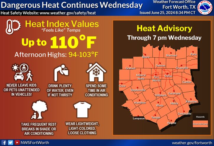
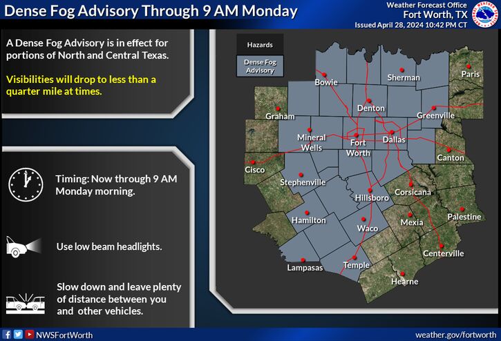
This post was edited on 4/17/19 at 10:12 am
Posted on 4/17/19 at 10:09 am to NorthEndZone
Timing? Supposed to drive from Alexandria to Nola tomorrow afternoon.
Posted on 4/17/19 at 10:12 am to TigerGrl73
The good news is you're leaving Ellick. The bad news is you're going to Nola.
Can't help you with the weather.
Can't help you with the weather.
Posted on 4/17/19 at 10:12 am to TigerGrl73

Posted on 4/17/19 at 10:20 am to NorthEndZone
probably will be a big windy squall line with no big issues unless you are unlucky and get hit with a macro/micro-burst or an isolated embedded small tornado, i only really care about discrete supercell storms
This post was edited on 4/17/19 at 10:22 am
Posted on 4/17/19 at 10:24 am to DVinBR
but this event could end up being worse than the "moderate" risk last weekend
Posted on 4/17/19 at 10:34 am to DVinBR
quote:
but this event could end up being worse than the "moderate" risk last weekend
The worst tornadoes last weekend occurred in the enhanced risk area.
It’s all about the timing and whether or not clusters of storms take the energy out of the air
Posted on 4/17/19 at 10:42 am to deltaland
quote:
It’s all about the timing and whether or not clusters of storms take the energy out of the air
which thankfully they did over most of CenLA
CenLA was supposed to be ground zero for tornado potential on Saturday... but those small cluster of storms took all the energy out of the air and there was only 1 tornado warning that I remember for the CenLA area (which I was inside of... though I was on the edge of and got clipped by the SE edge of the warned cell)
Posted on 4/17/19 at 10:51 am to NorthEndZone
South Texas has had 3 days of 25-30 mph winds with high humidity. That's a lotof energy feeding into the forcast for east texas, louisana
Posted on 4/17/19 at 10:53 am to NorthEndZone
I really wish I could block threads here 
This post was edited on 4/17/19 at 10:56 am
Posted on 4/17/19 at 11:31 am to DVinBR
quote:
probably will be a big windy squall line with no big issues unless you are unlucky and get hit with a macro/micro-burst or an isolated embedded small tornado, i only really care about discrete supercell storms
Unfortunately it looks like that's what we'll see in the enhanced area tomorrow...

Posted on 4/17/19 at 11:35 am to slackster
what the time stamp on that image slackster

 Page 5 of 69


Popular
Back to top
 Follow TigerDroppings for LSU Football News