




 1
1









- My Forums
- Tiger Rant
- LSU Recruiting
- SEC Rant
- Saints Talk
- Pelicans Talk
- More Sports Board
- Fantasy Sports
- Golf Board
- Soccer Board
- O-T Lounge
- Tech Board
- Home/Garden Board
- Outdoor Board
- Health/Fitness Board
- Movie/TV Board
- Book Board
- Music Board
- Political Talk
- Money Talk
- Fark Board
- Gaming Board
- Travel Board
- Food/Drink Board
- Ticket Exchange
- TD Help Board
Customize My Forums- View All Forums
- Show Left Links
- Topic Sort Options
- Trending Topics
- Recent Topics
- Active Topics
Started By
Message
re: Hurricane Isaias - Heading Towards the Central Gulf Coast
Posted on 10/8/26 at 10:17 am to Spocks Brain
Posted on 10/8/26 at 10:17 am to Spocks Brain
quote:
How on earth do they think they will have that football game in Tuscaloosa at 6:30 on Saturday evening. Looks like the storm only moves 150-200 miles in 12 hours- straight over Tuscaloosa
Well, it has got to be done!

Honestly…can you imagine the chaos with people trying to evacuate and that kind of shite?
Posted on 10/8/26 at 10:19 am to LivingstonLaw
quote:
Cruz in the coast on hwy 90 on MS Gulf Coast is still on as far as I know
Yea I'm going to Biloxi for something different this weekend and that's still on as well. Looks like they're all telling this hurricane to go frick itself.
Posted on 10/8/26 at 10:19 am to Roll Tide Ravens
I know the Windfinder app is probably not a great forecaster but the graphics on it's map are cool.
To me anyway.
To me anyway.
Posted on 10/8/26 at 10:20 am to jchamil
quote:
Trying to plan my drive from the Panhandle to Eutaw, AL. The storm path last I looked was basically my route
I drove through the “storm” in June from Atlanta to Louisiana and it was NOT a fun drive. I could barely see from roughly Birmingham to Hattiesburg.
Posted on 10/8/26 at 10:20 am to tilco
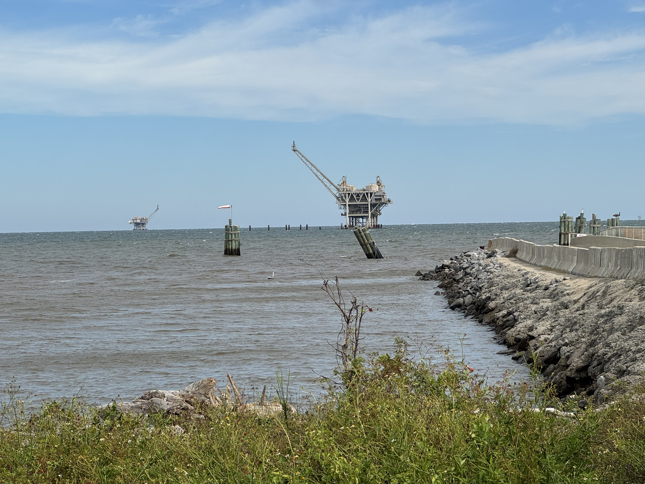
A good place to watch
Posted on 10/8/26 at 10:22 am to Roll Tide Ravens
Center of cone at landfall shift on this advisory was 6 miles east from previous advisory at 4 AM but is now about 9 miles west of the advisory at 10 PM last night.
The current track is across Perdido Key but with a ~15 mile wide eye, the whole area from about Gulf Shores to Gulf Breeze would potentially be in the eyewall.
Eye diameter can and probably will change over time and will determine where the worst surge will be and which areas will get a 'break' with the eye and which will miss the eye and always be in the eyewall (worst case).
The current track is across Perdido Key but with a ~15 mile wide eye, the whole area from about Gulf Shores to Gulf Breeze would potentially be in the eyewall.
Eye diameter can and probably will change over time and will determine where the worst surge will be and which areas will get a 'break' with the eye and which will miss the eye and always be in the eyewall (worst case).
Posted on 10/8/26 at 10:23 am to TDsngumbo
quote:
Looks like they're all telling this hurricane to go frick itself.
Hurricane got off easy
Posted on 10/8/26 at 10:24 am to Spankum
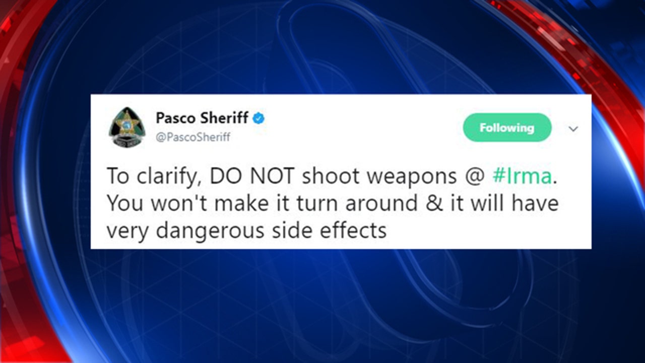
Increased 10s flight level winds found in SE eyewall of 84kt. Highest clocked yet.
Posted on 10/8/26 at 10:25 am to loogaroo
quote:
No way that game gets played in T-Town Saturday unless this storm goes poof.
They really want to play it on time I think, if there’s any type of feasible window to kickoff at 630 or even delay it that evening I think they play.
Posted on 10/8/26 at 10:26 am to NorthEndZone
quote:
Center of cone at landfall shift on this advisory was 6 miles east from previous advisory at 4 AM but is now about 9 miles west of the advisory at 10 PM last night. The current track is across Perdido Key but with a ~15 mile wide eye, the whole area from about Gulf Shores to Gulf Breeze would potentially be in the eyewall.
Like a drunk trying to make it home from the FloraBama to their condo at 2am this thing is going to wander a bit it sounds like.
Posted on 10/8/26 at 10:26 am to RummelTiger
quote:
It goes in waves when the storm is still a little ways out. Usually, when the updates come out, the conversation gets serious. During the lull in between runs, people go off the rails.
Always gets like this once the track gets basically solved. Details too far away to really figure out.
Plus, Ill note, Ive seen calls and calls for a storm update from people. I gave one in the middle, a small one granted, but no attention.
Call people idiots about climate change and got 20 upvotes/downvotes. Revealed preferences and what not.
Posted on 10/8/26 at 10:27 am to tide06
They should move the game to Nashville for an 11:00am kickoff
Posted on 10/8/26 at 10:27 am to Tigerdew
quote:
Nola meteorologist are starting to sound the alarm on this thing strengthening to a 3+ in the next 24hrs. It's going to go from rainmaker to violence quickly.
Godspeed to whoever gets this one on the chin.
They have expected this since the beginning. Then, shear will start to rip it apart. They're just acting like this is new news.
Posted on 10/8/26 at 10:28 am to loogaroo
quote:
No way that game gets played in T-Town Saturday unless this storm goes poof.
The weather itself will likely be improved by game time. Might be some lingering showers and wind, but probably nothing significant.
The question is whether there are wind spread power outages and trees down.
Posted on 10/8/26 at 10:28 am to LSU=Champions
quote:
This thread went from fun and informative to shite in a hand basket real quick.
first time??
Posted on 10/8/26 at 10:28 am to BPTiger
quote:
I drove through the “storm” in June from Atlanta to Louisiana and it was NOT a fun drive. I could barely see from roughly Birmingham to Hattiesburg.
Yeah figuring out logistics for Bama-UGA from 30A with this storm tracking up I65 Saturday AM is not looking fun.
Posted on 10/8/26 at 10:29 am to Roll Tide Ravens
New cone. Tropical storm watch expanded well inland on this advisory.

Posted on 10/8/26 at 10:29 am to LivingstonLaw
quote:
Cruz in the coast on hwy 90 on MS Gulf Coast is still on as far as I know
Dude on the local news here said it was still on, but they would be keeping constant tabs on the weather and would hold events until they have to stop (which looks like it will be tomorrow night. No mention of whether they will pick back up after the storm passes tomorrow night.
Posted on 10/8/26 at 10:30 am to tide06
quote:
Nola meteorologist are starting to sound the alarm on this thing strengthening to a 3+ in the next 24hrs. It's going to go from rainmaker to violence quickly.
Godspeed to whoever gets this one on the chin.
Opel took basically the same route back in the 1990s. As far as Montgomery (which is not that far from Tuscaloosa), they got 90 mph winds, massive power outages, and tornadoes.
It's supposed to go up that way Saturday morning. They're not playing this game Saturday night.
Posted on 10/8/26 at 10:30 am to rds dc
Does anyone know if they contra flow I-10 during hurricane evacuations? My daughter and mother are at a wedding in Orange Beach this evening and plan to get on the road back to Baton Rouge early in the morning. I know they will contra flow Baldwin Expressway, but wasn't sure if they would I-10 back toward Mobile.
Thanks
Thanks

 Page 94 of 114


Popular

Back to top
 Follow TigerDroppings for LSU Football News