- My Forums
- Tiger Rant
- LSU Recruiting
- SEC Rant
- Saints Talk
- Pelicans Talk
- More Sports Board
- Fantasy Sports
- Golf Board
- Soccer Board
- O-T Lounge
- Tech Board
- Home/Garden Board
- Outdoor Board
- Health/Fitness Board
- Movie/TV Board
- Book Board
- Music Board
- Political Talk
- Money Talk
- Fark Board
- Gaming Board
- Travel Board
- Food/Drink Board
- Ticket Exchange
- TD Help Board
Customize My Forums- View All Forums
- Show Left Links
- Topic Sort Options
- Trending Topics
- Recent Topics
- Active Topics
Started By
Message
 1
1

Posted on 10/8/20 at 10:54 pm to Highway_Man
Hot boyzzzz

Posted on 10/8/20 at 10:54 pm to RadarTiger
8001
ETA: dammit, 8002
ETA: dammit, 8002
This post was edited on 10/8/20 at 10:55 pm
Posted on 10/8/20 at 10:54 pm to slackster
I thought about buying one — can you find a decent one on amazon or no?
Posted on 10/8/20 at 10:56 pm to LSUJML
The weather guy rescued it??? I never got to see it. Flipping channels.
Posted on 10/8/20 at 10:59 pm to LSUJML
Have you all seen they louisiana map the TWC uses right before the go to commerical break? It has the the employees/meteorologist faces with Stephanie Abrams face in the middle. It's looks like a race to see who can get to her first ??
Posted on 10/8/20 at 11:00 pm to rds dc

Mesoscale Precipitation Discussion 0812
NWS Weather Prediction Center College Park MD
1146 PM EDT Thu Oct 08 2020
Areas affected...South-Central LA...Southwest MS
Concerning...Heavy rainfall...Flash flooding possible
Valid 090345Z - 090730Z
SUMMARY...Heavy showers and thunderstorms reloading and locally
repeating over the same area may result in some isolated flash
flooding over the next few hours.
DISCUSSION...The latest GOES-16 IR satellite imagery shows a pool
of cooling convective tops over portions of south-central LA and
southwest MS in association with an expanding cluster of heavy
showers and thunderstorms.
The activity is focused generally north of a quasi-stationary
frontal zone and within a pool of modest elevated instability.
MUCAPE values are on the order of 500 to 1000 j/kg. However, the
convection is also being aided by rather strong 850/925 mb
convergence/forcing and the nose of a very moist southeast
low-level jet of 30 to 40 kts around the far northeastern flank of
Hurricane Delta over the west-central Gulf of Mexico. The added
low-level jet is favoring rather robust warm-air
advection/isentropic ascent over south-central LA and southwest
MS, and lift is being further accentuated by the proximity of
right entrance region upper-jet dynamics ahead of an upper trough
over the southern Plains.
Overall, the 00Z hires model suite is not doing a particularly
good job with the current axis of convection, and there is
disagreement on how long the current activity will be maintained.
However, with cloud tops steadily cooling over the last hour and
the coverage increasing, it would appear that the ongoing
convection should generally be maintain at least for the next few
hours, and it is feasible it may last longer into the night as the
low-level flow around the northern flank of Delta gradually
strengthens and interacts with the aforementioned stationary front.
PWs are already on the order of 2.2 to 2.3 inches, and rainfall
rates have locally been 1 to 2+ inches/hr. Expect an additional 3
to 4 inches of rain to be possible going through 06Z as some of
the storm cells tend to repeat over the same area near and to the
north of the front. Given the set-up, at least an isolated concern
for flash flooding will exist over the next few hours. Will
continue to closely monitor.
Orrison
Posted on 10/8/20 at 11:02 pm to VermilionTiger
quote:
DaCurvLounge
Midget capital of the world

Posted on 10/8/20 at 11:03 pm to rds dc
Tell me more about entrance regions and how they produce heavy moisture.
Posted on 10/8/20 at 11:03 pm to rds dc
All this rain in EBR and surrounding areas will not be good for all the winds expected tomorrow.


Posted on 10/8/20 at 11:05 pm to rds dc

Posted on 10/8/20 at 11:06 pm to MrCoachKlein
quote:
Midget capital of the world
You know, shitting on Cajuns is hate speech

Posted on 10/8/20 at 11:07 pm to LSUJuice
Things tend to get wet around the entrance region in my experience.

Posted on 10/8/20 at 11:07 pm to pistolpete23
11:06 Central rain gauge update
3.85”
3.85”
Posted on 10/8/20 at 11:07 pm to tiger91
quote:
can you find a decent one on amazon or no?
I'm not even sure what we're discussing but the answer is yes.
Posted on 10/8/20 at 11:09 pm to slackster
Anemometer
Posted on 10/8/20 at 11:10 pm to pistolpete23
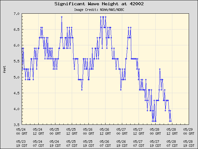
Update: West Gulf Buoy is in northern eyewall...34 foot significant wave height...

Posted on 10/8/20 at 11:10 pm to pistolpete23
delta is all over the place
Posted on 10/8/20 at 11:12 pm to LSUJuice
quote:
Tell me more about entrance regions and how they produce heavy moisture.


 Page 401 of 601

Popular
Back to top