- My Forums
- Tiger Rant
- LSU Recruiting
- SEC Rant
- Saints Talk
- Pelicans Talk
- More Sports Board
- Fantasy Sports
- Golf Board
- Soccer Board
- O-T Lounge
- Tech Board
- Home/Garden Board
- Outdoor Board
- Health/Fitness Board
- Movie/TV Board
- Book Board
- Music Board
- Political Talk
- Money Talk
- Fark Board
- Gaming Board
- Travel Board
- Food/Drink Board
- Ticket Exchange
- TD Help Board
Customize My Forums- View All Forums
- Show Left Links
- Topic Sort Options
- Trending Topics
- Recent Topics
- Active Topics
Started By
Message
re: Hurricane Florence - Catastrophic Flooding Potential
Posted on 9/9/18 at 9:10 am to Bayou_Tiger_225
Posted on 9/9/18 at 9:10 am to Bayou_Tiger_225
Hurricane Hunters are penetrating Florence (  ) right now
should start receiving data soon
should start receiving data soon
This post was edited on 9/9/18 at 9:11 am
 1
1

Posted on 9/9/18 at 9:22 am to rt3
Not even into the eye and pressure's already down to 989 mb at flight level... which is what the official pressure was listed as in the last NHC update
Posted on 9/9/18 at 9:40 am to rt3
first eye drop... 985 mb at the surface
Posted on 9/9/18 at 9:41 am to rt3
I think Florence may be a hurricane
NE eyewall drop found 67 kt (~77.1 mph) winds at the surface
ETA: yep... Florenve upgraded back to a hurricane... officially 75 mph winds
NE eyewall drop found 67 kt (~77.1 mph) winds at the surface
ETA: yep... Florenve upgraded back to a hurricane... officially 75 mph winds
This post was edited on 9/9/18 at 11:13 am
Posted on 9/9/18 at 9:50 am to rt3
quote:
first eye drop... 985 mb at the surface
Down to 24.34N 56.17W, this is when most of the models have it start lifting north. The next two fixes will be interesting to see if that lift will start on time or not.

Posted on 9/9/18 at 9:51 am to rt3
Florence upgraded to Hurricane Florence.

This post was edited on 9/9/18 at 9:52 am
Posted on 9/9/18 at 9:54 am to TheGasMan
quote:
From a geologic stand point, they're basically the same. Retrograding progressive barrier islands. The Outerbanks are wave dominated barriers. In other words they're thin sediment packages that migrate towards the shore due to island roll back (essentially storms wash sand over into the marsh into washover fans). There isn't anything substantial really to hold them in place like you have with your classic drum stick prograding barrier islands in the tidal and meso-tidal dominated regions of SC and GA.
Many of the current breaks between the islands in the outer banks are the result of hurricanes over the last 200-300 years. Florence will breach the islands somewhere and most likely result in a new inlet forming somewhere between Cape Lookout and Cape Hatteras.
^Why I love the OT.

Posted on 9/9/18 at 9:57 am to slackster
quote:
^Why I love the OT.
Yep, got my answer. Thanks to all.

Posted on 9/9/18 at 10:02 am to TheGasMan
quote:
From a geologic stand point, they're basically the same. Retrograding progressive barrier islands. The Outerbanks are wave dominated barriers. In other words they're thin sediment packages that migrate towards the shore due to island roll back (essentially storms wash sand over into the marsh into washover fans). There isn't anything substantial really to hold them in place like you have with your classic drum stick prograding barrier islands in the tidal and meso-tidal dominated regions of SC and GA. Many of the current breaks between the islands in the outer banks are the result of hurricanes over the last 200-300 years. Florence will breach the islands somewhere and most likely result in a new inlet forming somewhere between Cape Lookout and Cape Hatteras.

Posted on 9/9/18 at 10:04 am to Roll Tide Ravens
What model does the NHC uses for their tracking? I've always heard the European model is the most accurate model? Can someone school me up on these tracking models? TIA.

Posted on 9/9/18 at 10:06 am to East Coast Band
quote:
Yep, got my answer. Thanks to all.
My masters thesis revolved around Pleistocene shoreline reconstruction, paleo-channeling, and barrier island/inlet dynamics in the South Atlantic Bight (NC, SC, GA, and FL) You asked the right question at the right time

Posted on 9/9/18 at 10:13 am to CobraCommander83
Read the forecast discussion on the NHC florence page. They usually discuss which model they lean on, but it's usually a blend.
Posted on 9/9/18 at 10:15 am to CobraCommander83
quote:
What model does the NHC uses for their tracking? I've always heard the European model is the most accurate model? Can someone school me up on these tracking models? TIA.
The NHC is often a blend of the models, but they'll err towards a particular model if it's handled the storm well through its life thus far.
Their discussions every 6 hours do a pretty good job explaining their logic:
quote:
Florence continues moving slowly westward, caught between a pair of mid-level ridges over the Atlantic Ocean. A very strong ridge is forecast to build over the northwestern Atlantic during the next few days, which should steer Florence west-northwestward at a much faster forward speed. By Wednesday, the hurricane should turn northwestward, and slow down somewhat due to another ridge forming over the Ohio Valley. It is interesting to note that while the ensemble means from the ECMWF and UKMET are west of the NHC forecast, the strongest members are on the right side of their ensemble envelope. Thus, the new NHC track forecast is very similar to the previous one, and continues to lie between the corrected consensus and consensus aids. The Ohio Valley ridge is concerning because Florence could stop moving pretty quickly around day 5, potentially leading to a serious heavy rain episode and inland flood hazard.
Posted on 9/9/18 at 10:16 am to CobraCommander83
quote:
What model does the NHC uses for their tracking?
They don't us an individual model but the NHC tracks are usually pretty close to the consensus tracks. In the discussions they will often talk about what models they favor and why and why they are discounting certain models.
quote:
I've always heard the European model is the most accurate model?
It is widely regarded as the best model but even it has huge errors as you get farther out in time. The NHC official track error is typically less than the Euro.
Posted on 9/9/18 at 10:23 am to TheGasMan
quote:
My masters thesis revolved around Pleistocene shoreline reconstruction, paleo-channeling, and barrier island/inlet dynamics in the South Atlantic Bight (NC, SC, GA, and FL) You asked the right question at the right time
In that case, I have another question for you - is the southeastern coast of the US shaped the way it is due to hurricanes?

So many storms recurve in a way that is very similar to the shape of the coast from Florida to NC. This may be a chicken and egg question though - is the coast shaped that way due to storms or do storms recurve that way due to the land?
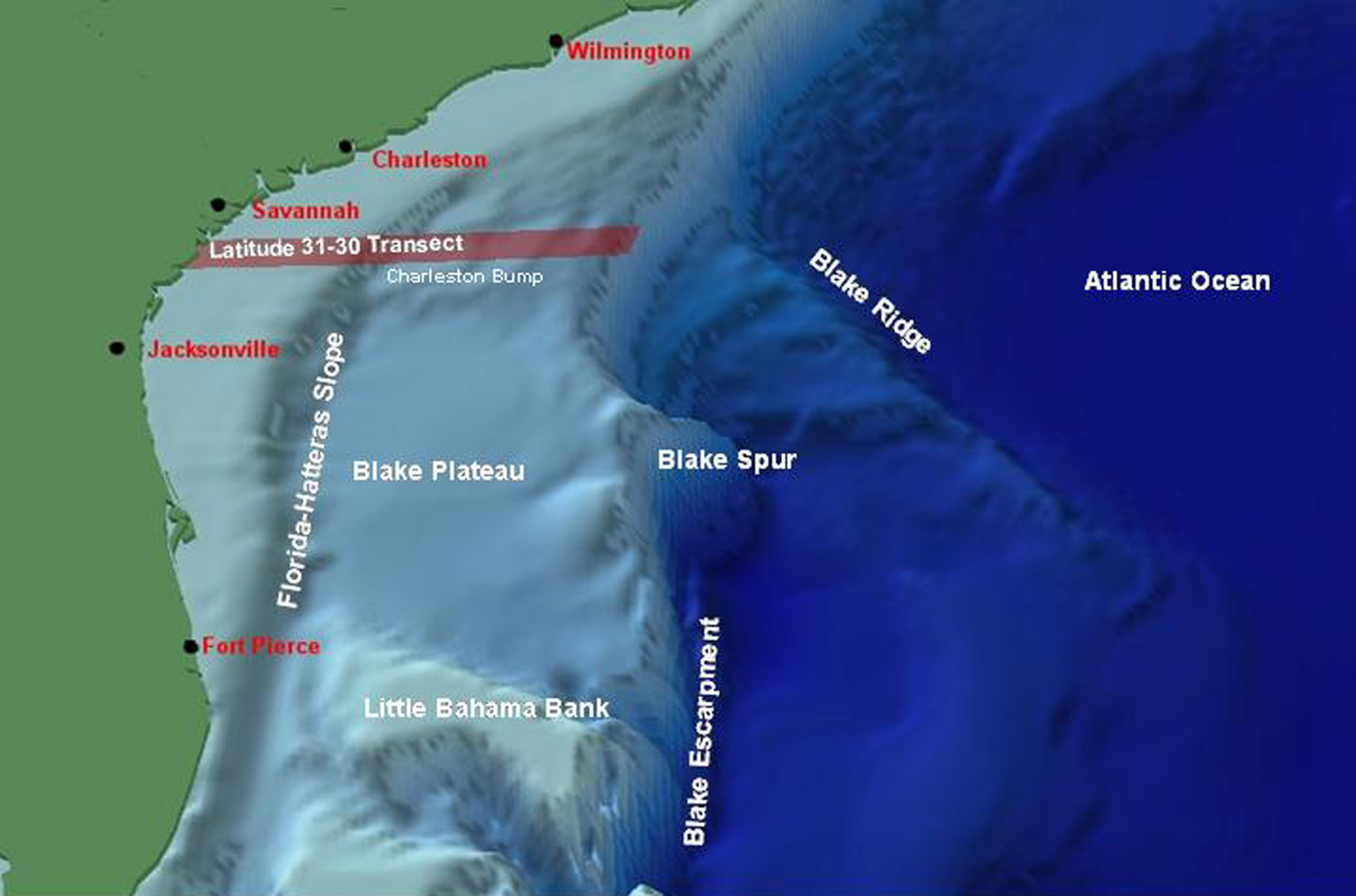
The continental shelf is very narrow off the tip of Florida and Virginia, which lends some credence to the idea the land has been carved back due to storms.
Posted on 9/9/18 at 10:29 am to CobraCommander83
A combination of all models. That's why the margin of error is so big. It shrinks when they all come into more general agreement. They don't look at a single computer model and forecast.
Posted on 9/9/18 at 10:32 am to slackster

This post was edited on 9/9/18 at 10:33 am
Posted on 9/9/18 at 10:35 am to slackster
quote:
is the southeastern coast of the US shaped the way it is due to hurricanes?
Posted on 9/9/18 at 10:40 am to deuce985
quote:
A combination of all models. That's why the margin of error is so big. It shrinks when they all come into more general agreement. They don't look at a single computer model and forecast.
Just to be clear, the cone does not represent the NHC's confidence in a particular forecast. They arrive at the cone by taking the forecasted center at 12, 24, 36, 48, 72, 96, and 120 hours, then drawing a circle with a radius of 26, 43, 56, 74, 103, 151, and 198 nautical miles around those forecasted center predictions. Those distances are derived from the average track errors over the previous 5 hurricane seasons, and they represent one standard deviation of error.
In other words, the cone is actually 7 circles that represent where the center has been 2/3rds of the time over the past 5 years.
Link to a good article explaining it
Posted on 9/9/18 at 11:05 am to rt3
quote:
first eye drop... 985 mb at the surface
second eye drop... about 67 minutes after the first...
984 mb
could pressure dropping a mb an hour show potential RI?
ETA: also the storm's movements between those 2 eye drops was 0.0 N 0.2 W
This post was edited on 9/9/18 at 11:07 am

 Page 116 of 400

Popular
Back to top