- My Forums
- Tiger Rant
- LSU Recruiting
- SEC Rant
- Saints Talk
- Pelicans Talk
- More Sports Board
- Fantasy Sports
- Golf Board
- Soccer Board
- O-T Lounge
- Tech Board
- Home/Garden Board
- Outdoor Board
- Health/Fitness Board
- Movie/TV Board
- Book Board
- Music Board
- Political Talk
- Money Talk
- Fark Board
- Gaming Board
- Travel Board
- Food/Drink Board
- Ticket Exchange
- TD Help Board
Customize My Forums- View All Forums
- Show Left Links
- Topic Sort Options
- Trending Topics
- Recent Topics
- Active Topics
Started By
Message
 1
1


Posted on 10/6/16 at 3:25 pm to UAinSOUTHAL
That radar makes it look like it's tracking a little more to the east, doesn't it?
Posted on 10/6/16 at 3:26 pm to bluemoons
quote:
That radar makes it look like it's tracking a little more to the east, doesn't it?
Not the overall storm though, at least not at this moment.

Posted on 10/6/16 at 3:28 pm to Chatagnier
quote:Got it!
Zoom in on sand there's a hidden message.


Posted on 10/6/16 at 3:30 pm to HubbaBubba
Posted on 10/6/16 at 3:30 pm to slackster
It won't be going east any time soon.

East side of image. Watch how there is a western moving push from the dryer air. That's a ridge to my untrained eyes pushing the storm.
It's going to be wobbly, especially with this double eyewall situation. Watch the outer wall for direction and watch for trends. Wobbles are going to make everyone freak out tonight. It's a landfalling hurricane tradition.
Posted on 10/6/16 at 3:37 pm to Duke
I can see that this storm isn't going east at all, but make me wonder, where landfall is going to happen? Between Dayton and Jacksonville or Jacksonville to Savannah?

Posted on 10/6/16 at 3:37 pm to HubbaBubba

Posted on 10/6/16 at 3:43 pm to Penn
quote:
Jax crew
Just got to our place to wait the storm out, monument hills. Never been here before but we are literally on a hill in zone F. Our goal is to get back to our place as soon as the bridge is open at the beach.
Can you PM me or post a thread when you can get back? We want to go back Sat AM ASAP. Thanks

Posted on 10/6/16 at 3:45 pm to Tiger in NY
It's interesting how the inner eye wall wants to move more northward, but the overall storm wants to continue taking the NW track.
Posted on 10/6/16 at 3:45 pm to Tiger in NY
Will do, hoping to try around sunrise
Posted on 10/6/16 at 3:48 pm to Clyde Tipton
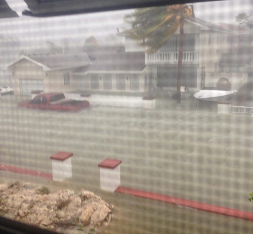
Looks like Matthew is starting to build up convection again around the north and northwest sides of the eye and stronger stuff is wrapping around from the east side of the storm too.


Posted on 10/6/16 at 3:50 pm to NorthEndZone
quote:
This damn storm is on the cruise ship route - Nassau to Freeport to Port Canaveral.
Probably going to be a lot of 3-4-5 day cruises going to Key west for the next several months

Posted on 10/6/16 at 3:56 pm to Jimmy2shoes
5pm

Posted on 10/6/16 at 3:57 pm to Jimmy2shoes
5 PM EDT Advisor out. No significant changes.

Posted on 10/6/16 at 3:58 pm to rds dc
Anyone have a map showing what projected winds in Gainesville would be during the worst of it?
Posted on 10/6/16 at 4:03 pm to TigerTatorTots
quote:
Nassau, Bahamas, October 6, 2016 – Harrowing reports coming out of Nassau as we are told that people in coastal areas are now crying for rescues, but that cannot happen and it means these individuals will have to figure out how to survive the onslaught of now category four hurricane Matthew with its 140 mph winds.
“We have reports of many people saying, oh come, homes have been compromised, the roofs blowing off or part of the roofs blowing off, and that sort of thing, and due to the high winds, medical rescue and teams were asked not to take the risk. The broad surge to all of the southern shores, I’m only getting reports from Yamacraw, Marshal Road, Harold Road, those roads in the south eastern end of New Providence, that’s where we getting calls coming in right now.” Trevor Basden
LINK
Posted on 10/6/16 at 4:08 pm to rds dc
Direct hit for Freeport.
Posted on 10/6/16 at 4:13 pm to TigerTatorTots
quote:
Anyone have a map showing what projected winds in Gainesville would be during the worst of it?
Not a map but the latest NWS forecast says 40 mph sustained with gusts to 56. That of course is subject to change based on actual track of storm.

Posted on 10/6/16 at 4:14 pm to CtotheVrzrbck
So far in West Palm Beach we have barely had any wind, just a couple of small squalls. But we are expecting to get slammed when it gets dark.

 Page 140 of 181

Popular
Back to top