- My Forums
- Tiger Rant
- LSU Recruiting
- SEC Rant
- Saints Talk
- Pelicans Talk
- More Sports Board
- Coaching Changes
- Fantasy Sports
- Golf Board
- Soccer Board
- O-T Lounge
- Tech Board
- Home/Garden Board
- Outdoor Board
- Health/Fitness Board
- Movie/TV Board
- Book Board
- Music Board
- Political Talk
- Money Talk
- Fark Board
- Gaming Board
- Travel Board
- Food/Drink Board
- Ticket Exchange
- TD Help Board
Customize My Forums- View All Forums
- Show Left Links
- Topic Sort Options
- Trending Topics
- Recent Topics
- Active Topics
Started By
Message
re: Severe weather threat continues today for parts of the southeast - Threat is Over.
Posted on 3/17/21 at 9:51 am to Roll Tide Ravens
Posted on 3/17/21 at 9:51 am to Roll Tide Ravens
quote:
Satellite imagery showing substantial clearing over central Mississippi. Not what we want to see.
:/
 2
2

Posted on 3/17/21 at 10:00 am to deltaland
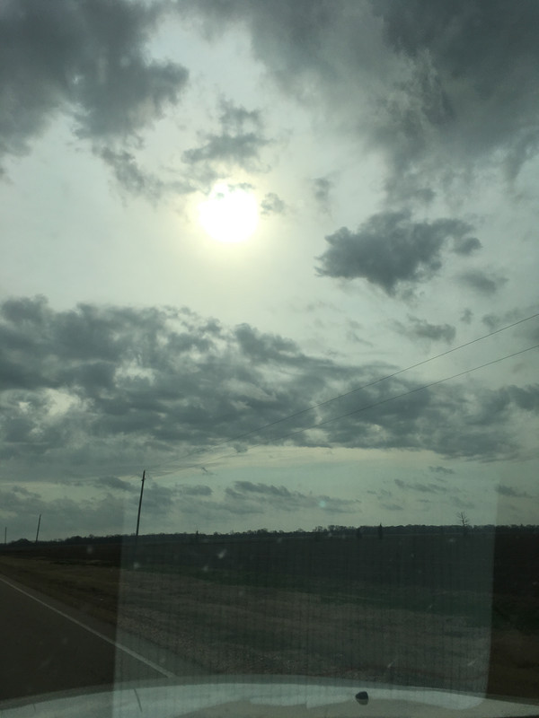
Just had a front go through Little Rock. This is the weirdest place ever for weather; it’s like hell is breaking loose all around Little Rock but we seem to escape the bad stuff. I guess the mountains and river break it up as it’s coming through.
Posted on 3/17/21 at 10:00 am to rds dc
Biggest concern right now would be the eastern portions of the High for open warm sector supercells. There appears to be a prefrontal trough that could the trigger.
Posted on 3/17/21 at 10:12 am to tigerbandpiccolo
Is that line of storms in central Arkansas the final storm line?
If so it’s getting pretty close to the high risk area and no discrete cells forming ahead of it yet. Seems if it’s gonna fire off it better hurry at least for the western portion of the high risk area
ETA it always seems rare to get discrete cells here. It always lines out over the delta while the cells form around Winona/Kosciusko in the hills ahead of the line. Maybe the flat land helps us?
This post was edited on 3/17/21 at 10:15 am
Posted on 3/17/21 at 10:14 am to TygerB8
Sunshine 

Posted on 3/17/21 at 10:14 am to rds dc
quote:
Biggest concern right now would be the eastern portions of the High for open warm sector supercells. There appears to be a prefrontal trough that could the trigger.


Posted on 3/17/21 at 10:20 am to TDTOM
quote:
Why didn't the sun go to college?
It already had a million degrees.

Posted on 3/17/21 at 10:24 am to deltaland
It looks like it’s not going to be that bad in Louisiana. The squall line is working its way through the state and there no cells forming yet. You can see them starting to fire in Mississippi and Alabama.
Posted on 3/17/21 at 10:27 am to The Boat
quote:
It looks like it’s not going to be that bad in Louisiana. The squall line is working its way through the state and there no cells forming yet. You can see them starting to fire in Mississippi and Alabama.
Hope not but it's one of those still, muggy days that seems to be a precursor.
Posted on 3/17/21 at 10:28 am to deltaland
I'm here in Madison, MS...I have always noticed that when big storms hit the river usually makes them intensifies depending on how warm it is. It is weird how the river affects storms that come through.
Posted on 3/17/21 at 10:29 am to The Boat
quote:
It looks like it’s not going to be that bad in Louisiana. The squall line is working its way through the state and there no cells forming yet. You can see them starting to fire in Mississippi and Alabama.
Meanwhile, back at mamma's.
Posted on 3/17/21 at 10:29 am to The Boat
Line just moved through Shreveport. Fairly run of the mill thunderstorm. Big gust as it got here and briefly rained like a mother fricker but already letting up.
Posted on 3/17/21 at 10:30 am to Jim Rockford
Sure but you can see the cells already peppering eastern Mississippi and western Alabama. We’ll see what happens but I was thinking they had the high risk area too far west. It should have been more centered on the Mississippi/Alabama border.
Posted on 3/17/21 at 10:33 am to Lsuhoohoo
Shreveport wasn’t really under the gun. The line of storms is just getting to the edge of the moderate area.
The high risk area will likely start firing up storms in the next hour or two
The high risk area will likely start firing up storms in the next hour or two
Posted on 3/17/21 at 10:36 am to The Boat
quote:
Sure but you can see the cells already peppering eastern Mississippi and western Alabama. We’ll see what happens but I was thinking they had the high risk area too far west. It should have been more centered on the Mississippi/Alabama border.
That’s how it usually plays out but they always hype western Ms but it rarely materializes. We will get bad storms when the front comes through but the discrete supercells are rare in the delta. Atmosphere is prime for it here but rarely occurs. I don’t know if it’s the Ms River or the flat land but cells just don’t spin up in the delta like they do in east MS
Posted on 3/17/21 at 10:41 am to deltaland
Seems that frontal boundary slowed way down. It came from Texas into Arkansas/LA pretty quick now it looks like it’s sat in same spot for an hour
Posted on 3/17/21 at 10:45 am to deltaland
Adair chiming in:

Posted on 3/17/21 at 10:46 am to deltaland
Up here in North AL, the morning round gave us close to 2" of rain and about 3 hours or so of continuous thunder. Had some wind, too.
Posted on 3/17/21 at 10:48 am to deltaland
I think we have a little more to look forward to but my weather app is showing the rain end around 1-2; and then a little rain tonight. I’m no expert but we didn’t get anything too bad. But that’s common, it always seems like it picks up steam as it moves east towards the delta. There really is some kind of atmospheric dome around Little Rock.

Posted on 3/17/21 at 10:48 am to deltaland
On future radar that line seems to expand and get more angry as it pushes through, south Louisiana. 
This post was edited on 3/17/21 at 10:51 am

 Page 23 of 64

Back to top