- My Forums
- Tiger Rant
- LSU Recruiting
- SEC Rant
- Saints Talk
- Pelicans Talk
- More Sports Board
- Fantasy Sports
- Golf Board
- Soccer Board
- O-T Lounge
- Tech Board
- Home/Garden Board
- Outdoor Board
- Health/Fitness Board
- Movie/TV Board
- Book Board
- Music Board
- Political Talk
- Money Talk
- Fark Board
- Gaming Board
- Travel Board
- Food/Drink Board
- Ticket Exchange
- TD Help Board
Customize My Forums- View All Forums
- Show Left Links
- Topic Sort Options
- Trending Topics
- Recent Topics
- Active Topics
Started By
Message
 1
1

Posted on 12/16/19 at 11:45 am to TigerstuckinMS
Don't know lead one is on the ground for sure.
Posted on 12/16/19 at 11:45 am to East Coast Band
Winnfield is sitting dead red for a nasty hook

Posted on 12/16/19 at 11:46 am to lsuman25
Impressive debris ball on the storm near Ft. Polk.

This post was edited on 12/16/19 at 11:47 am
Posted on 12/16/19 at 11:50 am to Roll Tide Ravens
that's got to be a major tornado by Ft. Polk
Posted on 12/16/19 at 11:51 am to Roll Tide Ravens
At about what time can we expect it to get ugly. If it will, near BR?
This post was edited on 12/16/19 at 11:54 am
Posted on 12/16/19 at 11:53 am to rt3
It formed right after it went over top of me. It was scary for about 15 minutes.
This post was edited on 12/16/19 at 11:53 am
Posted on 12/16/19 at 11:54 am to Roll Tide Ravens
quote:
Impressive debris ball on the storm near Ft. Polk.
You don't see images like that very often with Louisiana tornadoes. Wow.
Posted on 12/16/19 at 11:56 am to rt3
Reed Timmer is Facebook Live doing updates (not out chasing)
on the correlation coefficient model... the Ft. Polk tornado ... where reds and blues came together... there was some purple starting to show up
on the correlation coefficient model... the Ft. Polk tornado ... where reds and blues came together... there was some purple starting to show up
Posted on 12/16/19 at 11:57 am to rds dc
quote:i don't see anything but a hook in his 2 pics. Mind explaining to those of us that are ignorant on this subject?
Impressive debris ball on the storm near Ft. Polk.
You don't see images like that very often with Louisiana tornadoes. Wow.
Posted on 12/16/19 at 11:58 am to rds dc
Timmer saying Winnfield should be seeing some RFD right now
Posted on 12/16/19 at 11:58 am to rds dc
143mph gate-to-gate shear over Winnfield.
Posted on 12/16/19 at 11:59 am to Bedhog
quote:
i don't see anything but a hook in his 2 pics. Mind explaining to those of us that are ignorant on this subject?
If you look at the hook in the top of the image I posted, you will see a ball of higher reflectivity at the bottom of the hook. This is known as a debris ball, because it is caused by the radar beam bouncing off the debris that is being lofted into the air by the tornado. It is a good indicator that you have a strong tornado on the ground.
Posted on 12/16/19 at 12:00 pm to Roll Tide Ravens
I see it in this pic.

Posted on 12/16/19 at 12:02 pm to Bedhog
oh shite... the DeRidder/Ft. Polk storms... if they stay together they could head up my way in Alexandria
Posted on 12/16/19 at 12:05 pm to rt3
storm that just left Winnfield may be putting down a tornado
Posted on 12/16/19 at 12:05 pm to Bedhog
That’s just the circulation on the velocity (the rotating winds). To see debris, you need to look at reflectivity or correlation coefficient.
Posted on 12/16/19 at 12:06 pm to MrLarson
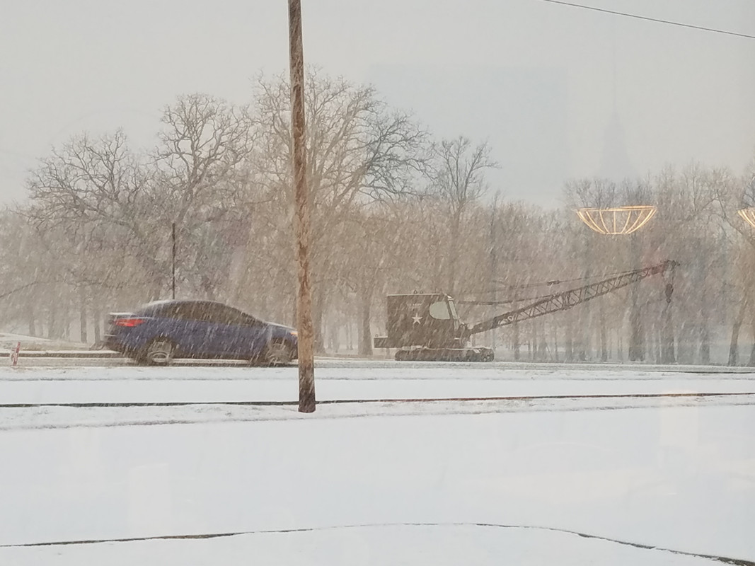
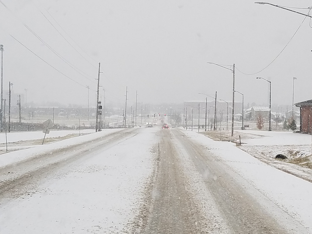
Its a snow day in Fort Leonard Wood, MO.
Posted on 12/16/19 at 12:06 pm to Roll Tide Ravens
The amazing thing about radar advancements over the past few years is that it doesn't even take a large or strong tornado to show a debris signature. I've noticed smaller and smaller tornados producing the signature over the past few years. Radar is so good these days, and is continuing to improve.
Posted on 12/16/19 at 12:07 pm to Roll Tide Ravens
boy i could go for some large hail...... need new roof and tahoe needs a new paint job.

 Page 5 of 23

Popular
Back to top