- My Forums
- Tiger Rant
- LSU Recruiting
- SEC Rant
- Saints Talk
- Pelicans Talk
- More Sports Board
- Fantasy Sports
- Golf Board
- Soccer Board
- O-T Lounge
- Tech Board
- Home/Garden Board
- Outdoor Board
- Health/Fitness Board
- Movie/TV Board
- Book Board
- Music Board
- Political Talk
- Money Talk
- Fark Board
- Gaming Board
- Travel Board
- Food/Drink Board
- Ticket Exchange
- TD Help Board
Customize My Forums- View All Forums
- Show Left Links
- Topic Sort Options
- Trending Topics
- Recent Topics
- Active Topics
Started By
Message
re: Hurricane Nate - Moving Inland - Hurricane Season Over?
Posted on 10/7/17 at 3:59 am to CorkSoaker

Posted on 10/7/17 at 3:59 am to CorkSoaker
Hurricane Nate Advisory Number 12
NWS National Hurricane Center Miami FL AL162017
400 AM CDT Sat Oct 07 2017
...HURRICANE NATE CONTINUES MOVING RAPIDLY OVER THE CENTRAL GULF
OF MEXICO...
SUMMARY OF 400 AM CDT...0900 UTC...INFORMATION
----------------------------------------------
LOCATION...24.5N 87.0W
ABOUT 345 MI...550 KM SSE OF THE MOUTH OF THE MISSISSIPPI RIVER
MAXIMUM SUSTAINED WINDS...80 MPH...130 KM/H
PRESENT MOVEMENT...NNW OR 340 DEGREES AT 22 MPH...35 KM/H
MINIMUM CENTRAL PRESSURE...987 MB...29.15 INCHES
 1
1

Posted on 10/7/17 at 4:00 am to GEAUXmedic
Hurricane Nate Discussion Number 12
NWS National Hurricane Center Miami FL AL162017
400 AM CDT Sat Oct 07 2017
An Air Force reconnaissance plane investigated Nate a couple of
hours ago and measured peak flight-level winds of 89 kt at 850 mb
to the east of the center. No hurricane force winds were reported
west of the center. The SFMR winds from that mission yielded an
initial intensity of 70 kt. Since the plane left, the satellite
presentation has changed little, so the winds remains with the same
value in this advisory. Another reconnaissance plane is currently
approaching Nate.
The outflow is well established suggesting that the shear is low,
while the atmospheric conditions favor some additional
strengthening. On this basis, the NHC forecast calls for some slight
increase in the winds, however, the SHIPS/LGEM models forecast Nate
to be a little bit stronger just before landfall. After landfall,
weakening is anticipated and Nate is forecast to dissipate in 96
hours or sooner.
Nate is moving rapidly toward the north-northwest at about 19 kt.
The hurricane is being steered by the flow between a large cyclonic
gyre over the southwestern Gulf of Mexico and a developing mid-level
ridge over the western Atlantic. This pattern should continue to
force Nate on a general north-northwest fast track for the next 24
hours. After that time, the hurricane will recurve northeastward
with additional increase in forward speed as it encounters the
mid-latitude westerlies. The NHC track forecast has not changed much
from the previous one and is and is very close the HFIP corrected
consensus HCCA. This model has been very skillful this season.
KEY MESSAGES:
1. Life-threatening storm surge flooding is likely along portions
of the northern Gulf Coast, and a storm surge warning is in effect
from Morgan City, Louisiana, to the Okaloosa/Walton county line in
Florida. Residents in these areas should heed any evacuation
instructions given by local officials.
2. A hurricane warning is in effect for portions of the northern
Gulf Coast from Louisiana to Alabama, and preparations to protect
life and property should be rushed to completion in these
areas.
3. Nate will bring heavy rainfall of 3 to 6 inches with isolated
totals of 10 inches east of the Mississippi River from the central
Gulf Coast into the Deep South, eastern Tennessee Valley, and
southern Appalachians through Monday, resulting in the potential
for flash flooding in these areas.
4. Moisture from Nate interacting with a frontal zone will also
bring 2 to 4 inches with isolated totals of 6 inches across the
Ohio Valley into the central Appalachians Sunday into Monday,
which will also increase the risk for flash flooding across these
locations.
FORECAST POSITIONS AND MAX WINDS
INIT 07/0900Z 24.5N 87.0W 70 KT 80 MPH
12H 07/1800Z 27.3N 88.3W 75 KT 85 MPH
24H 08/0600Z 30.4N 88.8W 80 KT 90 MPH
36H 08/1800Z 33.8N 86.6W 40 KT 45 MPH...INLAND
48H 09/0600Z 37.0N 83.0W 30 KT 35 MPH...INLAND
72H 10/0600Z 43.0N 70.9W 25 KT 30 MPH...POST-TROP/REMNT LOW
96H 11/0600Z...DISSIPATED
$$
Forecaster Avila
Posted on 10/7/17 at 4:01 am to the paradigm
quote:
Hurricane Nate Advisory Number 12
NWS National Hurricane Center Miami FL AL162017
400 AM CDT Sat Oct 07 2017
...HURRICANE NATE CONTINUES MOVING RAPIDLY OVER THE CENTRAL GULF
OF MEXICO...
SUMMARY OF 400 AM CDT...0900 UTC...INFORMATION
----------------------------------------------
LOCATION...24.5N 87.0W
ABOUT 345 MI...550 KM SSE OF THE MOUTH OF THE MISSISSIPPI RIVER
MAXIMUM SUSTAINED WINDS...80 MPH...130 KM/H
PRESENT MOVEMENT...NNW OR 340 DEGREES AT 22 MPH...35 KM/H
MINIMUM CENTRAL PRESSURE...987 MB...29.15 INCHES
Posted on 10/7/17 at 4:01 am to GEAUXmedic

Posted on 10/7/17 at 4:02 am to t00f
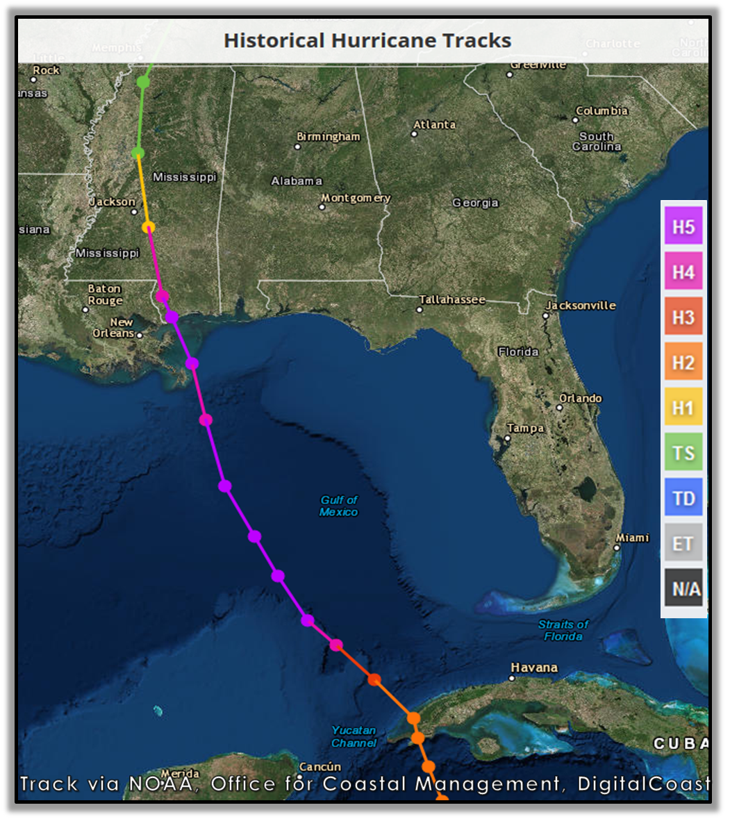
Track moved slightly west, just east of Biloxi now.


Posted on 10/7/17 at 4:05 am to GEAUXmedic
Lovely. Anything new on what cat this SOB will be at landfall?
Posted on 10/7/17 at 4:06 am to CorkSoaker
NHC says Cat 1.
Posted on 10/7/17 at 4:09 am to AU24
Just an follower during the season so please correct me if I’m wrong, but storm seems to have stabilized quite a bit overnight. Was that the critical time for RI or could it still pop off?
Thanks for all the insight, guys. Really interesting to follow along, don’t understand most of the graphics but think y’all do a great job of compressing and making it easy to digest.
Thanks for all the insight, guys. Really interesting to follow along, don’t understand most of the graphics but think y’all do a great job of compressing and making it easy to digest.
Posted on 10/7/17 at 4:13 am to Tweezy
It’s pretty much done exactly what they’ve said it was going to do as far as intensification for the last few days.. Not much.
Posted on 10/7/17 at 4:26 am to TigerStripes06
Yeah, idk just seemed like the pressure was on the brink late afternoon yesterday. I missed a few hours of the action, but saw that the initial number around 4 pm was not right and it’s actually been pretty stable the entire time.
Is the eastern hook around landfall pretty reliable due to the fronts and ridges at play?
Is the eastern hook around landfall pretty reliable due to the fronts and ridges at play?

Posted on 10/7/17 at 4:37 am to Tweezy
Now under a tropical storm warning here near Birmingham. Don’t get to say that often.

Posted on 10/7/17 at 4:43 am to Roll Tide Ravens
This bastard is moving so fast Santa's phone just started blowing up.
Posted on 10/7/17 at 4:53 am to CorkSoaker

Looks to be making landfall in less than 24hrs at landmass, usa
This post was edited on 10/7/17 at 4:55 am
Posted on 10/7/17 at 5:33 am to Placebeaux
In the last couple of frames, it appears to have veered slightly west
Posted on 10/7/17 at 5:42 am to TigerStripes06
Yeah zero strengthening over about the last 5-6 hours when it was looking like it was going to begin RI. It's moving way too fast to really get its act together.
This post was edited on 10/7/17 at 5:43 am
Posted on 10/7/17 at 6:02 am to otowntiger
quote:
Yeah zero strengthening over about the last 5-6 hours when it was looking like it was going to begin RI. It's moving way too fast to really get its act together.
I just hope it doesnt pull a Camille. It moved at like 20 plus mph
Posted on 10/7/17 at 6:12 am to Placebeaux
quote:
I just hope it doesnt pull a Camille. It moved at like 20 plus mph
Don't even . . .
Posted on 10/7/17 at 6:19 am to Placebeaux
Go home Placebeaux....you're drunk...

Posted on 10/7/17 at 6:19 am to Placebeaux
And was a major hurricane the entire time it was in the gulf.
Posted on 10/7/17 at 6:24 am to theOG
What are the odds it never makes that N/NE turn before landfall?
That thing is looking to be heading right up the mouth of the Mississippi as of now and doesn't appear to be slowing down anytime soon.
That thing is looking to be heading right up the mouth of the Mississippi as of now and doesn't appear to be slowing down anytime soon.

 Page 129 of 193

Popular
Back to top