




 0
0


- My Forums
- Tiger Rant
- LSU Recruiting
- SEC Rant
- Saints Talk
- Pelicans Talk
- More Sports Board
- Fantasy Sports
- Golf Board
- Soccer Board
- O-T Lounge
- Tech Board
- Home/Garden Board
- Outdoor Board
- Health/Fitness Board
- Movie/TV Board
- Book Board
- Music Board
- Political Talk
- Money Talk
- Fark Board
- Gaming Board
- Travel Board
- Food/Drink Board
- Ticket Exchange
- TD Help Board
Customize My Forums- View All Forums
- Show Left Links
- Topic Sort Options
- Trending Topics
- Recent Topics
- Active Topics
Started By
Message
re: Hurricane Isaias - Pensacola Beach to Navarre Beach Under the Gun
Posted on 10/9/26 at 2:31 pm to LegendInMyMind
Posted on 10/9/26 at 2:31 pm to LegendInMyMind
This is how sharknado happens. All kidding aside hopefully that couplet weakens before going onshore
Posted on 10/9/26 at 2:31 pm to GEAUXT
Posted on 10/9/26 at 2:31 pm to rds dc
Just dropping in to say that I hope you guys over there experience minimal damage and inconvenience with this gay arse storm 
Stay safe yall
Stay safe yall
Posted on 10/9/26 at 2:32 pm to LegendInMyMind
quote:OysterPoBoy is jealous
It is probably sucking up some fish right about now.
Posted on 10/9/26 at 2:32 pm to Iron Lion
Posted on 10/9/26 at 2:34 pm to AHM21
Does anyone know of a link that shows modeled wind gusts?
Posted on 10/9/26 at 2:35 pm to AHM21

Posted on 10/9/26 at 2:35 pm to LegendInMyMind
quote:
It is no doubt putting down a waterspout right now.
So the chance of a sharknado is not zero. I'd keep a chainsaw handy just in case.
Posted on 10/9/26 at 2:35 pm to Bwmdx
Here to Serve is trying to find a contact there. Usually partner with a church.
I have left messages at the Methodist church but have not heard back.
Do you have any contacts there?
If so email me at info@heretoserveinc.org.
Thanks!
I have left messages at the Methodist church but have not heard back.
Do you have any contacts there?
If so email me at info@heretoserveinc.org.
Thanks!
Posted on 10/9/26 at 2:36 pm to sicboy
Here to Serve is trying to find a contact there. Usually partner with a church.
I have left messages at the Methodist church but have not heard back.
Do you have any contacts there?
If so email me at info@heretoserveinc.org.
Thanks!
I have left messages at the Methodist church but have not heard back.
Do you have any contacts there?
If so email me at info@heretoserveinc.org.
Thanks!
Posted on 10/9/26 at 2:36 pm to Govt Tide
quote:
Does anyone know of a link that shows modeled wind gusts?
LINK
Pick your model (use HRRR or NAM at this point), pick region, and use the drop down box to the left that says "Surface Products" and choose "Wind Gusts".
This post was edited on 10/9/26 at 2:37 pm
Posted on 10/9/26 at 2:37 pm to baldona
quote:
Inlet beach area potentially around 8pm
That would be a huge shift east, not just a wobble.
Posted on 10/9/26 at 2:38 pm to lsuman25
958mb, this is one stubborn system. The poleward outflow channel is kicking.
Posted on 10/9/26 at 2:40 pm to baldona
quote:
the eye maybe going more over the east side of 30a/ Inlet beach area potentially around 8pm
I certainly hope not.
Posted on 10/9/26 at 2:42 pm to angryslugs
Looks to be sucking in a lot of dry air...
Posted on 10/9/26 at 2:42 pm to angryslugs
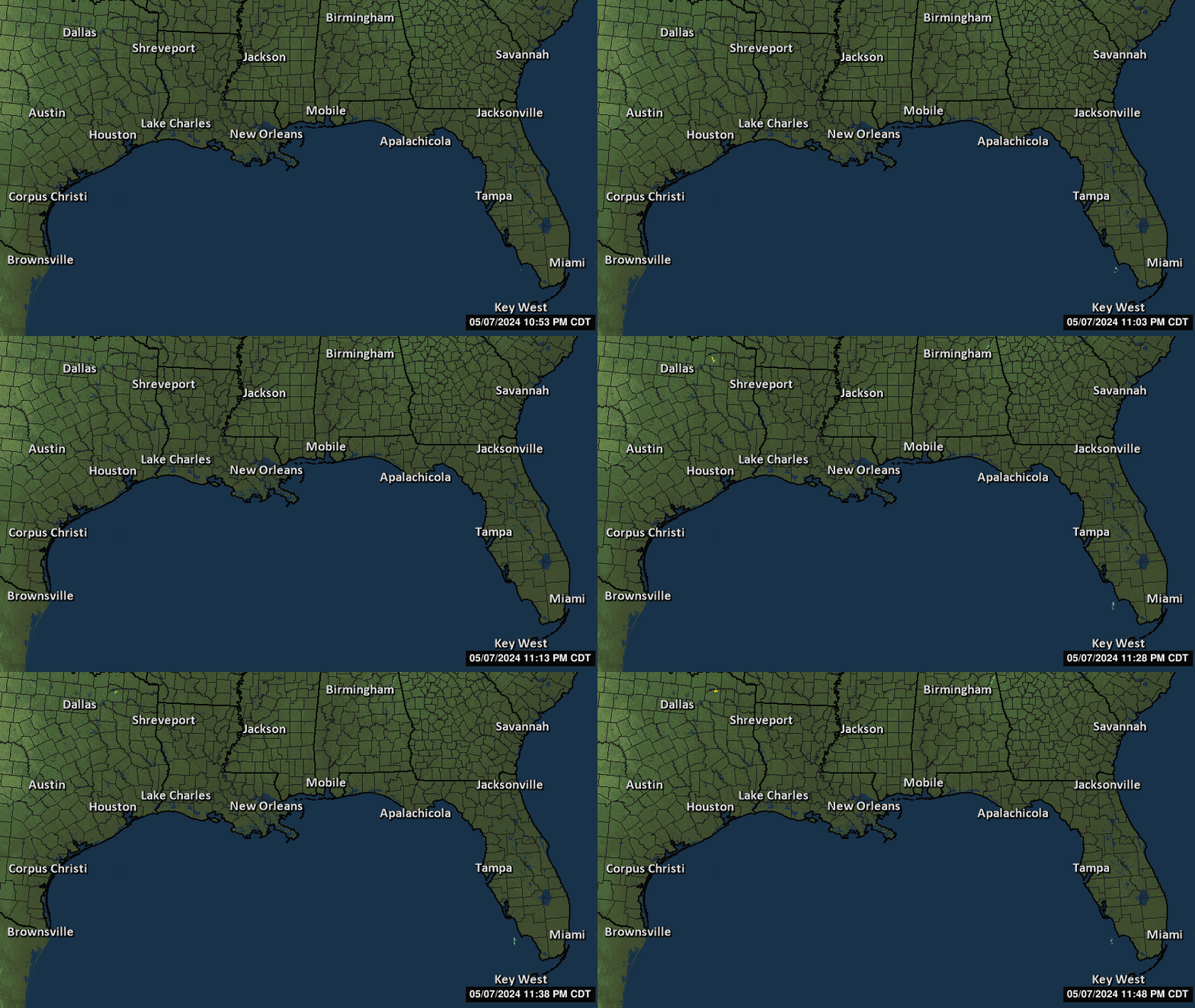
Getting squeezed by the blob to its south. Hopefully that cuts it off.
Posted on 10/9/26 at 2:42 pm to LegendInMyMind
quote:
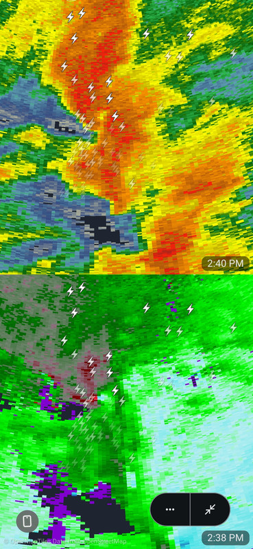
I'm referring to the tornadic cell working its way onshore in a band.
Yeah I wasn’t arguing or anything. Just posting what the radars are showing. I don’t know how you pic the eye professionally, just in general it seems like the radar future projections are showing more destin to east 30a than Pensacola to Destin, to my untrained eye?
Posted on 10/9/26 at 2:43 pm to Govt Tide
quote:
Thank you good sir!
No problem.
I should have mentioned that each individual model is located on a tab across the top.

 Page 141 of 145


Popular

Back to top
 Follow TigerDroppings for LSU Football News