- My Forums
- Tiger Rant
- LSU Recruiting
- SEC Rant
- Saints Talk
- Pelicans Talk
- More Sports Board
- Fantasy Sports
- Golf Board
- Soccer Board
- O-T Lounge
- Tech Board
- Home/Garden Board
- Outdoor Board
- Health/Fitness Board
- Movie/TV Board
- Book Board
- Music Board
- Political Talk
- Money Talk
- Fark Board
- Gaming Board
- Travel Board
- Food/Drink Board
- Ticket Exchange
- TD Help Board
Customize My Forums- View All Forums
- Show Left Links
- Topic Sort Options
- Trending Topics
- Recent Topics
- Active Topics
Started By
Message
 0
0

Posted on 10/7/20 at 1:52 pm to Indefatigable
quote:
Can we please for the love of god stop cluttering up this thread with arguments about Gustav?
Its completely irrelevant to this storm.
It’s pretty relevant as far as potential BR impacts are concerned. It’s a nice comp.
We are probably going to discuss much, much less relevant things than Gustav in the next 2 hours, so fair warning.
Posted on 10/7/20 at 1:52 pm to K2LAW
quote:
and not good for my liver.
Truest statement in this thread!
Posted on 10/7/20 at 1:53 pm to Cosmo
quote:
BR people’s infatuation with gustav is incredible
Gustav is the last hurricane that caused a lot of damage in Baton Rouge. Not hard to understand why that is the comparison storm for people in Baton Rouge.

Posted on 10/7/20 at 1:53 pm to Run up middle
are the models showing this thing slowing down to make it more a saturday landfall now?

Posted on 10/7/20 at 1:54 pm to Cosmo
quote:
BR people’s infatuation with gustav is incredible
Gustav was Baton Rouge's worst hurricane event since Betsy. I think we're allowed to use Gustav as our benchmark hurricane.
Posted on 10/7/20 at 1:54 pm to K2LAW
With the eastern shift wouldn’t this mostly spare Lake Charles? Seems like Crowley/Lafayette will be extremely close to the eye. Will be interesting to see what the 4:00 run has.
Posted on 10/7/20 at 1:54 pm to geauxtigers87
quote:
are the models showing this thing slowing down to make it more a saturday landfall now?
No, all indication is a Friday afternoon or early evening landfall for now.

Posted on 10/7/20 at 1:55 pm to slackster
quote:
We are probably going to discuss much, much less relevant things than Gustav in the next 2 hours, so fair warning.
I dont understand what is so hard to understand about this. Update comes out, roughly 45 mins of interpretation and discussions. The rest of time till next update I view as pure opinion and entertainment. I hate the Hurricane but I must say I really enjoy the threads

Posted on 10/7/20 at 1:55 pm to TDsngumbo
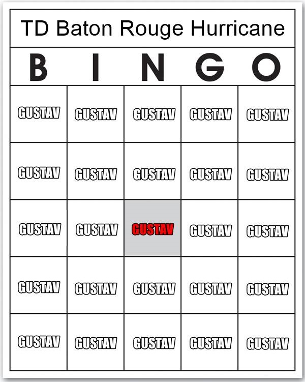
I understand but it just goes along with the rita and katrina squares on bingo.

Posted on 10/7/20 at 1:55 pm to jac1280
That is an approx 110 mile shift west
Posted on 10/7/20 at 1:56 pm to slackster
quote:
are the models showing this thing slowing down to make it more a saturday landfall now?
No, all indication is a Friday afternoon or early evening landfall for now.
thanks. just flipped through them quickly just now and it looked more like saturday
Posted on 10/7/20 at 1:56 pm to Duke
quote:yep- I’m thinking it will stay below forecast intensity. I think it may only get up to Cat 2 before it begins weakening prior to landfall. Also forecast track seems to be zeroing in on an area just west of Lafayette- putting them in the brunt this time. Hopefully Lake Charles doesnt get much out of it and it looks more and more possible that BR metro area will be spared anything severe, that is if current NHC forecast holds.
dfield has expanded some but nothing impressive there. I see a Cat 1 hurricane there. Overall it's reasonably healthy for coming off land and should start some slow intensification as it moves farther away from land into the open water

Posted on 10/7/20 at 1:57 pm to TitleistProV1X
quote:With the present track it looks like New Iberia is gonna get a municipal NI haircut.
Seems like Crowley/Lafayette will be extremely close to the eye.
Damn.

Posted on 10/7/20 at 1:57 pm to TDsngumbo
Andrew was pretty bad for BR in 92
Posted on 10/7/20 at 1:57 pm to slackster
quote:
It’s pretty relevant as far as potential BR impacts are concerned. It’s a nice comp.
We are probably going to discuss much, much less relevant things than Gustav in the next 2 hours, so fair warning.
Discussion for the sake of comparison is cool but the constant haggling over whether the storm "directly" hit BR, or 5 mph differences in the perception of wind conditions was getting obnoxious.
If we're going to get off the beaten path, lets go back to the discussion of breast milk.
This post was edited on 10/7/20 at 1:59 pm
Posted on 10/7/20 at 1:57 pm to Impotent Waffle
quote:
The rest of time till next update I view as pure opinion and entertainment. I hate the Hurricane but I must say I really enjoy the threads
It's the post storm cookout, just before the storm and on the OT.
We got recon to watch but thats a pretty narrow audience interested in that. The lull between the Euro and the 4 pm is perfect for some bullshitting.
Posted on 10/7/20 at 1:58 pm to jac1280
Looks like the current track was in the cone of the first track.
What's the issue?
What's the issue?

Posted on 10/7/20 at 1:58 pm to Indefatigable
Posted on 10/7/20 at 1:58 pm to TDsngumbo
quote:
Gustav was Baton Rouge's worst hurricane event since Betsy. I think we're allowed to use Gustav as our benchmark hurricane.
I think his comment about Gustav has to do with the fact people embellish the heck out of it, despite the truth being bad enough - see people that seem to think it was slow moving and the winds were hurricane force for hours. It’s human nature though, considering BR folks don’t have a very good baseline for comparison.

 Page 236 of 601

Popular
Back to top