- My Forums
- Tiger Rant
- LSU Recruiting
- SEC Rant
- Saints Talk
- Pelicans Talk
- More Sports Board
- Fantasy Sports
- Golf Board
- Soccer Board
- O-T Lounge
- Tech Board
- Home/Garden Board
- Outdoor Board
- Health/Fitness Board
- Movie/TV Board
- Book Board
- Music Board
- Political Talk
- Money Talk
- Fark Board
- Gaming Board
- Travel Board
- Food/Drink Board
- Ticket Exchange
- TD Help Board
Customize My Forums- View All Forums
- Show Left Links
- Topic Sort Options
- Trending Topics
- Recent Topics
- Active Topics
Started By
Message

 2
2

Posted on 8/14/16 at 10:16 am to lsunurse
Phones are down but email is working out of BR
Posted on 8/14/16 at 10:18 am to Rouge
My cousin thinks they may still have power in that subdivision....just crappy wifi.
We can't even get ahold of my aunt's landline right now.
We can't even get ahold of my aunt's landline right now.

Posted on 8/14/16 at 10:18 am to SeaPickle
quote:
Anyone in the avalon neighborhood off Millerville
I know the woodlands right behind it is completely flooded.
Water up to the roof.
There are people that were stuck in their attics because they didn't get out because they didn't want to leave their cats.
PSA:
If you have a bunch of animals you are severely limiting who can take you in. People don't have the resources to feed your family AND your 5 pets.
Posted on 8/14/16 at 10:18 am to SeaPickle
quote:
Anyone in the avalon neighborhood off Millerville? In laws are in there. Still dry but water 1/2 way up the yard. Is the water still rising in that area?
Same situation. Mom is back by Kathy drive BREC. water halfway up the yard, starting to pack and move things around the house. How much higher are higher going to get back there?
Posted on 8/14/16 at 10:18 am to lsunurse
quote:
Tiger Bend/Elliot....Rose Hill.
very likely flooded

Posted on 8/14/16 at 10:18 am to HeadyMurphey
Mom's house in Sherwood Forest now flooded. Water in street was up to floorboards of suv

Posted on 8/14/16 at 10:18 am to lsunurse
quote:
tiger bend is flooded bad.
Tiger Bend, Elliot, etc. are one of the worst areas to build.
If you drive around that area, you see old-arse houses built on stilts like a camp. It was done for a reason, but no one has seen flooding like this since 1983, so no one thought it was an issue to build there.

Posted on 8/14/16 at 10:18 am to supernovasky
Jesus. Thanks for that little bit of reality (?)/prognostication.
I think I just made a doody in my pants.


I think I just made a doody in my pants.
Posted on 8/14/16 at 10:19 am to prplhze2000
which part of sherwood forest?
Posted on 8/14/16 at 10:19 am to supernovasky
Kimbleton ave, right along claycut bayou, is completely flooded over and rising. The street is covered. Not exactly shocking but that's the best report I can give.

Posted on 8/14/16 at 10:20 am to tke857
I have been watching this on the news for the past couple of days. My prayers go out to you and I hope you and yours get through this with as little loss as possible. God Bless You!
Posted on 8/14/16 at 10:20 am to Proximo
Looks like you could go south on 43 to 190 but you won't know till you try it
Posted on 8/14/16 at 10:20 am to MrSmith
By twin oaks.
Posted on 8/14/16 at 10:20 am to MrSmith
quote:
quote:
So if anyone has reports from this area please tell us.
A little south of that outline but this is highland club if you missed it. This is from claycut backflow
Good to know.
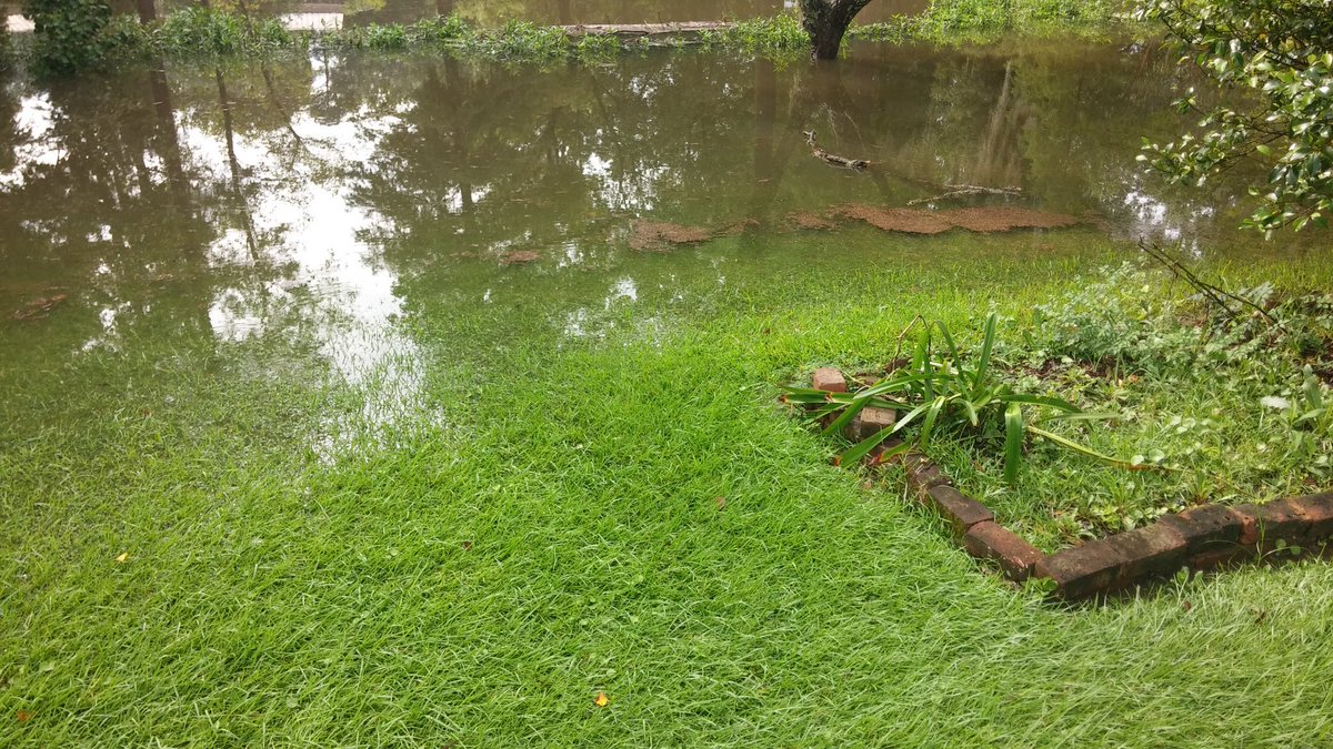
So this is the relevant graphic:

You can see that the Highland Club is one of the first places that would experience serious backflow from Clay cut.
We can be sure that whenever that picture was taken, it SHOULD be increasing:

This is actually an upstream gauge (Currently downstream with backflow) so I have to imagine that area is getting it bad. I would expect, therefore, Clay Cut to be actively rising and flooding.

Posted on 8/14/16 at 10:21 am to tke857
quote:
westhaven. springhill/fairhill is fine a lot has to happen to get that area flooded. watch the summerwoood/westhaven subdivisions
I didn't ride through Westhaven, which is next door to and east of Summerwood. There must be something unique about it. I don't think it's just because it's slightly upstream to Summerwood.
Posted on 8/14/16 at 10:22 am to supernovasky
quote:
As for the Bayou Fountain/Ward Creek system, it is already getting high at the Mancac Point.
Great post and thanks for the update. I am on a canal that drains to Bayou Fountain and I can confirm that the water has started coming up after falling last night. The backyard dips down pretty steeply to the canal but water is almost up to where the backyard flattens out up to the house.
Posted on 8/14/16 at 10:22 am to supernovasky
That picture was taken at around 6am
Posted on 8/14/16 at 10:23 am to MrSmith
I read on the Facebook page that they are turning away people with boats at this point. Anyone know if this is true or who to contact to find out?

Posted on 8/14/16 at 10:24 am to UNO
quote:
28.073 feet is someone's house i know near santa maria. what's the number over there it's supposed to get to? 21.5?
21.5 is the prediction for Bayou Manchac at Amite.
At 28 near Santa Maria, they should be ok, IMO.

 Page 179 of 472

Popular
Back to top