- My Forums
- Tiger Rant
- LSU Recruiting
- SEC Rant
- Saints Talk
- Pelicans Talk
- More Sports Board
- Coaching Changes
- Fantasy Sports
- Golf Board
- Soccer Board
- O-T Lounge
- Tech Board
- Home/Garden Board
- Outdoor Board
- Health/Fitness Board
- Movie/TV Board
- Book Board
- Music Board
- Political Talk
- Money Talk
- Fark Board
- Gaming Board
- Travel Board
- Food/Drink Board
- Ticket Exchange
- TD Help Board
Customize My Forums- View All Forums
- Show Left Links
- Topic Sort Options
- Trending Topics
- Recent Topics
- Active Topics
Started By
Message
re: Hurricane Season - Watching WCAB & Gulf for Late Week Development
Posted on 8/9/21 at 11:05 am to Prominentwon
Posted on 8/9/21 at 11:05 am to Prominentwon
Yeah I saw this. What's concerning is any break in the death ridge provides some weakness that it could take. We want that damn death ridge firmly in place to shunt this thing to Mexico.
Or a damn fish.
For those reading, this isn't this system we're discussing in this thread. This is a wave that's about to exit Africa. Long ways out.
Or a damn fish.
For those reading, this isn't this system we're discussing in this thread. This is a wave that's about to exit Africa. Long ways out.
This post was edited on 8/9/21 at 11:19 am
Posted on 8/9/21 at 11:16 am to dukke v
quote:
You have dust from the East and wind shear from the west.

Posted on 8/9/21 at 11:30 am to Oates Mustache
quote:
What's concerning is any break in the death ridge provides some weakness that it could take.
That's not the strongest or most well positioned ridge to start with. Most models show it breaking down/retreating fairly quickly, sometime late this week or early next week.
Posted on 8/9/21 at 11:33 am to LegendInMyMind
Over central and upper Texas, it's been firmly embedded for the last two weeks, but definitely not really beyond those boundaries.
Posted on 8/9/21 at 11:41 am to Oates Mustache
quote:
Over central and upper Texas, it's been firmly embedded for the last two weeks, but definitely not really beyond those boundaries.
I thought you were talking about the ridge trying to set up and sink South over the Gulf states. We will need the Texas ridge to dig in farther East if we really want its help, by "we" I mean everyone in the Gulf Coast states.
Posted on 8/9/21 at 11:44 am to LegendInMyMind
That is what I meant. I was just saying that at least in that part of Texas, it's been brutally hot with that ridge parked over them. Still a decent shot to send whatever gets there over into Mexico. Or Louisiana, east.
We know it's fantasy land at this point, but that ridge location is going to be interesting and concerning to watch.
We know it's fantasy land at this point, but that ridge location is going to be interesting and concerning to watch.
Posted on 8/9/21 at 11:49 am to dukke v
quote:
I don’t need attention from anyone dude
just reposting this to prove how full of shite you are - you say the above, then continue to post in the thread and draw attention to yourself.....GFY indeed
Posted on 8/9/21 at 1:02 pm to Thracken13
This system is starting to really pull itself together today. Kind of surprising to see honestly. Nothing to write home about, but welcome to peak season.
Posted on 8/9/21 at 1:42 pm to ArHog
quote:
You have dust from the East and wind shear from the west.
here I am...stuck in the middle with you
Posted on 8/9/21 at 1:43 pm to Oates Mustache
It might be getting together now but as it gets the circulation going it'll probably pull some dry air in. The GFS and HWRF yesterday wanted to start closing it off and as they did, some dry air got in.
Posted on 8/9/21 at 3:33 pm to Duke
NHC will initiate advisories on Potential Tropical Cyclone Six, located just east of the Lesser Antillies, at 500 PM AST (2100 UTC).
Posted on 8/9/21 at 3:40 pm to lsuman25
This ought to get us Fred, still struggling to see how it will fight off the dry air to be much more than a low end TS.
Posted on 8/9/21 at 3:42 pm to rds dc
Models keep PTC6 tangled up with land interaction for most of it's track. Then once it approaches Florida it will have to deal with an upper low that should keep conditions unfavorable. After that, a disturbance moving through the Great Lakes could lower heights enough for PTC6 to turn northward and then NE.


Posted on 8/9/21 at 4:02 pm to rds dc

Potential Tropical Cyclone Six Discussion Number 1
NWS National Hurricane Center Miami FL AL062021
500 PM AST Mon Aug 09 2021
Deep convection associated with the area of low pressure located
northeast of Barbados has continued to consolidate this afternoon,
with several bands noted in both satellite and radar data from
Barbados and Martinique. ASCAT data from this morning revealed a
sharp trough axis, but the system lacked a well-defined circulation.
However, recent visible satellite imagery hints that a better
defined center may be forming just southwest of the primary
convective mass. These trends suggest the system is likely to
become a tropical depression or storm tonight or Tuesday when it
moves near the Lesser Antilles and into the eastern Caribbean.
Therefore, advisories are being initiated on the system in order to
issue Tropical Storm Watches for portions of the Lesser Antilles,
the U.S. Virgin Islands, Puerto Rico and parts of the Dominican
Republic.
Since the system is still in its formative stage the initial motion
estimate is a somewhat uncertain 290/13 kt. A mid-tropospheric ridge
anchored over the western Atlantic should steer the system
west-northwestward through the forecast period. Although there is
high confidence in the overall steering pattern over the next
several days, there is lower than normal confidence in the details
of the track forecast, especially in the short-range due to the lack
of a well-defined center. Exactly where the center forms will have
some downstream implications on the exact forecast track, especially
across the eastern Caribbean. Regardless of the exact track,
locally heavy rainfall and gusty winds are expected to spread across
portions of the Leeward Islands, the Virgin Islands, Puerto Rico,
and the Dominican Republic over the next day or two, hence the need
for Tropical Storm Watches for portions of those areas.
The disturbance is embedded within an area of low vertical wind
shear and SSTs of around 28C. These conditions favor additional
development, but the occasional entrainment of dry mid-level air
located just west of the system is likely to prevent more rapid
organization. By Wednesday, the system is likely to be near
Hispaniola, where subtle differences in the forecast track could
have large implications on the intensity of the storm later this
week. A track directly over Hispaniola would likely significantly
disrupt the circulation, while a track more poleward of the island
could allow the system to stay more intact. An additional caveat
beyond 48 hours is that vertical wind shear out of the southwest may
also increase, which could limit the intensity after the system
moves past Hispaniola, although uncertainty exists in how much the
shear will increase given differences between the more favorable
ECMWF and less favorable GFS model solutions. The NHC intensity
forecast brings the system up to a 45 kt tropical storm before
potential land interaction with Hispaniola and afterwards is
conservative given the possibility of additional land interaction
and less favorable environmental conditions towards the end of the
forecast period.
KEY MESSAGES:
1. The system is forecast to become a tropical storm as it moves
through the Lesser Antilles tonight. Tropical storm conditions are
possible in portions of the southern Leeward Islands tonight and
Tuesday and in the Virgin Islands and Puerto Rico beginning Tuesday
afternoon, and in the Dominican Republic by Wednesday.
2. Heavy rainfall could lead to flash, urban, and small stream
flooding and potential mudslides across the U.S. Virgin Islands and
Puerto Rico. The greatest threat for flooding impacts will be across
the eastern and southeastern portions of Puerto Rico.
3. There is a risk of wind and rainfall impacts in portions of
Hispaniola, the Turks and Caicos, the southeastern Bahamas, and Cuba
later this week, although the forecast is more uncertain than usual
since the system is still in its formative stage. Interests in these
areas should monitor the system's progress and updates to the
forecast.
4. Interests in the remainder of the Bahamas and Florida should
monitor updates to the forecast for this system, but it is too soon
to determine what if any impacts could occur there by late this week
or this weekend given the uncertainty in the long-range forecast.
FORECAST POSITIONS AND MAX WINDS
INIT 09/2100Z 14.2N 59.2W 30 KT 35 MPH...POTENTIAL TROP CYCLONE
12H 10/0600Z 15.4N 61.4W 35 KT 40 MPH...TROPICAL CYCLONE
24H 10/1800Z 16.8N 64.5W 40 KT 45 MPH
36H 11/0600Z 17.9N 67.3W 45 KT 50 MPH
48H 11/1800Z 19.2N 70.2W 35 KT 40 MPH...INLAND
60H 12/0600Z 20.3N 72.8W 35 KT 40 MPH...OVER WATER
72H 12/1800Z 21.1N 75.0W 35 KT 40 MPH
96H 13/1800Z 22.8N 78.8W 40 KT 45 MPH
120H 14/1800Z 24.5N 82.0W 40 KT 45 MPH
Posted on 8/9/21 at 4:09 pm to OysterPoBoy
quote:
If you make a cone with this model Morgan City is dead center.
I think it is just a general principle of meteorology/storm forecasting that you ALWAYS initially assume a storm will make landfall in Morgan City then work your way out accordingly.
Posted on 8/9/21 at 4:31 pm to rds dc
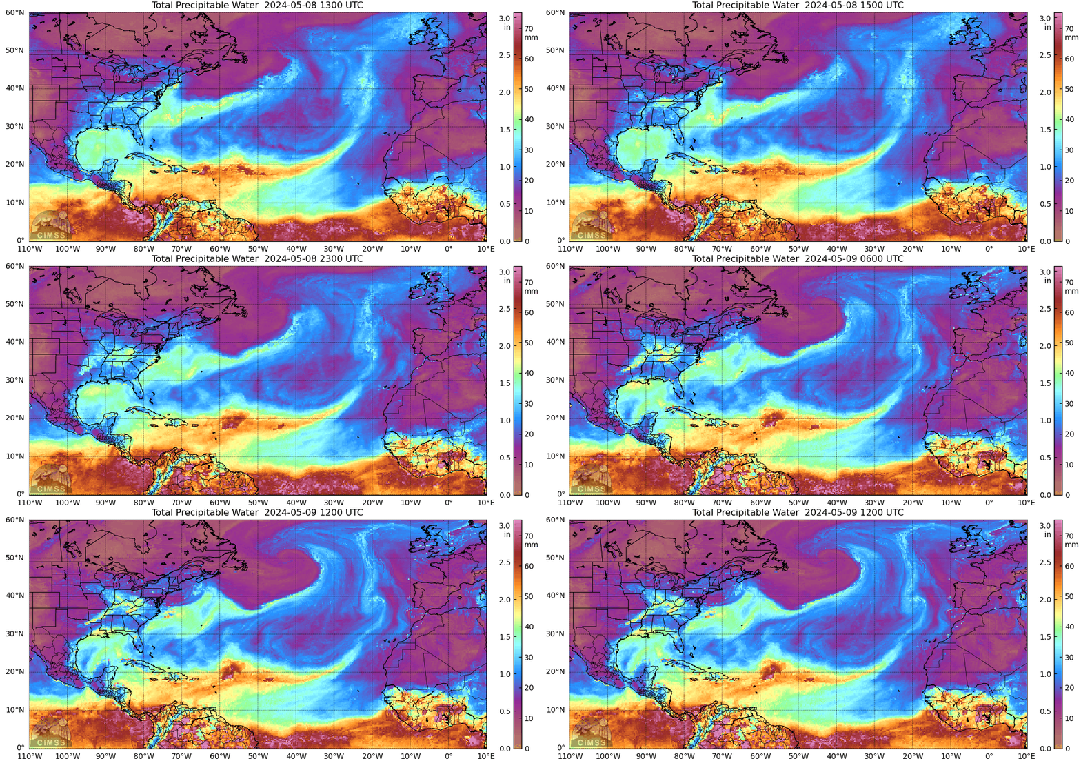
Looking healthy on the TPW loop


Posted on 8/9/21 at 4:53 pm to ArHog
"PTC6 Heading Towards the Gulf"
Come on bro. While factually probable, you know what this title will do.
Come on bro. While factually probable, you know what this title will do.
Popular
Back to top


 1
1


