- My Forums
- Tiger Rant
- LSU Recruiting
- SEC Rant
- Saints Talk
- Pelicans Talk
- More Sports Board
- Coaching Changes
- Fantasy Sports
- Golf Board
- Soccer Board
- O-T Lounge
- Tech Board
- Home/Garden Board
- Outdoor Board
- Health/Fitness Board
- Movie/TV Board
- Book Board
- Music Board
- Political Talk
- Money Talk
- Fark Board
- Gaming Board
- Travel Board
- Food/Drink Board
- Ticket Exchange
- TD Help Board
Customize My Forums- View All Forums
- Show Left Links
- Topic Sort Options
- Trending Topics
- Recent Topics
- Active Topics
Started By
Message
re: Harvey ***Catastrophic Flooding Event***
Posted on 8/23/17 at 9:30 am to Tyga Woods

Posted on 8/23/17 at 9:30 am to Tyga Woods
quote:
How strong could this storm become? Cat 2?
believe that is still very uncertain right now
 0
0

Posted on 8/23/17 at 9:34 am to NIH
Yea that matters right now.


Posted on 8/23/17 at 9:38 am to jorconalx
Posted on 8/23/17 at 9:49 am to NIH
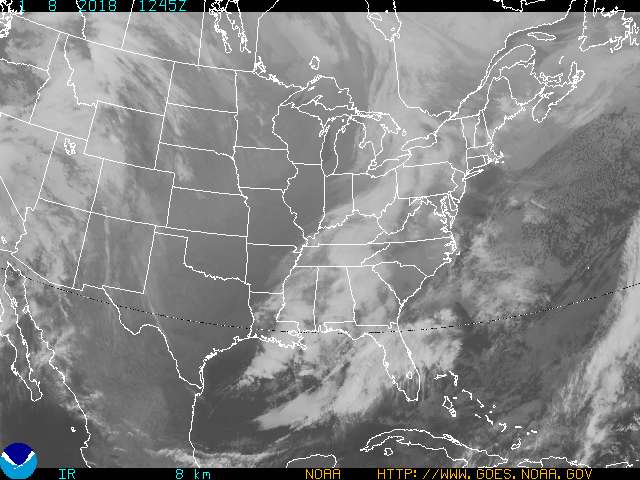
Kind of looks like it's getting its shite together.
Posted on 8/23/17 at 9:55 am to X123F45
quote:
BULLETIN
Tropical Depression Harvey Advisory Number 12
NWS National Hurricane Center Miami FL AL092017
1000 AM CDT Wed Aug 23 2017
...HARVEY REGENERATES INTO A TROPICAL DEPRESSION...
...HURRICANE AND STORM SURGE WATCHES ISSUED FOR PORTIONS OF THE
TEXAS COAST...
SUMMARY OF 1000 AM CDT...1500 UTC...INFORMATION
-----------------------------------------------
LOCATION...21.5N 92.5W
ABOUT 535 MI...860 KM SSE OF PORT OCONNOR TEXAS
ABOUT 470 MI...755 KM SE OF PORT MANSFIELD TEXAS
MAXIMUM SUSTAINED WINDS...35 MPH...55 KM/H
PRESENT MOVEMENT...NW OR 310 DEGREES AT 9 MPH...15 KM/H
MINIMUM CENTRAL PRESSURE...1006 MB...29.71 INCHES
WATCHES AND WARNINGS
--------------------
CHANGES WITH THIS ADVISORY:
A Storm Surge Watch has been issued for the coast of Texas from
Port Mansfield to High Island.
A Hurricane Watch has been issued for the coast of Texas from north
of Port Mansfield to San Luis Pass.
A Tropical Storm Watch has been issued for the coast of Texas from
the Mouth of the Rio Grande to Port Mansfield and from north of
San Luis Pass to High Island.
The government of Mexico has issued a Tropical Storm Watch for the
coast of Mexico from Boca De Catan to the Mouth of the Rio Grande.
SUMMARY OF WATCHES AND WARNINGS IN EFFECT:
A Storm Surge Watch is in effect for...
* Port Mansfield to High Island
A Hurricane Watch is in effect for...
* North of Port Mansfield to San Luis Pass
A Tropical Storm Watch is in effect for...
* Boca De Catan Mexico to Port Mansfield Texas
* North of San Luis Pass to High Island
Posted on 8/23/17 at 9:57 am to Jim Rockford
This is setting up to mimic what killed us down here last year. This is not at all what I want to see. 1000 year flooding two years in a row. Not good. It has the potential to do just that.
Posted on 8/23/17 at 9:58 am to LSU Neil
Just like Cindy, eh?

Posted on 8/23/17 at 9:59 am to rds dc
Looks like the last pattern my Southwest flight took waiting to land at IAH

Posted on 8/23/17 at 10:00 am to LSU Neil

Posted on 8/23/17 at 10:01 am to LSU Neil
quote:
This is setting up to mimic what killed us down here last year.


Posted on 8/23/17 at 10:01 am to Jim Rockford
screw the cone, look at the dates 
Posted on 8/23/17 at 10:03 am to Scooba
quote:
Looks like the last pattern my Southwest flight took waiting to land at IAH
Southwest flies into IAH?
Posted on 8/23/17 at 10:03 am to Scooba
Man I was hoping to see some positive developments at least making this damn thing move faster out of here but it doesn't look like that. Each day worse news happens and the Euro models is absolutely terrifying as worst case scenario. At this point, I'll take the models with it slowly moving NE outward because that's about the only thing positive I've seen. That's not even a positive either it's just let's take the lesser shitstorm at this point...
Someone hates Texas/Louisiana. Guess I'll prepare later today because at this point doesn't look like it's going to get better.
Someone hates Texas/Louisiana. Guess I'll prepare later today because at this point doesn't look like it's going to get better.
Posted on 8/23/17 at 10:06 am to 50_Tiger
Lord jesus, they are forecasting 48 hrs to move from houston to beaumont.
Posted on 8/23/17 at 10:08 am to Specktricity
quote:yeah, flooding will be seriously bad here
Lord jesus, they are forecasting 48 hrs to move from houston to beaumont.
frick
Posted on 8/23/17 at 10:08 am to LSU Neil
What's worse about that is we had 2 major floods last year. 3 major floods in not even 2 years.

Posted on 8/23/17 at 10:09 am to Jim Rockford

Posted on 8/23/17 at 10:12 am to The Egg
This is an excellent website for the latest info. More information than I can digest from many sources.
Hurricane Weather Page
Hurricane Weather Page

Posted on 8/23/17 at 10:12 am to dukke v
quote:
this looks to be a huge rain event more than anything with major winds...IMO.
For the love of god, NOOOOOOOOOO!!! Seriously, why do you even try anymore?

 Page 35 of 618

Popular
Back to top