- My Forums
- Tiger Rant
- LSU Recruiting
- SEC Rant
- Saints Talk
- Pelicans Talk
- More Sports Board
- Fantasy Sports
- Golf Board
- Soccer Board
- O-T Lounge
- Tech Board
- Home/Garden Board
- Outdoor Board
- Health/Fitness Board
- Movie/TV Board
- Book Board
- Music Board
- Political Talk
- Money Talk
- Fark Board
- Gaming Board
- Travel Board
- Food/Drink Board
- Ticket Exchange
- TD Help Board
Customize My Forums- View All Forums
- Show Left Links
- Topic Sort Options
- Trending Topics
- Recent Topics
- Active Topics
Started By
Message
Posted on 3/31/23 at 8:23 am to Bobby OG Johnson
Wording used in the SPC update today is not particularly good

quote:
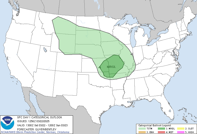
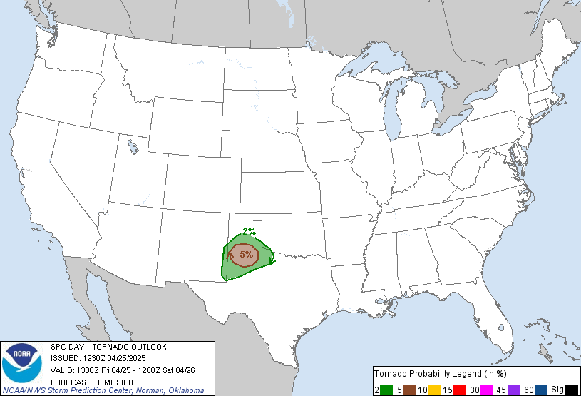
SUMMARY... A severe weather outbreak appears increasingly likely, centered on this afternoon and evening, across a large portion of the Mississippi Valley. At least a few long-track, strong to potentially violent tornadoes are probable, particularly over portions of the Mid-Mississippi Valley to the Mid-South. Swaths of intense damaging wind gusts along with very large hail are expected as well.
quote:
Ark-La-Tex to the Lower MS/TN Valleys... Multiple rounds of severe convection are expected to unfold, intensifying this afternoon in AR and Ark-La-Tex, before continuing east across the Lower MS into the TN Valleys through tonight. 60s surface dew points will expand east beneath the southern extent of the extensive EML plume over the central states. This will support a broadening swath of moderate buoyancy characterized by MLCAPE of 1000-2000 J/kg. Strong low-level to deep-layer shear will promote pre-frontal supercells by afternoon. The more intense tornado threat should be during the late afternoon and evening across the Lower MS Valley and Mid-South owing to the peak combination of instability and classic, sickle-shaped hodographs. Strong to potentially violent tornadoes will be possible with a few long-tracked supercells. Upscale growth into a QLCS with embedded supercells appears probable during the late evening and overnight as frontal convergence strengthens. Tornadoes and significant damaging wind swaths will remain possible well into the night across at least the TN Valley, until warm-sector low-level flow becomes more veered towards the end of the period.

Posted on 3/31/23 at 8:29 am to deltaland
LARGE area with high tornado risk.
Be safe out there if you are under the gun.

Be safe out there if you are under the gun.

Posted on 3/31/23 at 8:30 am to East Coast Band
My two notes from yesterday still stand as of this morning.
Memphis area folks, if you can take a half day off and not be driving home at rush hour, do it.
Extreme northern LA is still in play. The HRRR has developed storms a bit farther south this morning. It does line them out earlier, but timing-wise the Shreveport area will likely see a broken line initially. Those storms will have a good enough environment to possibly cause problems.
For the north AL folks, we're looking at more of the same, similar to the last few systems. We sill get an overnight line of storms with a high wind threat and spin-up type tornadoes. The good thing is that we're socked in by clouds right now, and I'm actually getting some light rain. That's not a bad start to the day when we have severe weather rolling in.
Posted on 3/31/23 at 8:31 am to East Coast Band
It feels like every fricking weekend we’re having severe weather.
Posted on 3/31/23 at 8:39 am to BluegrassBelle
I expect businesses here to close early. Anybody know what the torcon rating is for west Ky?
Posted on 3/31/23 at 8:39 am to LegendInMyMind
Getting light rain periodically in North Huntsville.
I won’t be posting much this evening as I don’t have much to contribute, but I’ll be reading this thread all night.
Thanks again
I won’t be posting much this evening as I don’t have much to contribute, but I’ll be reading this thread all night.
Thanks again
Posted on 3/31/23 at 8:41 am to East Coast Band
Will be following in IL. Stay safe everyone.
Posted on 3/31/23 at 8:48 am to footswitch
quote:
Getting light rain periodically in North Huntsville.
I won’t be posting much this evening as I don’t have much to contribute, but I’ll be reading this thread all night.
Thanks again
Take care, bud. These nighttime events we are getting are a pain.
ETA: We are up to seven confirmed tornadoes in north AL from the last round. They confirmed another EF2 in Falkville yesterday.
This post was edited on 3/31/23 at 8:50 am
Posted on 3/31/23 at 9:14 am to Bobby OG Johnson
quote:
NWS decided to post this after one just murdered 6 innocent people in a school shooting
I’m sure the transgender community was anxiously awaiting a tweet of support from the National Weather Service.
Posted on 3/31/23 at 9:15 am to momentoftruth87
I think it was a seven on December 10. Maybe got up to an eight.
Schools will be closing early I’m sure. It’s 62 and cloudy now.
Schools will be closing early I’m sure. It’s 62 and cloudy now.
Posted on 3/31/23 at 9:15 am to StringedInstruments
quote:
I’m scheduled to drive from Birmingham to Charleston Saturday morning. Leaving around 5:30am. I can also leave today around noon if needed. Is this supposed to be a straight line front moving through or more scattered severe storms? Should I avoid driving Saturday morning?
For Birmingham it should primarily be a single squall line rather than discrete stuff. Depending on how fast the line ends up moving, you may end up needing to delay, as it’s possible the line could be coming through B’ham around 5:30am.
Posted on 3/31/23 at 9:17 am to LegendInMyMind
No rain but pretty cloudy here this morning
Could this system end up being capped?
Could this system end up being capped?
Posted on 3/31/23 at 9:20 am to momentoftruth87
Projections for IL really took off with that advisory, now its most of the state sitting on a 7 Torcon.
Posted on 3/31/23 at 9:28 am to tide06
Yep. Was watching this morning when it was upgraded. I’m not going anywhere this afternoon.
Posted on 3/31/23 at 9:53 am to tide06
quote:
Projections for IL really took off with that advisory, now its most of the state sitting on a 7 Torcon.
Illinois has a chance to really be in the shite. Still some storm mode issues to shake out, but they have a hell of an environment for storms to take advantage of. If we see cells start popping up in the clear, it is going to be a long afternoon/evening for them.
Posted on 3/31/23 at 10:55 am to LegendInMyMind
Inside basebal.. SPC upgrading to high risk at 16:30.


Posted on 3/31/23 at 11:01 am to The Boat
I was figuring we would see it with the way things are trending.
Popular
Back to top


 2
2


