- My Forums
- Tiger Rant
- LSU Recruiting
- SEC Rant
- Saints Talk
- Pelicans Talk
- More Sports Board
- Fantasy Sports
- Golf Board
- Soccer Board
- O-T Lounge
- Tech Board
- Home/Garden Board
- Outdoor Board
- Health/Fitness Board
- Movie/TV Board
- Book Board
- Music Board
- Political Talk
- Money Talk
- Fark Board
- Gaming Board
- Travel Board
- Food/Drink Board
- Ticket Exchange
- TD Help Board
Customize My Forums- View All Forums
- Show Left Links
- Topic Sort Options
- Trending Topics
- Recent Topics
- Active Topics
Started By
Message
Tropical Storm May hit area next week
Posted on 5/31/19 at 6:47 pm
Posted on 5/31/19 at 6:47 pm
Terrible news with the high river. Open up Morganza now!
Posted on 5/31/19 at 6:47 pm to MrLSU
Well take your word for it
Link though?
Link though?
This post was edited on 5/31/19 at 6:48 pm
Posted on 5/31/19 at 7:05 pm to Modern
OP sure wasn't very informative, but maybe not completely inaccurate:
Euro Ensembles in the 6-7 day range are interesting to say the least

Euro Ensembles in the 6-7 day range are interesting to say the least

This post was edited on 5/31/19 at 7:15 pm
Posted on 5/31/19 at 7:06 pm to MrLSU
The Old River Control Structure can’t take much more of this
Posted on 5/31/19 at 7:07 pm to MrLSU

quote:
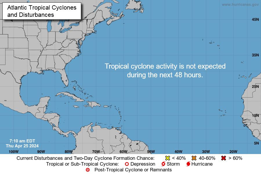
Special Tropical Weather Outlook NWS National Hurricane Center Miami FL 220 PM EDT Fri May 31 2019 For the North Atlantic...Caribbean Sea and the Gulf of Mexico:
A broad area of low pressure accompanied by cloudiness and showers centered over the Yucatan Peninsula is forecast to move westward over the southern Bay of Campeche during the weekend. Some gradual development of this system is possible through early next week as long as it remains over water. Regardless of development, the disturbance will likely produce heavy rainfall over portions of southern Mexico during the next few days. Regular issuance of the Tropical Weather Outlook will begin at 2 AM EDT tonight with the beginning of the Atlantic hurricane season. * Formation chance through 48 hours...low...20 percent. * Formation chance through 5 days...low...30 percent.
LINK
Posted on 5/31/19 at 7:18 pm to BigBrod81
1st page.
South Texas wouldn’t mind the rain.
South Texas wouldn’t mind the rain.
Posted on 5/31/19 at 7:19 pm to LSUSoulja08
quote:
No rds thread, no care
Damn straight.
Posted on 5/31/19 at 7:49 pm to MrLSU
Didn’t realize we were on M already.
Posted on 5/31/19 at 7:58 pm to MrLSU

quote:
Hurricane Season Starts Saturday. Here's What Typically Happens Early in the Season
quote:
IT'S NOT TOO EARLY FOR MAJOR IMPACTS
Hurricane Audrey is the strongest U.S. landfalling hurricane in the month of June. It roared ashore in Cameron Parish, Louisiana, as a Category 4 on June 27, 1957.
But it doesn't take an early-season hurricane in June to cause significant impacts.
Take Tropical Storm Allison in June 2001. Allison made landfall as a low-end 50-mph tropical storm near Freeport, Texas, and quickly weakened to a tropical depression. The remnants of Allison meandered and lingered for days, allowing a slow-moving rainband associated with it to flare up and unleash epic amounts of rainfall in the Houston metro area, resulting in severe flooding.
In June 1972, Hurricane Agnes made landfall in Florida, but its legacy is more strongly linked to its second wind as a tropical storm, when it curled northwestward toward New York City and stalled over the Northeast, producing flooding rainfall in the interior Northeast.
LINK
Posted on 5/31/19 at 8:00 pm to BigBrod81
quote:
Hurricane Audrey is the strongest U.S. landfalling hurricane in the month of June. It roared ashore in Cameron Parish, Louisiana, as a Category 4 on June 27, 1957.
frick. That.
Posted on 5/31/19 at 8:07 pm to MrLSU
Yeeeeeaa, a wet tropical storm coming in to the east of the Mississippi next week would be a nightmare scenario for southern Louisiana. Steady wind keeping the river up with a surge coming up river while the area receives 10+ inches of rain —frick THAT right now.
This post was edited on 5/31/19 at 8:08 pm
Posted on 5/31/19 at 8:32 pm to TDsngumbo
quote:
Yeeeeeaa, a wet tropical storm coming in to the east of the Mississippi next week would be a nightmare scenario for southern Louisiana. Steady wind keeping the river up with a surge coming up river while the area receives 10+ inches of rain —frick THAT right now
Fwiw, the "area" is currently forecast to be Texas/Mexico border. The title is pretty misleading for now.
Posted on 5/31/19 at 8:35 pm to LSUSoulja08
My apologies didn’t see that you beat me to it. If rds says it, I’m going to open Morganza my damn self.
Popular
Back to top

 18
18


