- My Forums
- Tiger Rant
- LSU Recruiting
- SEC Rant
- Saints Talk
- Pelicans Talk
- More Sports Board
- Coaching Changes
- Fantasy Sports
- Golf Board
- Soccer Board
- O-T Lounge
- Tech Board
- Home/Garden Board
- Outdoor Board
- Health/Fitness Board
- Movie/TV Board
- Book Board
- Music Board
- Political Talk
- Money Talk
- Fark Board
- Gaming Board
- Travel Board
- Food/Drink Board
- Ticket Exchange
- TD Help Board
Customize My Forums- View All Forums
- Show Left Links
- Topic Sort Options
- Trending Topics
- Recent Topics
- Active Topics
Started By
Message
re: SEVERE WEATHER: Moderate Risk for parts of LA & MS; Enhanced/Slight risk for most of AL
Posted on 12/15/19 at 10:38 pm to Large Farva
Posted on 12/15/19 at 10:38 pm to Large Farva
Bumping so people can see the thread again and be aware of the threat. Have a good way to get watches/warnings. Be safe.
Some area specific NWS graphics:


Some area specific NWS graphics:


This post was edited on 12/15/19 at 10:40 pm
Posted on 12/15/19 at 11:13 pm to Roll Tide Ravens
Those timelines are from this afternoon. And they are quite broad of five hours or more.
Schools are already cancelling after school activities.
I think the weather service ought to provide an updated timeline by now. It's now been 10 hours since that posted update.
Schools are already cancelling after school activities.
I think the weather service ought to provide an updated timeline by now. It's now been 10 hours since that posted update.
Posted on 12/15/19 at 11:19 pm to BRgetthenet
All clear on the high rise until you get to Louisa where you’ll see nominal delays
Posted on 12/16/19 at 2:49 am to Roll Tide Ravens
Guess I'm not going to work today
Posted on 12/16/19 at 6:16 am to HamzooReb
From the SPC:
quote:
Sunday night surface observations over the northwest Gulf Coast indicate a very moist airmass (dewpoints near 70 degrees F) has infiltrated the coastal plain of the upper TX coast and southwest LA. A relatively pristine convective scenario is forecast to unfold beginning by the late morning-midday timeframe in the vicinity of the Sabine Valley and gradually spread northeast during the afternoon as the boundary layer destabilizes. The combination of diurnal heating and continued moistening at the base of a weakening capping inversion will gradually lead to convective development by early afternoon. It appears thunderstorms will preferentially favor the front but discrete warm sector initiation appears plausible mainly in a corridor from central into northeast LA. Strong and veering low- to mid-level flow fields are forecast across the Enhanced Risk. Forecast hodographs show some tendency for some minor veer-back-veer structure around 700mb which may dampen a more favorable hodograph/storm rotation potential. Nonetheless, forecast soundings show a moist boundary layer with MLCAPE ranging from 1500 J/kg across LA into central MS with decreasing CAPE with northeast/east extent. Consequently, a fanning of lower severe probabilities are forecast from north-central MS northeastward into TN and the northern half of AL. Large hail may accompany the stronger cores where the risk for discrete updrafts is highest and where 700-500mb lapse rates are 7-8 degrees C/km over LA and parts of MS. The tornado risk will probably maximize during the afternoon/evening over LA as quasi-discrete activity develops and moves northeast into MS. A gradual consolidation/merging of storms will lead to the risk for damaging gusts increasing concurrent with upscale growth.
Posted on 12/16/19 at 6:52 am to East Coast Band
Not much change in today’s outlook:

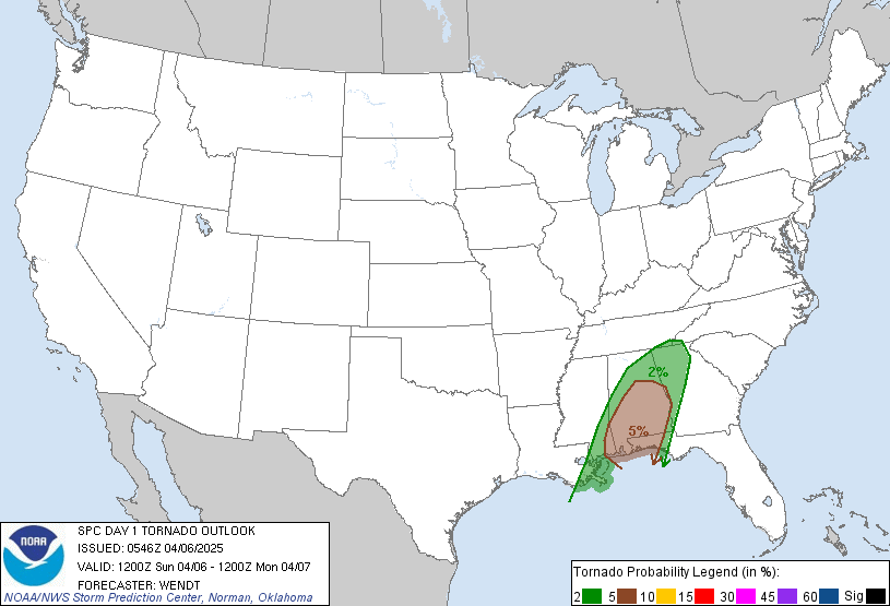
Tornado probability within 25 miles of a given point:


Tornado probability within 25 miles of a given point:

Posted on 12/16/19 at 7:05 am to Roll Tide Ravens
I'm incredibly busy right now. Glad someone is holding down the tornado fort around here.
Posted on 12/16/19 at 7:16 am to Duke
Hope everyone has a safe Monday
Posted on 12/16/19 at 7:49 am to Duke
quote:
I'm incredibly busy right now. Glad someone is holding down the tornado fort around here.
Surprised this thread is struggling.
Seems like there are a lot of elements in place for some serious weather today.
Wish everyone well
Posted on 12/16/19 at 8:20 am to East Coast Band
[quote]Beginning late morning into early afternoon, development and gradual strengthening/expansion of surface-based thunderstorms is forecast along/ahead of the surface cold front -- initially over western/ southern parts of the outlook area. Activity should grow in coverage and move across the Delta, Mid-South and MS/AL regions through this evening into tonight. Tornadoes will be possible across the entire region, but with greatest potential in a corridor from central LA across central/eastern MS where supercells are most probable, and may access the most favorable CAPE/shear parameter space. Damaging gusts should be the most common convective event area-wide. Severe hail is most probable over southwestern parts of the outlook area -- essentially collocated with greatest tornado probabilities and for much the same reason (potential for supercells).
[/quote]
[/quote]
Posted on 12/16/19 at 8:29 am to East Coast Band
Everything I am seeing is saying it's going to move in to NW AL around 5 and the Bham area around 7.
Most west AL counties have canceled all after school activities as well as Huntsville and surrounding counties.
Hope everyone stays safe
Most west AL counties have canceled all after school activities as well as Huntsville and surrounding counties.
Hope everyone stays safe
Posted on 12/16/19 at 8:53 am to MrLarson
quote:
Everything I am seeing is saying it's going to move in to NW AL around 5 and the Bham area around 7.

This post was edited on 12/16/19 at 8:53 am
Posted on 12/16/19 at 8:57 am to Roll Tide Ravens
If you notice the map you have today compared to yesterday, they expanded the orange enhanced area slightly east to include all of Tuscaloosa County and some neighboring counties as well.
I think the enhanced area to the South and West in Louisiana was unchanged
I think the enhanced area to the South and West in Louisiana was unchanged
Posted on 12/16/19 at 9:15 am to Roll Tide Ravens
None of this is looking good. I wish they would narrow down a time though. shite is probably going to be full bore right at dark per usual.
Posted on 12/16/19 at 9:29 am to East Coast Band
quote:
If you notice the map you have today compared to yesterday, they expanded the orange enhanced area slightly east to include all of Tuscaloosa County and some neighboring counties as well.
I think the enhanced area to the South and West in Louisiana was unchanged
This is one of those cases where SPC’s risk area and NWS Birmingham’s are a little different. SPC did not expand theirs that far northeastward.
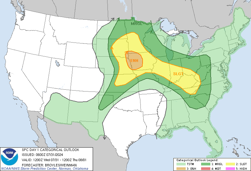
This is SPC’s current risk area, and as you can see it’s not expanded as far northeastward as NWS B’ham’s:

This post was edited on 12/16/19 at 9:36 am
Posted on 12/16/19 at 9:31 am to OleWarSkuleAlum
quote:
This is the one I got. Put three of them in various places throughout the house..
The Midland weather radios are the best ones out there. Good choice and good on you for putting them throughout your home. People should have a weather radio in their home just like they have a smoke detector.
Posted on 12/16/19 at 9:43 am to Roll Tide Ravens
Scary warm today.
High of 41 tomorrow.
I'm no meteorologist but that seems to imply one hell of a front coming through to flip the script like that in less than 24 hours...
High of 41 tomorrow.
I'm no meteorologist but that seems to imply one hell of a front coming through to flip the script like that in less than 24 hours...
Popular
Back to top


 2
2


