- My Forums
- Tiger Rant
- LSU Recruiting
- SEC Rant
- Saints Talk
- Pelicans Talk
- More Sports Board
- Fantasy Sports
- Golf Board
- Soccer Board
- O-T Lounge
- Tech Board
- Home/Garden Board
- Outdoor Board
- Health/Fitness Board
- Movie/TV Board
- Book Board
- Music Board
- Political Talk
- Money Talk
- Fark Board
- Gaming Board
- Travel Board
- Food/Drink Board
- Ticket Exchange
- TD Help Board
Customize My Forums- View All Forums
- Show Left Links
- Topic Sort Options
- Trending Topics
- Recent Topics
- Active Topics
Started By
Message
re: Hurricane Season - NHC Tracking TD7 but Very Low End Gulf Threat
Posted on 8/17/22 at 8:57 pm to Oates Mustache
Posted on 8/17/22 at 8:57 pm to Oates Mustache
 0
0

Posted on 8/17/22 at 9:00 pm to Oates Mustache

Posted on 8/17/22 at 9:03 pm to LegendInMyMind
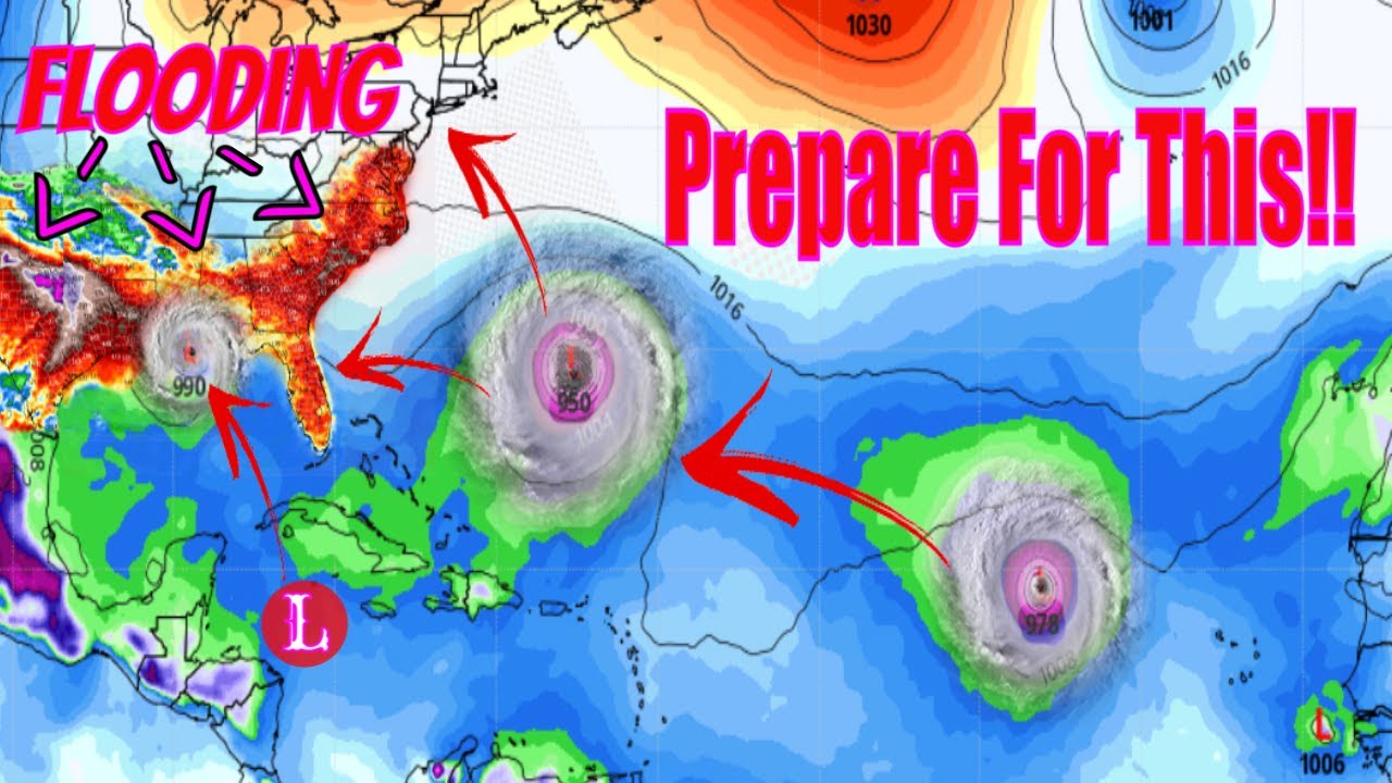
I get so fricking angry that, let's say this gulf system that's showing on the GFS never materializes. No one goes back and beats his balls with a claw hammer for that shite. Everyone either forgets or just doesn't care.
This post was edited on 8/17/22 at 9:04 pm
Posted on 8/17/22 at 9:34 pm to rds dc
Another failed thread.
Posted on 8/17/22 at 9:40 pm to LegendInMyMind
Jesus Christ who could watch that shite for a half an hour?

Posted on 8/17/22 at 9:50 pm to Oates Mustache
quote:
get so fricking angry that, let's say this gulf system that's showing on the GFS never materializes. No one goes back and beats his balls with a claw hammer for that shite. Everyone either forgets or just doesn't care.
You and me both. We share the same mortal enemy in Tropical Storm Central.
All these pussies do is ban you from their page for calling out their bullshite

Posted on 8/17/22 at 10:37 pm to Prominentwon
East Coast will have more worries this Season

Posted on 8/17/22 at 11:02 pm to LegendInMyMind

Peej?

Posted on 8/17/22 at 11:09 pm to WestCoastAg
quote:
im supposed to be driving through the exact place this storm is making landfall at the exact time its strength will be at its peak, will i be safe?
Oh man, I have a flight the night before/day of expected landfall. Do you think it'll be canceled?
Posted on 8/17/22 at 11:13 pm to Jwho77
Hey I downvoted me too but it doesn’t make it less true. From the man:
Let’s start with the latest NHC 5 Day Outlook. We still have the Yellow area projected to move over the Yucatan Peninsula with possible development when it hits the Bay of Campeche.
NHC 5 Day Outlook
This situation doesn’t appear to be threatening, but the latest GFS model shows rapid development near August 28, 2022 with a strong tropical storm or Category 1 hurricane making landfall between Mobile Alabama and New Orleans on or about August 29, 2022.
By August 29, 2022, the area in the Gulf of Mexico has strengthened and closing in on the northern Gulf Coast. Again, we must remember the GFS has a tendency to over-forecast the development of tropical systems, so my confidence level for this situation sits near 50%.
On August 30, 2022, the storm in the Gulf of Mexico makes landfall as either a strong tropical storm or a Category 1 hurricane. In the meantime, the 2 storms in the Atlantic Ocean continue to move northwestward.
This post was edited on 8/17/22 at 11:17 pm
Posted on 8/17/22 at 11:42 pm to TutHillTiger
The 00z GFS that isn't even half done running yet just shot two thirds of your post in the head.
This post was edited on 8/17/22 at 11:43 pm
Posted on 8/18/22 at 12:15 am to TutHillTiger
GFS still says to me watch the WCab out in the 7 day period. GFS doesn't have much, but it sees a weak wave coming into the region about that time period.
Plenty of warm water and a good upper level/light shear regime means keep an eye down there, but be happy models aren't really biting all that hard.

After that, I'm really just looking to see if the ensembles or hell, even operational runs into that two week range start popping off storms. Will those storms end up being real? Probably not but that's the signal things are going to turn on over the Main Development Region (MDR).
Tonight's GFS is seeing a train of waves by the end of the month, and develops some of them. It is just that there is a bit of an upper level trough over the eastern Atlantic and it brings some shear.

What is concerning is farther west, things are primed with warm water and the upper levels look friendly. It could well be we get another round of waves struggling through the MDR but having enough left to develop farther west where they can't avoid land.
Not saying that's going to happen, but it is concerning with as hostile as the GFS has the MDR into the end of the month.
Plenty of warm water and a good upper level/light shear regime means keep an eye down there, but be happy models aren't really biting all that hard.
After that, I'm really just looking to see if the ensembles or hell, even operational runs into that two week range start popping off storms. Will those storms end up being real? Probably not but that's the signal things are going to turn on over the Main Development Region (MDR).
Tonight's GFS is seeing a train of waves by the end of the month, and develops some of them. It is just that there is a bit of an upper level trough over the eastern Atlantic and it brings some shear.
What is concerning is farther west, things are primed with warm water and the upper levels look friendly. It could well be we get another round of waves struggling through the MDR but having enough left to develop farther west where they can't avoid land.
Not saying that's going to happen, but it is concerning with as hostile as the GFS has the MDR into the end of the month.
Posted on 8/18/22 at 2:19 am to rds dc
No link?
Posted on 8/18/22 at 4:35 am to Duke
Im not seeing anything through September 3rd. Do the models change that fast? When I checked it yesterday it had a hurricane slamming into Mobile, now nothing.
Posted on 8/18/22 at 8:18 am to Easye921
That gulf system everyone was going crazy over poofed on the GFS. Someone had mentioned the GFS has a tendency to spin up systems off the coast of Venezuela that never materialize. This appears to be the case according to a professional meteorologist on another forum.

Posted on 8/18/22 at 8:56 am to Oates Mustache

Posted on 8/18/22 at 8:58 am to Cosmo
Hell yeah keep the quiet streak going 
Posted on 8/18/22 at 9:03 am to Cosmo
And SAL appears to be poised for another end of season push too. Might keep things in check for another week though we don't want those systems that don't start developing until they hit the islands.

Posted on 8/18/22 at 10:22 am to Oates Mustache
quote:
That gulf system everyone was going crazy over poofed on the GFS. Someone had mentioned the GFS has a tendency to spin up systems off the coast of Venezuela that never materialize. This appears to be the case according to a professional meteorologist on another forum.
Those ensembles are still lighting up more than the top of my head in the sunshine.
This post was edited on 8/18/22 at 10:23 am

 Page 5 of 71

Popular
Back to top