- My Forums
- Tiger Rant
- LSU Recruiting
- SEC Rant
- Saints Talk
- Pelicans Talk
- More Sports Board
- Fantasy Sports
- Golf Board
- Soccer Board
- O-T Lounge
- Tech Board
- Home/Garden Board
- Outdoor Board
- Health/Fitness Board
- Movie/TV Board
- Book Board
- Music Board
- Political Talk
- Money Talk
- Fark Board
- Gaming Board
- Travel Board
- Food/Drink Board
- Ticket Exchange
- TD Help Board
Customize My Forums- View All Forums
- Show Left Links
- Topic Sort Options
- Trending Topics
- Recent Topics
- Active Topics
Started By
Message
re: Wednesday weather thread: MS, AL, LA, TN, Enhanced for MS, AL, TN
Posted on 12/29/21 at 10:14 pm to Roll Tide Ravens
Posted on 12/29/21 at 10:14 pm to Roll Tide Ravens
NWS in Birmingham calling this a “large and extremely dangerous tornado.”
Posted on 12/29/21 at 10:16 pm to Roll Tide Ravens
This is definitely the best looking storm and velocity couplet if the day.
Posted on 12/29/21 at 10:16 pm to TigerOnTheMountain
quote:
Warning or watch? Warning means a tornado has touched down and they should seek shelter immediately. Watch means conditions are right for a tornado, but nothing has been produced.
It was a warning…expired now.
Posted on 12/29/21 at 10:17 pm to Roll Tide Ravens
PDS Tornado Warning
Severe Weather Statement
National Weather Service Birmingham AL
1012 PM CST Wed Dec 29 2021
ALC021-117-300445-
/O.CON.KBMX.TO.W.0089.000000T0000Z-211230T0445Z/
Chilton AL-Shelby AL-
1012 PM CST Wed Dec 29 2021
...A TORNADO WARNING REMAINS IN EFFECT UNTIL 1045 PM CST FOR
NORTHEASTERN CHILTON AND SOUTHEASTERN SHELBY COUNTIES...
At 1012 PM CST, a confirmed large and extremely dangerous tornado was
located near Calera, moving east at 35 mph.
This is a PARTICULARLY DANGEROUS SITUATION. TAKE COVER NOW!
HAZARD...Damaging tornado.
SOURCE...Radar confirmed tornado.
Posted on 12/29/21 at 10:22 pm to TigerOnTheMountain
quote:
Warning means a tornado has touched down
Doesn’t have to mean it’s touched down.
Posted on 12/29/21 at 10:25 pm to notiger1997
Yeah, spotted visually or by radar as having formed is more accurate.
Posted on 12/29/21 at 10:28 pm to Roll Tide Ravens
As quick as that tornado spun up, it’s gone.
Posted on 12/29/21 at 10:33 pm to TigerOnTheMountain
Tornado Watch means that conditions are favorable in the watch area for development of thunderstorms that could become tornadic. Usually issued before the storms ever even form.
Tornado Warning means that there is an ongoing thunderstorm that has become capable of producing a tornado (i.e., radar indicates that it is rotating enough that it could soon drop a tornado) or that a storm is confirmed to be producing a tornado.
Tornado Warning means that there is an ongoing thunderstorm that has become capable of producing a tornado (i.e., radar indicates that it is rotating enough that it could soon drop a tornado) or that a storm is confirmed to be producing a tornado.
Posted on 12/29/21 at 10:41 pm to Roll Tide Ravens
Think of it this way.


Posted on 12/29/21 at 10:47 pm to Briella
Garden variety severe thunderstorm a few miles north of Atlanta.
ETA pretty decent lightning show
ETA pretty decent lightning show
This post was edited on 12/29/21 at 10:49 pm
Posted on 12/29/21 at 10:48 pm to Roll Tide Ravens
NWS:
I’m in the process of becoming a trained spotter for our local HAM radio SKYWARN group and they use the National Weather Service definitions of watch/warning.
quote:
Tornado Watch: Be Prepared! Tornadoes are possible in and near the watch area. Review and discuss your emergency plans and check supplies and your safe room. Be ready to act quickly if a warning is issued or you suspect a tornado is approaching. Acting early helps to save lives! Watches are issued by the Storm Prediction Center for counties where tornadoes may occur. The watch area is typically large, covering numerous counties or even states.
Tornado Warning: Take Action! A tornado has been sighted or indicated by weather radar. There is imminent danger to life and property. Move to an interior room on the lowest floor of a sturdy building. Avoid windows. If in a mobile home, a vehicle, or outdoors, move to the closest substantial shelter and protect yourself from flying debris. Warnings are issued by your local forecast office. Warnings typically encompass a much smaller area (around the size of a city or small county) that may be impacted by a tornado identified by a forecaster on radar or by a trained spotter/law enforcement who is watching the storm.
I’m in the process of becoming a trained spotter for our local HAM radio SKYWARN group and they use the National Weather Service definitions of watch/warning.
Posted on 12/30/21 at 4:58 am to Briella
Crawfish boil one was better
Posted on 12/30/21 at 5:36 am to Briella
If it needs that much explanation it’s not a good system.
Tornado watch: could happen
Tornado present: is happening
Would be a better system.
Tornado watch: could happen
Tornado present: is happening
Would be a better system.
Posted on 12/30/21 at 5:55 am to East Coast Band
Who wants to start the weather thread for the next round on NYE and New Year's Day?
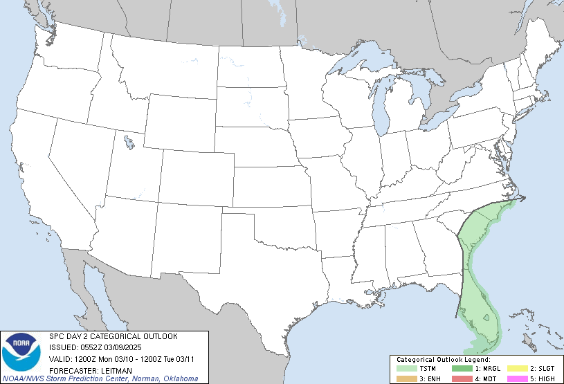


Posted on 12/30/21 at 8:55 am to East Coast Band
Tricky, tricky forecast for this two-day setup coming up. I don't know if I'd want any part of forecasting it.
It is similar to the Dec. 10/11 setup in that some of the same features are at play. A closed low will eject our of Mexico and be picked up by the digging trough. There's also a surface low at play, which the Dec. 10/11 event also had. However the positioning of that low is different, and that will influence not only storm mode, but also storm motion and shear.
Timing of all of those different parts will tell the story here. The most likely failure mode, also similar to 10/11 will be strong forcing that results in a messy or linear storm mode and persistent capping that could be stronger than the early December system. Hopefully, that means less likelihood for rogue cells that can break the cap, much like we saw with the more Southern cells that evening that just fizzled instead of growing into monsters like they did farther North.
Of course, the temps and high dews are still in play. That won't be a limiting factor. Tomorrow, some drier air aloft could help keep things in check farther West, but that won't be much in play for the MS and TN valleys on Saturday.
Posted on 12/30/21 at 10:05 am to LegendInMyMind
NWS Birmingham has not been impressed with the Saturday threat in their AFD the last couple of days due to unidirectional wind profiles above 850mb. However, while they still aren't getting too hyped about the thread, this morning they've noted some potential for Saturday.
quote:
However, guidance also suggests wind profiles will be mostly unidirectional above 850 mb, but there`s a little more backed flow in the boundary layer due to better pressure falls now progged across the TN Valley. In fact, forecast hodographs aren`t too dissimilar from the RADAR derived wind profiles experienced tonight(0-1km SRH 200-300 m2/s2) within a ~50 kt low-level jet. This trend will certainly need to be watched as the warm sector/expected forcing will be supportive of all modes of severe convective weather
- primarily damaging wind gusts and a few tornadoes if thunderstorms/convective modes evolve accordingly. The main threat timing for Central AL should be mid Saturday afternoon into early Sunday morning.
This post was edited on 12/30/21 at 10:06 am
Posted on 12/30/21 at 11:06 am to Roll Tide Ravens
quote:
NWS Birmingham has not been impressed with the Saturday threat in their AFD the last couple of days due to unidirectional wind profiles above 850mb.
Yeah, that's where the position and timing of that surface low relative to the LLJ comes into play. SSW flow at/near the surface would line up with the storm motion and limit broader distribution of high shear values. Boundaries would become important then and lead to a more localized storm threat that would be dictated by those pockets of greater shear and areas that see storms manage to be more discrete or broken-line in nature.
It could also lead to a more linear storm mode that is just messy in general. I haven't really dug into models much or looked at many soundings. I suspect hodographs would be flatter than what we saw on Dec. 10/11 with the more impressive hodographs being more localized.
Posted on 12/31/21 at 9:05 pm to LegendInMyMind
(no message)
This post was edited on 8/13/24 at 9:10 am
Popular
Back to top

 1
1


