




- My Forums
- Tiger Rant
- LSU Recruiting
- SEC Rant
- Saints Talk
- Pelicans Talk
- More Sports Board
- Fantasy Sports
- Golf Board
- Soccer Board
- O-T Lounge
- Tech Board
- Home/Garden Board
- Outdoor Board
- Health/Fitness Board
- Movie/TV Board
- Book Board
- Music Board
- Political Talk
- Money Talk
- Fark Board
- Gaming Board
- Travel Board
- Food/Drink Board
- Ticket Exchange
- TD Help Board
Customize My Forums- View All Forums
- Show Left Links
- Topic Sort Options
- Trending Topics
- Recent Topics
- Active Topics
Started By
Message

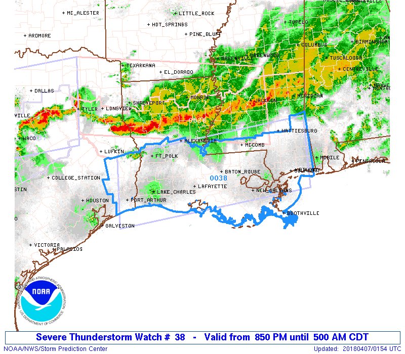
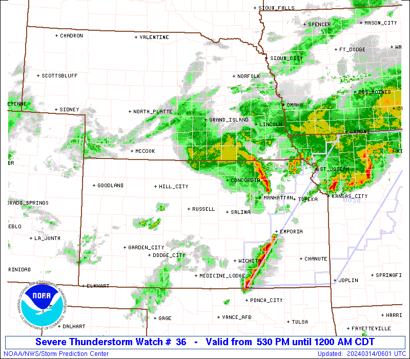
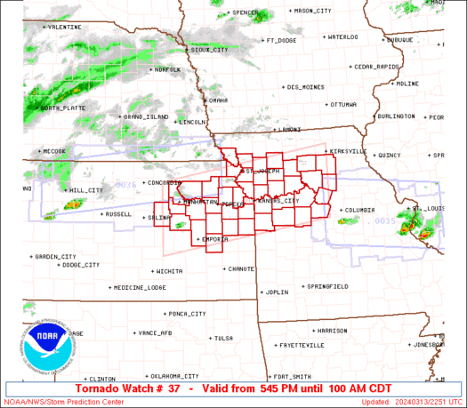
Stormy Night with Multiple Watches and Warnings Across Texas, Louisiana and Mississippi
Posted on 4/6/18 at 3:06 pm
Posted on 4/6/18 at 3:06 pm
This post was edited on 4/6/18 at 8:58 pm
 16
16


Posted on 4/6/18 at 3:07 pm to rds dc
Settle down Beavis

Posted on 4/6/18 at 3:07 pm to rds dc
Change your topic you gossip girlesque lil woman.
Title seems as if tornadoes are down, that's not the case.
Title seems as if tornadoes are down, that's not the case.
Posted on 4/6/18 at 3:08 pm to rds dc
Oh good, I was hoping the rain came to frick up BR traffic even more.


Posted on 4/6/18 at 3:08 pm to rds dc
Thor can meet my arse at sonic.
We comin
Delta stacked
Weather fricked
We comin
Delta stacked
Weather fricked

Posted on 4/6/18 at 3:10 pm to rds dc


Posted on 4/6/18 at 3:11 pm to rds dc
I spoke with a buddy of mine that’s a meteorologist and he mentioned this to me. He said it could be the worst that part of Louisiana has ever seen.
This post was edited on 4/6/18 at 3:12 pm
Posted on 4/6/18 at 3:11 pm to rds dc
quote:Why do you do this?
Tornado! North & CenLA under the Gun

There is no tornado detected in Louisiana now.
Posted on 4/6/18 at 3:21 pm to rds dc
Just got the tornado watch text notification
ETA: one thing folks using Straight Talk should be aware of is they're inconsistent with emergency alerts. I get mine separately through the local emergency preparedness office and most of the time they don't show up at all from straight talk.
ETA: one thing folks using Straight Talk should be aware of is they're inconsistent with emergency alerts. I get mine separately through the local emergency preparedness office and most of the time they don't show up at all from straight talk.
This post was edited on 4/6/18 at 3:25 pm
Posted on 4/6/18 at 3:23 pm to rds dc


Posted on 4/6/18 at 3:30 pm to rds dc
quote:
North & CenLA

Posted on 4/6/18 at 3:34 pm to Paul Allen
it's not Kennebunkport but it's home.
Posted on 4/6/18 at 3:37 pm to Paul Allen
What you saying, no lost? 


Posted on 4/6/18 at 4:09 pm to rds dc
Watch coming for DFW, large hail primary threat but tornadoes are also possible

Posted on 4/6/18 at 4:49 pm to rds dc
This is not a good look, multiple discrete supercells developing south of the warm front

Posted on 4/6/18 at 5:04 pm to rds dc
Can you print the radar without the moving loop and mark where supercells are?
ETA: Are the tornadic cells northwest of Caddo Parish supercells? I assume the tornadic storms East of Shreveport-Bossier are.
ETA: Are the tornadic cells northwest of Caddo Parish supercells? I assume the tornadic storms East of Shreveport-Bossier are.
This post was edited on 4/6/18 at 5:08 pm
Posted on 4/6/18 at 5:13 pm to chinhoyang
quote:
Can you print the radar without the moving loop and mark where supercells are?
ETA: Are the tornadic cells northwest of Caddo Parish supercells? I assume the tornadic storms East of Shreveport-Bossier are.
I'm on the move right now so can't do any markups. The cells that are pea shaped that curve or hook on the storm relative left-hand side are developing supercell structures.

Posted on 4/6/18 at 5:18 pm to chinhoyang
quote:
ETA: Are the tornadic cells northwest of Caddo Parish supercells? I assume the tornadic storms East of Shreveport-Bossier are.
I've only got severe warnings on the cluster NW of Caddo coming into Shreveport. They're more of a complex than single cells.
It's the individual cells popping off east of I49 that are going supercell and have the greatest tornado potential.

 Page 1 of 5

Popular
Back to top
 Follow TigerDroppings for LSU Football News