- My Forums
- Tiger Rant
- LSU Recruiting
- SEC Rant
- Saints Talk
- Pelicans Talk
- More Sports Board
- Fantasy Sports
- Golf Board
- Soccer Board
- O-T Lounge
- Tech Board
- Home/Garden Board
- Outdoor Board
- Health/Fitness Board
- Movie/TV Board
- Book Board
- Music Board
- Political Talk
- Money Talk
- Fark Board
- Gaming Board
- Travel Board
- Food/Drink Board
- Ticket Exchange
- TD Help Board
Customize My Forums- View All Forums
- Show Left Links
- Topic Sort Options
- Trending Topics
- Recent Topics
- Active Topics
Started By
Message
 0
0

Posted on 7/13/25 at 8:43 pm to Mr Roboto
That ain’t good baw. Atleast my generator is ready.
Posted on 7/13/25 at 8:49 pm to slutiger5
Most are weak rainmakers. Relax
Posted on 7/13/25 at 9:09 pm to Mr Roboto
I pick mobile.
Posted on 7/13/25 at 9:12 pm to slutiger5
And Mobile says absolutely not
Posted on 7/13/25 at 9:59 pm to TutHillTiger
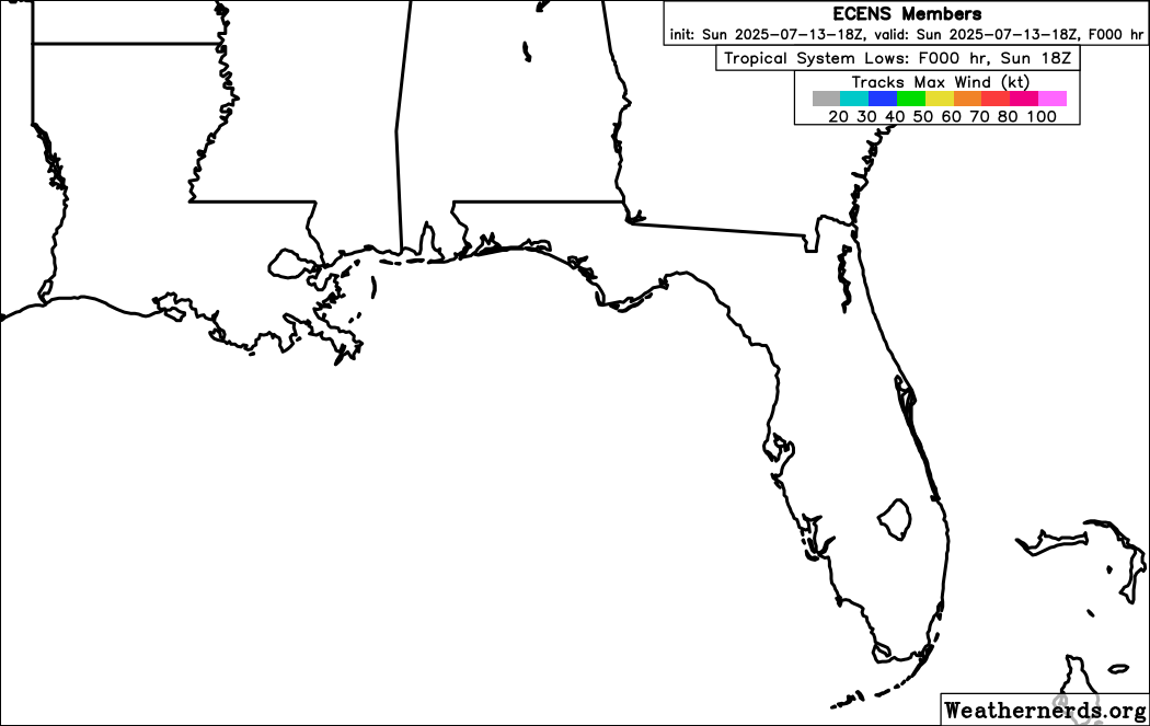
18z euro continues the trend of SE LA to far west panhandle
Posted on 7/13/25 at 10:05 pm to CoonassatTEXAS
Good. Go east young system.

Posted on 7/13/25 at 10:19 pm to rds dc
Suppose to go from BSL to OBA via boat Thursday. Looks like I will be taking the truck instead 
Posted on 7/14/25 at 6:59 am to redneck
quote:
Tropical Weather Outlook NWS National Hurricane Center Miami FL 800 AM EDT Mon Jul 14 2025 For the North Atlantic...Caribbean Sea and the Gulf of America: Northeastern Gulf: An area of low pressure located offshore the east coast of Florida is producing disorganized showers and thunderstorms this morning. This disturbance is forecast to move westward across Florida during the next day or so, and into the northeastern Gulf by late Tuesday. Environmental conditions appear favorable and some gradual development of this system is possible while it moves westward to west-northwestward across the northeastern and north-central portions of the Gulf during the middle to latter part of this week. Regardless of development, heavy rainfall could produce localized flash flooding over portions of Florida and the north-central Gulf coast through the middle to latter portion of this week. * Formation chance through 48 hours...low...10 percent. * Formation chance through 7 days...low...30 percent. $$ Forecaster Kelly
Posted on 7/14/25 at 7:18 am to CoonassatTEXAS
10 percent today 100 tomorrow. Buckle up baws.
Posted on 7/14/25 at 7:24 am to rds dc
Not much change since yesterday, the ICON is still an outlier, but can't be totally dismissed because conditions in the Gulf look very favorable for intensification. NHC going 30% looks about right.
Posted on 7/14/25 at 7:32 am to rds dc
Something, something Punta something.
Posted on 7/14/25 at 8:38 am to rds dc

Posted on 7/14/25 at 8:42 am to rds dc
Where is this thing supposed to be on Thursday?

Posted on 7/14/25 at 8:47 am to TDTOM
quote:
Where is this thing supposed to be on Thursday?
south of the redneck riviera in the gulf
Posted on 7/14/25 at 8:54 am to Dire Wolf
So, you are saying my drive home is going to be shitty?

Posted on 7/14/25 at 9:01 am to NorthEndZone
assuming the ICON is wrong and this is just a depression/ trop storm
thoughts on what the storm surge will be like on the Mississippi/SE LA coast?
thoughts on what the storm surge will be like on the Mississippi/SE LA coast?
Posted on 7/14/25 at 9:08 am to GooDat
quote:
assuming the ICON is wrong and this is just a depression/ trop storm
thoughts on what the storm surge will be like on the Mississippi/SE LA coast?
even with the ICON spinning a tropical storm, it seems more like a messy rainmaker than a surge issue
note i am just an idiot that hops in Tropical tidbits a good bit during Hurricane season
Posted on 7/14/25 at 9:12 am to GooDat
Too early to tell, but it doesn’t take much to get several feet in that area even with a TS.
The good thing is that it will be inland by late Thursday and won’t have a lot of time to build surge if the current models are close on the timing.
The good thing is that it will be inland by late Thursday and won’t have a lot of time to build surge if the current models are close on the timing.
This post was edited on 7/14/25 at 9:14 am
Posted on 7/14/25 at 9:29 am to VernonPLSUfan
You are deifintely a cheap SOB so at least yo uhave that going for you!

 Page 10 of 35

Popular
Back to top