- My Forums
- Tiger Rant
- LSU Recruiting
- SEC Rant
- Saints Talk
- Pelicans Talk
- More Sports Board
- Fantasy Sports
- Golf Board
- Soccer Board
- O-T Lounge
- Tech Board
- Home/Garden Board
- Outdoor Board
- Health/Fitness Board
- Movie/TV Board
- Book Board
- Music Board
- Political Talk
- Money Talk
- Fark Board
- Gaming Board
- Travel Board
- Food/Drink Board
- Ticket Exchange
- TD Help Board
Customize My Forums- View All Forums
- Show Left Links
- Topic Sort Options
- Trending Topics
- Recent Topics
- Active Topics
Started By
Message
Posted on 10/4/20 at 6:40 pm to rds dc
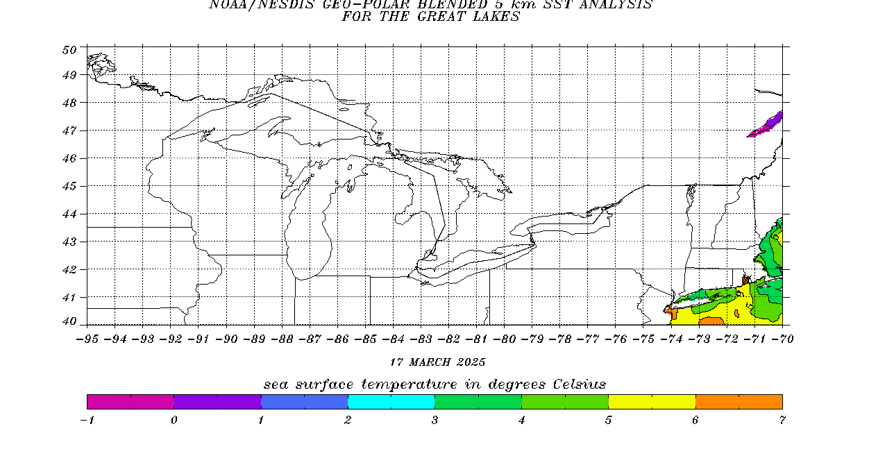
The Gulf temps are really not that favorable for developement...am I wrong?

LINK
Conversion from Celsius to Fahrenheit:
30-86.0
29-84.2
28-82.4
27-80.6
26-78.8
25-77.0
24-75.2
23-73.4
FWIW I was in the boat this morning in Lake Pontchartrain and the water temp was 71.

LINK
Conversion from Celsius to Fahrenheit:
30-86.0
29-84.2
28-82.4
27-80.6
26-78.8
25-77.0
24-75.2
23-73.4
FWIW I was in the boat this morning in Lake Pontchartrain and the water temp was 71.
Posted on 10/4/20 at 6:45 pm to GumboPot
quote:
The Gulf temps are really not that favorable for developement...am I wrong?
Would struggle to make major for sure
Lower temps plus shear likely mean stable to weakening towards landfall
Posted on 10/4/20 at 6:48 pm to Cosmo
If this hurts Baldwin county again I may cry myself to sleep
Posted on 10/4/20 at 6:50 pm to Cosmo
quote:
Lower temps plus shear likely mean stable to weakening towards landfall
I can see strengthening until about 70-100 miles form the coast then it hits the cooler surface temps while pulling in onshore cooler drier air. Just my opinion but at this point the max I see it landing is a cat 2 with the most favorable conditions and most likely landing as strong TS with cat 1 momentum.
Posted on 10/4/20 at 6:51 pm to Cosmo
NHC is very bullish on this early and temps in the Wcab are high enough rn and the environment will become favorable to support a major. Not saying it will be it could become one then ramp down as it approached the continent and possibly dry air gets sucked in
Posted on 10/4/20 at 6:53 pm to rmnldr
quote:
Potential Tropical Cyclone Twenty-Six
...DISTURBANCE JUST SOUTH OF JAMAICA FORECAST TO STRENGTHEN OVER THE NORTHWESTERN CARIBBEAN SEA...
8:00 PM EDT Sun Oct 4
Location: 16.9°N 76.9°W
Moving: WNW at 10 mph
Min pressure: 1007 mb
Max sustained: 35 mph
Posted on 10/4/20 at 7:12 pm to GumboPot
quote:
I can see strengthening until about 70-100 miles form the coast then it hits the cooler surface temps while pulling in onshore cooler drier air.
You're right for the most part, colder water and increasing hostile conditions should certainly have it weakening or at worst steady state at landfall. The effect of the water temp on weakening will be a function of the forward speed. Faster it's moving, less time over the colder water to weaken it.
Posted on 10/4/20 at 7:20 pm to GumboPot
With the way this hurricane season is going I wouldn't even attempt to predict what this will look like at landfall. But yeah, they're being aggressive. Doesn't mean it's wrong though.
I know that I'd rather a weakening hurricane at landfall than a strengthening one.
I know that I'd rather a weakening hurricane at landfall than a strengthening one.
This post was edited on 10/4/20 at 7:22 pm
Posted on 10/4/20 at 7:24 pm to rds dc
So I guess that high went away. 
Posted on 10/4/20 at 7:34 pm to GumboPot
My understanding is that water temps not ideal to support a storm beyond a low level cat 3.
A lot would depend on when things ramp up.
We’d not likely see the last minute ramp up like Sally.
A lot would depend on when things ramp up.
We’d not likely see the last minute ramp up like Sally.
This post was edited on 10/4/20 at 7:39 pm
Posted on 10/4/20 at 7:37 pm to AU_251
quote:
If this hurts Baldwin county again I may cry myself to sleep
Don’t look at the hwrf model. That would really be a shame
Just getting power back, debris removed and then have do it all over again
This post was edited on 10/4/20 at 7:56 pm
Posted on 10/4/20 at 7:57 pm to SlidellCajun
So a weakened storm only lessens the impact of wind damage and storm surge, right? Could still see catastrophic rain falls though.
Posted on 10/4/20 at 7:59 pm to StringedInstruments
Latest HMON and HWRF considerable shift east
I predict a full H cone shift E at 10 pm
I predict a full H cone shift E at 10 pm
This post was edited on 10/4/20 at 8:00 pm
Posted on 10/4/20 at 8:04 pm to Cosmo
The Gamma track and the satellite loop do not compute in my brain.
Is it really supposed to turn SW?
Is it really supposed to turn SW?
Posted on 10/4/20 at 8:06 pm to Cosmo

Still considerable spread in the ensembles. But in consideration of this not even being a depression yet, remarkable consensus of this becoming a hurricane, possibly a major.
This post was edited on 10/4/20 at 8:08 pm
Posted on 10/4/20 at 8:08 pm to TigerNAtux
quote:
The Gamma track and the satellite loop do not compute in my brain.
Is it really supposed to turn SW?
the cold front that's giving us this lovely weather will want to push the low level circulation of Gamma south & west when it gets too close
the mid-level circulation (and perhaps a lot of the associated convection) would be getting pushed north & east (ETA: I believe this is due to the trade winds... but not sure)
This post was edited on 10/4/20 at 8:20 pm
Back to top


 0
0


