




- My Forums
- Tiger Rant
- LSU Recruiting
- SEC Rant
- Saints Talk
- Pelicans Talk
- More Sports Board
- Fantasy Sports
- Golf Board
- Soccer Board
- O-T Lounge
- Tech Board
- Home/Garden Board
- Outdoor Board
- Health/Fitness Board
- Movie/TV Board
- Book Board
- Music Board
- Political Talk
- Money Talk
- Fark Board
- Gaming Board
- Travel Board
- Food/Drink Board
- Ticket Exchange
- TD Help Board
Customize My Forums- View All Forums
- Show Left Links
- Topic Sort Options
- Trending Topics
- Recent Topics
- Active Topics
Started By
Message

1908 map of Baton Rouge
Posted on 9/30/19 at 5:37 am

Posted on 9/30/19 at 5:37 am

 15
15


Posted on 9/30/19 at 5:49 am to DavidTheGnome
The one part of the parish where someone actually thought about how the roads should be laid out.
Posted on 9/30/19 at 5:51 am to DavidTheGnome
What it must have been like to have seen horses and buggies trotting down Winborne Avenue.

Posted on 9/30/19 at 5:52 am to DavidTheGnome
Yes
That would be a USGS Topographic Map
Fire insurance maps by the Sanborn company are far more interesting and much more detailed
That would be a USGS Topographic Map
Fire insurance maps by the Sanborn company are far more interesting and much more detailed
Posted on 9/30/19 at 5:53 am to DavidTheGnome
This one is cooler, has street names. Battle of Baton Rouge on 8/5/1862.



Posted on 9/30/19 at 5:55 am to DavidTheGnome
Would’ve been the perfect time to install that loop I’m always reading about. 
Posted on 9/30/19 at 6:01 am to DavidTheGnome
Crossing the Mississippi River over to Port Allen must have been quite the ordeal in those days. Kinda like today sometimes!
Posted on 9/30/19 at 6:02 am to toosleaux
Breckenridge, CO is named after the Confederate leader of that battle (Breckinridge).
However, citizens of the city changed the spelling to Breckenridge
However, citizens of the city changed the spelling to Breckenridge
This post was edited on 9/30/19 at 6:05 am
Posted on 9/30/19 at 6:04 am to toosleaux
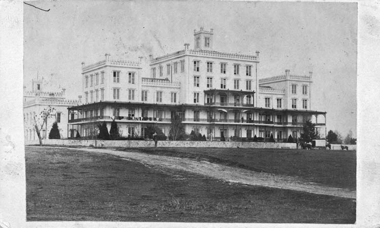
haha The Deaf,Dumb and Blind Asylum is now the Dept of Public Corrections. Not much has changed.

Posted on 9/30/19 at 6:05 am to toosleaux
Is the ‘deaf, dumb, and blind asylum’ still there?

Posted on 9/30/19 at 6:09 am to BabyTac
Posted on 9/30/19 at 6:12 am to BabyTac
quote:
Is the ‘deaf, dumb, and blind asylum’ still there?
Yeah, they meet in the Legislature every Spring.

Posted on 9/30/19 at 6:18 am to BabyTac
quote:And they sure play some mean pinball.
deaf, dumb, and blind asylum’ still there?
Posted on 9/30/19 at 6:19 am to toosleaux
Clay Gut Road became Claycut.
Posted on 9/30/19 at 6:54 am to PiscesTiger
I'm gonna take my horse to Spanish Town Road


Posted on 9/30/19 at 7:18 am to DavidTheGnome
Hey look there’s the plans for the loop

Posted on 9/30/19 at 7:51 am to DavidTheGnome
Standard Oil opened in 1909, so I assume the refinery was under construction when this map was drawn.

Posted on 9/30/19 at 7:52 am to DavidTheGnome
To be fair, that’s the exact road lay out now, just with 20x the people


Posted on 9/30/19 at 7:54 am to toosleaux
quote:
quote:Is the ‘deaf, dumb, and blind asylum’ still there?
Yeah, they meet in the Legislature every Spring.


Posted on 9/30/19 at 7:55 am to DavidTheGnome
It's amazing how much growth the area has seen since Standard Oil/Exxon and the advent of the air conditioning. The Baton Rouge metro area is hovering around a population of 850,000 now, and is easily 20+ miles across.
This post was edited on 9/30/19 at 7:57 am

 Page 1 of 2

Popular
Back to top
 Follow TigerDroppings for LSU Football News