- My Forums
- Tiger Rant
- LSU Recruiting
- SEC Rant
- Saints Talk
- Pelicans Talk
- More Sports Board
- Coaching Changes
- Fantasy Sports
- Golf Board
- Soccer Board
- O-T Lounge
- Tech Board
- Home/Garden Board
- Outdoor Board
- Health/Fitness Board
- Movie/TV Board
- Book Board
- Music Board
- Political Talk
- Money Talk
- Fark Board
- Gaming Board
- Travel Board
- Food/Drink Board
- Ticket Exchange
- TD Help Board
Customize My Forums- View All Forums
- Show Left Links
- Topic Sort Options
- Trending Topics
- Recent Topics
- Active Topics
Started By
Message


 2
2

Posted on 1/10/21 at 8:52 am to Nado Jenkins83
quote:
NWS Lake Charles @NWSLakeCharles
A potent winter storm could cause some light accumulations of snow/sleet tonight into early Monday. Precip in the southern half is expected to remain a cold rain Further north snow and sleet is expected to mix in with the rain, potentially becoming predominately snow at times.
NWS Lake Charles @NWSLakeCharles
As such, some snow accumulations will be possible in east central TX into central LA. The sharp gradient for the rain/snow line may result in accumulations from as little as a trace to up to around 2 inches.

Posted on 1/10/21 at 9:03 am to rt3
Dallas & Ft. Worth baws starting the transition to snow now
there are other transitions that happen in that area... but we're gonna keep this strictly to weather
there are other transitions that happen in that area... but we're gonna keep this strictly to weather
Posted on 1/10/21 at 9:04 am to rt3
Greg Postel talking about the chance of THUNDERSNOW
Posted on 1/10/21 at 9:07 am to rt3
Paul Goodloe in Lubbock saying he's got roughly 3-4 inches of snow there
now he's wasting a perfectly good pooper scooper on snow
now he's wasting a perfectly good pooper scooper on snow
Posted on 1/10/21 at 9:08 am to Nado Jenkins83
quote:
I heard they ordered a dominator
Not that extreme, they just added some bulldozer like plows to the front of the deuce and a half’s.
Posted on 1/10/21 at 9:10 am to Tarps99
quote:
NWS Lake Charles @NWSLakeCharles
Seeing that this might become necessary in our area.. Please send us reports of any type of wintery weather! Thank you to the individuals who have already reported sleet this morning! #txwx #lawx
quote:
NWS San Angelo @NWSSanAngelo
In between making your snowman… we would love to see your snow reports! [snowflake emoji] [snowman emoji] Bust out your ruler or measuring tape, find an unobstructed area of snow, take a picture, and be sure to send them our way by commenting below or tagging us! #txwx #sjtwx

Posted on 1/10/21 at 9:23 am to rt3
quote:
Meteorologist Nick Mikulas
Alright folks. It’s game day. I know some of you are already seeing a little sleet, and that’s fantastic. That’s the lead wave that’s just blazing a trail for the cavalry. The rain snow line is going to be a heartbreaker for some, but it does seem to be nudging just a bit south over the last 24 hours. That makes me more confident that I’ll see snow at my house, which means I think most of the residents of northern Rapides Parish will see snow. Since you all don’t live at my house, or even my general area of this lovely parish, here’s the quick version of how much snow/sleet each parish will get. Or not get. Remember, 0-2 inches means 0 is quite possible. Also remember that 1-5 could mean 0 because I’m occasionally wrong. This is the most likely range of outcomes I can come up with, with the data that’s available.
Rapides… A coating of snow on elevated surfaces to 3 inches.
Grant… A coating of snow on elevated surfaces to 4 inches.
Vernon… A coating of snow on elevated surfaces to 3 inches.
Avoyelles… 0-2 inches.
Beauregard…. 0-2 inches.
Allen… 0-1 inch. Accumulation would be confined to the northern part of the parish.
Evangeline… 0-1 inch. Accumulation would be confined to the northern part of the parish.
St. Landry Parish. 0 to a dusting. Still looks like it’s mainly a rain even for you all.
Sabine Parish… 1-5 inches.
Natchitoches Parish. 1-5 inches.
Winn Parish.. .1-5 inches.
LaSalle Parish… 1-4 inches. Best chance for the high end totals is over the north end of the parish.
Catahoula Parish… dusting to 3 inches.
Concordia Parish… dusting to 3 inches.
In most areas, I’ve upped my totals a bit. High resolution models are showing the potential for some pretty impressive snowfall rates, and I can’t even rule out a few rumbles of thunder with such a dynamic system. This isn’t one of those deals where I’m trying to find a way to squeeze out a few flakes in the area. This could be, and will likely be an impactful winter storm over the northern half of the area at the very least. It’s Louisiana, so it’ll quickly melt, but it could be quite the afternoon and night in some areas.
As is always the case down here, a couple of degrees could make a huge difference. Models still indicate a very weak warm layer aloft, but models are imperfect. If that’s a bit warmer, we get less snow. The reason I’m more confident that usual is that there will most definitely be heavy snow aloft. This should help crush that small warm layer, especially from around Fort Polk to Woodworth, and points north. Also, when the precipitation gets heavier, it will more likely turn to snow, as heavier snow aloft, cools the atmosphere more quickly.
I’ll update things through the day. For now, it looks like bursts of sleet, and perhaps some snow will continue, off and on for the next several hours. Then the main shield of precipitation moves in by late afternoon, and should last a good 12 hours in most spots. It won’t be all snow in most areas, so don’t be stunned to see some rain or sleet for a time, even in areas favored to see heavier totals. Tonight, as this system really gets cranked up, is when the best chance for snow will be. Let’s do this.

Posted on 1/10/21 at 9:34 am to rt3
Starting to get a snow rain mix in Austin
Posted on 1/10/21 at 9:38 am to crazyLSUstudent
What time should we expect snow to start in northshore?

Posted on 1/10/21 at 9:41 am to Fox McCloud
December 2023

Posted on 1/10/21 at 9:50 am to crazyLSUstudent
Snowing a good bit north of Austin. Snow already accumulating on the grass. Roofs and cars already covered.

Posted on 1/10/21 at 9:59 am to Tuscaloosa
Radar showed snow pretty far south into MS and LA this morning. Was that making it to the ground?
Posted on 1/10/21 at 10:00 am to rt3
quote:
in its infinite wisdom... TWC has dubbed this Winter Storm Lana

Posted on 1/10/21 at 10:23 am to rt3
Gone from a mix to big snow flakes in the Dallas area

Posted on 1/10/21 at 10:27 am to OleVaught14
Must be south of 635 cuz i aint seeing SHIIIIITTT

Posted on 1/10/21 at 10:28 am to trussthetruzz
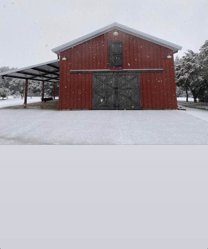
Good morning from central Texas.
Posted on 1/10/21 at 10:28 am to bayoubengals88
quote:
Radar showed snow pretty far south into MS and LA this morning. Was that making it to the ground?
I think what you saw was the same thing I saw. Duke said that it was something to do with the algorithm. Not snow.
Posted on 1/10/21 at 10:29 am to 50_Tiger
Yeah I'm south of 635. It's coming down surprisingly hard here now, already starting to accumulate a bit
Posted on 1/10/21 at 10:30 am to 50_Tiger
where's my snow this is bs

 Page 20 of 33

Popular
Back to top