- My Forums
- Tiger Rant
- LSU Recruiting
- SEC Rant
- Saints Talk
- Pelicans Talk
- More Sports Board
- Coaching Changes
- Fantasy Sports
- Golf Board
- Soccer Board
- O-T Lounge
- Tech Board
- Home/Garden Board
- Outdoor Board
- Health/Fitness Board
- Movie/TV Board
- Book Board
- Music Board
- Political Talk
- Money Talk
- Fark Board
- Gaming Board
- Travel Board
- Food/Drink Board
- Ticket Exchange
- TD Help Board
Customize My Forums- View All Forums
- Show Left Links
- Topic Sort Options
- Trending Topics
- Recent Topics
- Active Topics
Started By
Message
re: Severe Weather for Friday
Posted on 4/9/21 at 5:35 am to LegendInMyMind
Posted on 4/9/21 at 5:35 am to LegendInMyMind
Moderate risk on today’s outlook. The upgrade is based on the threat for severe straight line winds.
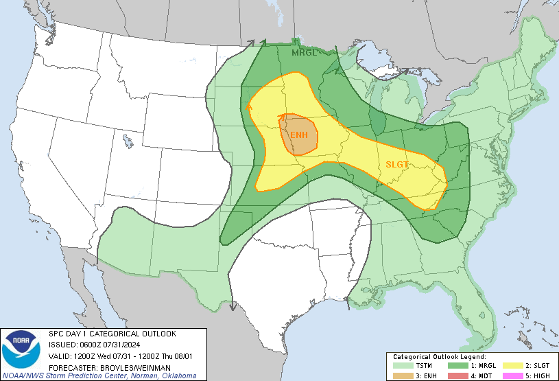
Wind probabilities
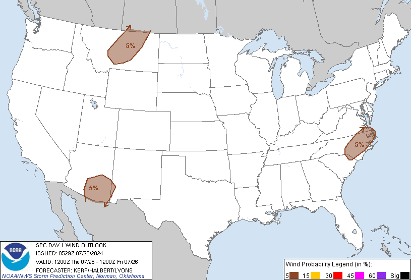
Tornado probabilities
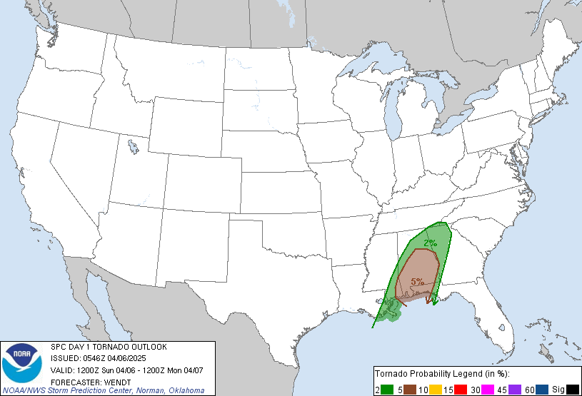
Also note that this outlook runs through 7am CT tomorrow.

Wind probabilities

Tornado probabilities

Also note that this outlook runs through 7am CT tomorrow.
This post was edited on 4/9/21 at 5:48 am
Posted on 4/9/21 at 8:00 am to deltaland
Evaporated over my part of TX. Not a sprinkle, just wind.
Posted on 4/9/21 at 8:34 am to deltaland
Reed reporting from Ruston this morning. Would love to drive 30 minutes to my west to go and meet the guy, but I’m sure he gets bombarded with that kind of stuff all the time
Posted on 4/9/21 at 8:34 am to JawjaTigah
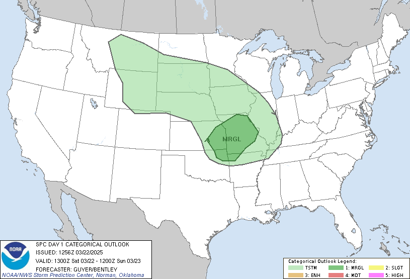
They’ve expanded the moderate risk, it now covers much of southern Arkansas and now crosses into Alabama just barely.

This post was edited on 4/9/21 at 8:35 am
Posted on 4/9/21 at 8:38 am to The Boat
Did they ever confirm a tornado in avoyelles Wednesday nite? Saw some damage around mansura/moreauville
Posted on 4/9/21 at 8:40 am to Roll Tide Ravens
I’ll tell you, this isn’t the look you want to see on the simulated radar with a severe wind threat. That bowing line just looks nasty.


This post was edited on 4/9/21 at 8:41 am
Posted on 4/9/21 at 8:41 am to Roll Tide Ravens
At the tail end that’s a nasty looking cell near Jim Hawthorne’s hometooowwuhhn of Anacoco
Posted on 4/9/21 at 8:42 am to Roll Tide Ravens
The SPC covered about every possible meteorological term they could in that synopsis.
Posted on 4/9/21 at 8:44 am to LegendInMyMind
quote:
The SPC covered about every possible meteorological term they could in that synopsis.
It’s a strange and complex setup, especially depending on exactly where you’re at. 3k NAM suggests central Alabama could see three different clusters of storms through the overnight and early morning hours.
Posted on 4/9/21 at 8:45 am to LegendInMyMind
quote:
The SPC covered about every possible meteorological term they could in that synopsis.
including derecho?
Posted on 4/9/21 at 8:48 am to rt3
quote:
including derecho?
Yep. It is in there. Not in the synopsis, but in the following discussion.
Posted on 4/9/21 at 8:48 am to Roll Tide Ravens
Very large area of possibly very large hail also
Tulsa to DFW to Waco to Jackson to nearly Little Rock and everywhere within like Shreveport and Monroe
11 million population in hatched hail area
10 million population in hatched wind area
3 million population in 10%+ tornado area
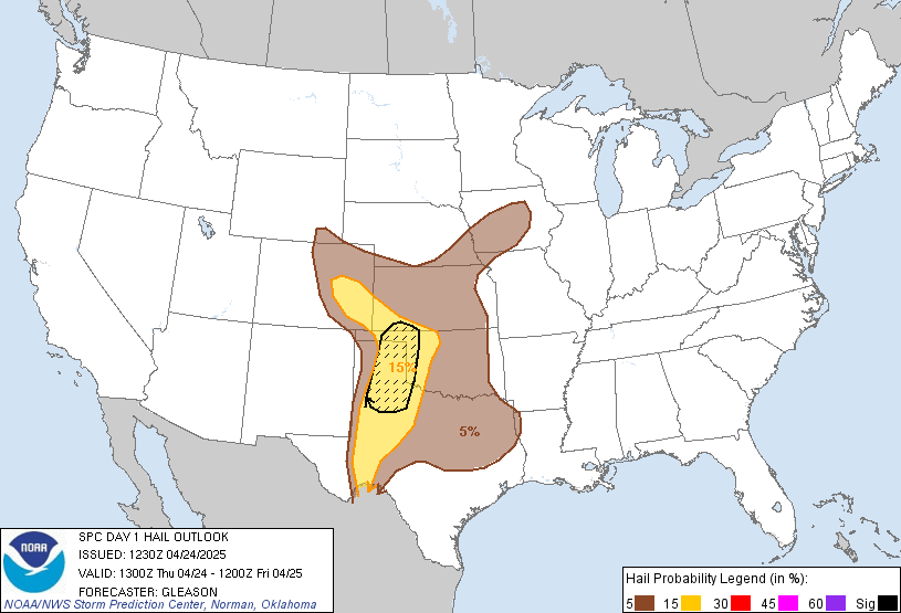
Tulsa to DFW to Waco to Jackson to nearly Little Rock and everywhere within like Shreveport and Monroe
11 million population in hatched hail area
10 million population in hatched wind area
3 million population in 10%+ tornado area

Posted on 4/9/21 at 8:54 am to Cowboyfan89
For whatever reason, it seems like the Southeast US, from East Texas to South Carolina has become the focus of big tornados in recent years.
My brother in Starkville constructed a regular-size room in his house (not just a closet) that can withstand even the most likely major tornado.
My brother in Starkville constructed a regular-size room in his house (not just a closet) that can withstand even the most likely major tornado.
Posted on 4/9/21 at 9:07 am to NorthEndZone
@stormchasernick

quote:
“Whether or not this event will qualify as a derecho is a semantic exercise”
They are speaking directly to Twitter.
This post was edited on 4/9/21 at 9:09 am
Posted on 4/9/21 at 9:10 am to tarzana
quote:
For whatever reason, it seems like the Southeast US, from East Texas to South Carolina has become the focus of big tornados in recent years.
We’ve had big tornadoes in this part of the country for as long as tornado records have been kept. I think we’ve just had some big events in recent years that bring more attention to the fact that this area is also extremely active when it comes to severe weather. With social media and everything now, more people in other places are aware of the tornadoes we have here.
This post was edited on 4/9/21 at 9:13 am
Posted on 4/9/21 at 9:14 am to LegendInMyMind
You know weather Twitter will spend at least 3-4 days arguing over weather this was a derecho or not.
Posted on 4/9/21 at 9:48 am to Roll Tide Ravens
our boy Nick Mik is out of town but still providing updates
quote:
Meteorologist Nick Mikulas
I still can’t believe what I saw out here in Texas last night. 10 minutes of hail from marbles to 2 inches in diameter was a wild sight to see. Unfortunately, it looks like there will be many similar events over a large area today and tonight. But the moral of the story for me is that I obviously shouldn’t storm chase. My best “chase” of the year was stepping out the back door of the hotel.
Locally, here’s what I’m seeing. There could be a few severe storms this afternoon. These would most likely be north of a Natchitoches to Jena line, but it’s possible we see one sneak as far south as Alexandria. The main show comes tonight in the window from 10:00 PM until 5:00 AM. SPC has a good part of the area in a level 3/5 enhanced risk, with a level
4/5 moderate risk just to our northeast. Severe parameters are high as the front approaches, and yet again, this is an “all modes” threat. Damaging wind is the most likely issue, but scattered hail over 1 inch in diameter, and a couple tornadoes are possible. This is an overnight event, which makes it even more dangerous. Garage the cars if possible, have a plan to evacuate mobile homes quickly, or better yet, stay with someone in more substantial shelter if possible. An EF 1 tornado would cause minor damage to a brick home, but could completely destroy a mobile home. Just have a plan, and be ready to move quickly.
I’m still out of town. Heading back tomorrow. I was able to stay on warning duty with the last system, but with this being a late night system, I won’t be for this one. So please, please have a way to get warnings. This could be a higher end event, and you need to have avenues to get the warnings. KALB, weather radio, and even some apps work for up to the minute warnings. I use RadarScope, which is $10 a year, but shows warnings, radar data, and lots of weather nerd stuff. Stay informed, and stay safe!
Popular
Back to top


 2
2


