- My Forums
- Tiger Rant
- LSU Recruiting
- SEC Rant
- Saints Talk
- Pelicans Talk
- More Sports Board
- Fantasy Sports
- Golf Board
- Soccer Board
- O-T Lounge
- Tech Board
- Home/Garden Board
- Outdoor Board
- Health/Fitness Board
- Movie/TV Board
- Book Board
- Music Board
- Political Talk
- Money Talk
- Fark Board
- Gaming Board
- Travel Board
- Food/Drink Board
- Ticket Exchange
- TD Help Board
Customize My Forums- View All Forums
- Show Left Links
- Topic Sort Options
- Trending Topics
- Recent Topics
- Active Topics
Started By
Message
 0
0


Posted on 5/3/21 at 8:06 pm to LSUGrrrl
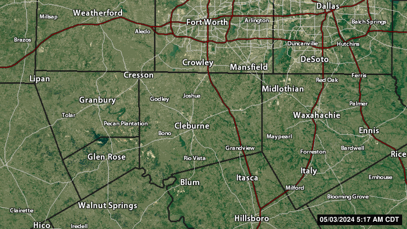
Tornado just east of Grandview

Posted on 5/3/21 at 8:08 pm to Bobby OG Johnson
This storm in Texas looks to have a great hook, but then you realize that the rotation is not where the hook is.

Posted on 5/3/21 at 8:09 pm to Bobby OG Johnson
that's a very colorful map
Posted on 5/3/21 at 8:10 pm to Roll Tide Ravens
Well, now they’ve warned for the part of the storm with the hook.
Posted on 5/3/21 at 8:14 pm to Roll Tide Ravens
Local news saying good possibility of two tornadoes there.
Also the sirens just started up
Also the sirens just started up
This post was edited on 5/3/21 at 8:15 pm
Posted on 5/3/21 at 8:22 pm to OleVaught14
The sirens aren't for tornados anymore apparently. Just "general extreme weather."
This post was edited on 5/3/21 at 8:22 pm
Posted on 5/3/21 at 8:26 pm to wutangfinancial
They are almost always for tornados. They are used occasionally for straight line winds and heavy/large hail but not for just any severe storm.
Posted on 5/3/21 at 8:26 pm to wutangfinancial
quote:
The sirens aren't for tornados anymore apparently. Just "general extreme weather."
True, but there's rotation tracking towards us. Hopefully it falls apart before getting here
Posted on 5/3/21 at 8:30 pm to OleVaught14


Posted on 5/3/21 at 8:40 pm to rt3
I still haven’t gotten a drop of rain or any wind to speak of.
Posted on 5/3/21 at 8:40 pm to rt3
Ellis county / maypearl storm rotation starting to broaden.
Posted on 5/3/21 at 8:44 pm to McCaigBro69
If you’re lucky, that cell will stay south of you and you won’t see a drop. The little we saw formed really quickly and got real fast.
Posted on 5/3/21 at 8:48 pm to OleVaught14
Still keeping the tornado warning for now...
BULLETIN - EAS ACTIVATION REQUESTED
Tornado Warning
National Weather Service Fort Worth TX
845 PM CDT Mon May 3 2021
The National Weather Service in Fort Worth has issued a
* Tornado Warning for...
Central Ellis County in north central Texas...
* Until 930 PM CDT.
* At 845 PM CDT, a severe thunderstorm capable of producing a tornado
was located near Maypearl, or 9 miles south of Waxahachie, moving
east at 25 mph.
HAZARD...Tornado.
SOURCE...Radar indicated rotation.
IMPACT...Flying debris will be dangerous to those caught without
shelter. Mobile homes will be damaged or destroyed.
Damage to roofs, windows, and vehicles will occur. Tree
damage is likely.
* This dangerous storm will be near...
Ennis and Bardwell around 915 PM CDT.
Alma around 930 PM CDT.
Other locations impacted by this tornadic thunderstorm include
Garrett.
This includes the following highways...
Interstate 35E between mile markers 387 and 397.
Interstate 45 between mile markers 244 and 258.
Posted on 5/3/21 at 8:48 pm to LSUGrrrl
Strong rotation and a well-defined hook on this DFW area storm:

Posted on 5/3/21 at 8:50 pm to Roll Tide Ravens
Yeah that southern hook still looks nasty.
Posted on 5/3/21 at 8:50 pm to Roll Tide Ravens
I think there is a debris signature forming on this storm.
Posted on 5/3/21 at 8:51 pm to Roll Tide Ravens
Ah hell hook wrapping up a bit...
ETA - Loop is almost 15 minutes old
ETA - Loop is almost 15 minutes old
This post was edited on 5/3/21 at 8:53 pm
Posted on 5/3/21 at 8:51 pm to OleVaught14
Your cell is tracking straight toward our home on Cedar Creek Lake after it passes you. Hope you stay safe and it starts to weaken.
Posted on 5/3/21 at 8:55 pm to NorthEndZone
Just crossing I-35E a few minutes ago
The NWS warning said I-45 but that is not right (can't blame them - they are very busy tonight)
852 PM CDT Mon May 3 2021
...A TORNADO WARNING REMAINS IN EFFECT UNTIL 930 PM CDT FOR CENTRAL
ELLIS COUNTY...
At 851 PM CDT, a severe thunderstorm capable of producing a tornado
was crossing Interstate 45 between Forreston and Waxahachie, moving
northeast at 25 mph.
HAZARD...Tornado and ping pong ball size hail.
SOURCE...Radar indicated rotation.
IMPACT...Flying debris will be dangerous to those caught without
shelter. Mobile homes will be damaged or destroyed. Damage
to roofs, windows, and vehicles will occur. Tree damage is
likely.
This dangerous storm will be near...
Bardwell around 915 PM CDT.
Ennis around 925 PM CDT.
Palmer and Alma around 930 PM CDT.
Other locations impacted by this tornadic thunderstorm include
Garrett.
This post was edited on 5/3/21 at 8:57 pm

 Page 12 of 28

Popular
Back to top