- My Forums
- Tiger Rant
- LSU Recruiting
- SEC Rant
- Saints Talk
- Pelicans Talk
- More Sports Board
- Fantasy Sports
- Golf Board
- Soccer Board
- O-T Lounge
- Tech Board
- Home/Garden Board
- Outdoor Board
- Health/Fitness Board
- Movie/TV Board
- Book Board
- Music Board
- Political Talk
- Money Talk
- Fark Board
- Gaming Board
- Travel Board
- Food/Drink Board
- Ticket Exchange
- TD Help Board
Customize My Forums- View All Forums
- Show Left Links
- Topic Sort Options
- Trending Topics
- Recent Topics
- Active Topics
Started By
Message
Southeast Severe Weather: February 11-12, 2024
Posted on 2/11/24 at 9:29 am

Posted on 2/11/24 at 9:29 am
Somewhat conditional threat, but worth taking notice of.
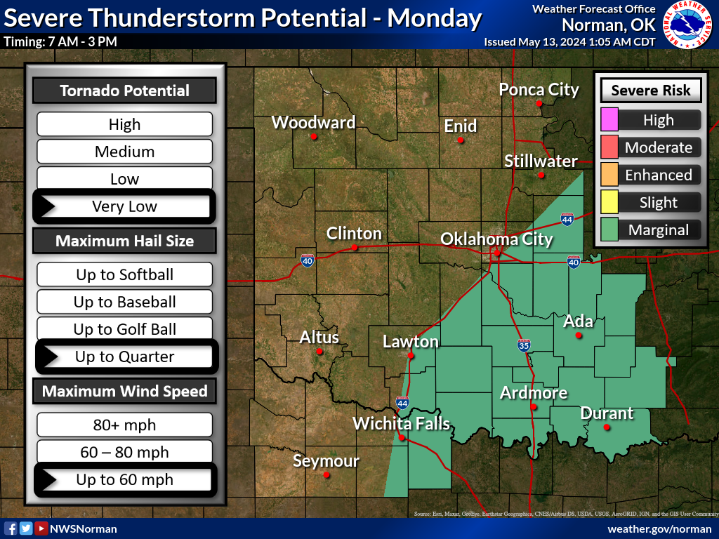
Monday, Feb. 12th:


Monday, Feb. 12th:
This post was edited on 2/12/24 at 5:58 am
 15
15


Posted on 2/11/24 at 9:30 am to Roll Tide Ravens
Close schools during mardis gras
Posted on 2/11/24 at 9:31 am to Roll Tide Ravens
SPC discussion regarding today (Sunday):
Day 1 Convective Outlook
NWS Storm Prediction Center Norman OK
0716 AM CST Sun Feb 11 2024
Valid 111300Z - 121200Z
...THERE IS A SLIGHT RISK OF SEVERE THUNDERSTORMS ACROSS THE GULF
COAST REGION FROM EAST TEXAS TO ALABAMA...
...SUMMARY...
Severe thunderstorms are expected from east/southeast Texas to
portions of the Lower Mississippi Valley and middle Gulf States
today and tonight. Large hail, damaging wind gusts, and a few
tornadoes are all possible.
...Gulf States including East Texas to Alabama/Georgia...
A positively tilted upper trough over the southern Rockies will
eject eastward and increasingly take on a neutral tilt tonight as
cyclonically curved westerlies related to the polar jet strengthen
into the ArkLaTex/Lower Mississippi Valley through Monday morning.
Scattered elevated convection has been persistent along and north of
a west/southwest to east/northeast-oriented boundary since last
evening, with ongoing thunderstorms, some of which have been severe,
moving across northeast Texas early this morning. Some of these
storms may continue to pose a severe-weather risk this morning into
northern Louisiana/far southern Arkansas and possibly toward the
ArkLaMiss, in the form of large hail and possibly locally damaging
winds.
Farther south, although guidance varies regarding the extent of
storms within the warm sector later today, a semi-focused corridor
for deep convective potential into mid/late afternoon will exist
across east Texas into western/northern Louisiana, roughly bounded
north/south by the I-20/I-10 corridors. This will be along a
modestly deepening/northeastward-developing surface wave and the
preceding boundary shifting northward as a warm front. Moderate
buoyancy (1500-2000 J/kg MLCAPE) with minimal convective inhibition
will be prevalent by mid-afternoon along/south of the warm front,
with long hodographs (straight atop the boundary layer) and 50+ kt
effective shear and 150-225 effective SRH. Where warm-sector storms
do develop and mature (higher probability closer to the surface
low/warm front), supercells should be expected, with the potential
for very large hail along with a tornado risk, potentially including
a strong tornado.
Influenced by large scale mass response related to the evolving
upstream upper trough, warm-sector surface-based storms could become
more probable into this evening in vicinity of the advancing surface
low and northward-shifting warm front, within a corridor including
portions of Louisiana/Mississippi into Alabama. This would include
potential for a few tornadoes, damaging winds, and some hail via a
mixed mode of storms including supercells.

Posted on 2/11/24 at 9:32 am to Roll Tide Ravens
Has been torrential in NETx. Shreveport and the LA I20 corridor, you're on deck. It's comin'
Posted on 2/11/24 at 9:58 am to Roll Tide Ravens
Already several tornado warnings north of Houston:

Posted on 2/11/24 at 10:08 am to Roll Tide Ravens
RadarScope is showing Hammond radar online. Not sure if it’s working though

Posted on 2/11/24 at 10:09 am to Roll Tide Ravens

Posted on 2/11/24 at 10:33 am to Suntiger
Woke up to hail in CS this morning. Now the sun is out.
Posted on 2/11/24 at 10:37 am to trussthetruzz
quote:
RadarScope is showing Hammond radar online. Not sure if it’s working though
The RadarScope folks went ahead and put it on there, but the radar not transmitting any data yet. Should be running in the next couple of weeks, though.
Posted on 2/11/24 at 10:39 am to Roll Tide Ravens
It hailed a lot this morning where I live. I never saw so much of it on the ground before
Posted on 2/11/24 at 11:26 am to Roll Tide Ravens
Not dangerous but snow. The temps are within a degree to get rain and/or snow. Some have said up to 15” if temps are just right but most likely in the 4” range. (OKC). They still don’t really know due to temp closeness.
This is from local channel 4 main meteorologist:

This is from local channel 4 main meteorologist:
Posted on 2/11/24 at 11:29 am to OU Guy
quote:
Not dangerous but snow. The temps are within a degree to get rain and/or snow. Some have said up to 15” if temps are just right but most likely in the 4” range. (OKC). They still don’t really know due to temp closeness.
That forecast is one that will make some mets abandon social media for a few days.
This post was edited on 2/11/24 at 11:30 am
Posted on 2/11/24 at 12:07 pm to Roll Tide Ravens
SPC added an enhanced risk for today from parts of eastern Texas, through much of the northern half of Louisiana and much of central Mississippi.

Posted on 2/11/24 at 12:34 pm to Roll Tide Ravens


This post was edited on 2/11/24 at 12:37 pm
Posted on 2/11/24 at 12:39 pm to Roll Tide Ravens
Nasty looking storm heading my way in Inverness
Posted on 2/11/24 at 2:03 pm to Roll Tide Ravens
Nasty line of storms moving across central Mississippi right now. They are currently below severe limits, though.

Posted on 2/11/24 at 4:39 pm to Roll Tide Ravens
Stay safe out there.
Posted on 2/11/24 at 4:50 pm to Roll Tide Ravens
Let's see if those storms along the front from Laurel up through Montgomery get going or more develop into the evening.
To use one of Duke's favorite lines: Never trust a warm front.
To use one of Duke's favorite lines: Never trust a warm front.
This post was edited on 2/11/24 at 4:51 pm
Posted on 2/11/24 at 5:23 pm to Roll Tide Ravens
Keep an eye on that cell south of Vicksburg
Posted on 2/11/24 at 6:06 pm to deltaland


 Page 1 of 3

Popular
Back to top