




- My Forums
- Tiger Rant
- LSU Recruiting
- SEC Rant
- Saints Talk
- Pelicans Talk
- More Sports Board
- Fantasy Sports
- Golf Board
- Soccer Board
- O-T Lounge
- Tech Board
- Home/Garden Board
- Outdoor Board
- Health/Fitness Board
- Movie/TV Board
- Book Board
- Music Board
- Political Talk
- Money Talk
- Fark Board
- Gaming Board
- Travel Board
- Food/Drink Board
- Ticket Exchange
- TD Help Board
Customize My Forums- View All Forums
- Show Left Links
- Topic Sort Options
- Trending Topics
- Recent Topics
- Active Topics
Started By
Message

Paging RDS and our other resident meteorologists
Posted on 4/27/20 at 4:34 pm

Posted on 4/27/20 at 4:34 pm
Overhead a few people saying Central LA/South MS may be in for some more storms on Wednesday. Can any of you confirm this? I come here for my weather info. TIA
 3
3


Posted on 4/27/20 at 4:35 pm to ToulaTiger31
DFW at Level 3 Elevated risk for Wednesday. Should be interesting.
Posted on 4/27/20 at 4:36 pm to ToulaTiger31
Not RDS but seems a squall line will be moving through late Tuesday Night/ Wednesday morning across this area. Damaging winds look to be the main threat.
This post was edited on 4/27/20 at 4:37 pm


Posted on 4/27/20 at 4:37 pm to ToulaTiger31
Marginal risk of severe weather for Wednesday
But since this is the one time this spring the SPC isn't hyping a southeast severe weather event 3 days out it'll probably be the worst one
But since this is the one time this spring the SPC isn't hyping a southeast severe weather event 3 days out it'll probably be the worst one
Posted on 4/27/20 at 4:38 pm to LSUGrrrl
quote:
DFW at Level 3 Elevated risk for Wednesday. Should be interesting.
That's for Tuesday

Posted on 4/27/20 at 4:39 pm to lsuman25
this is for TOMORROW (4/28)
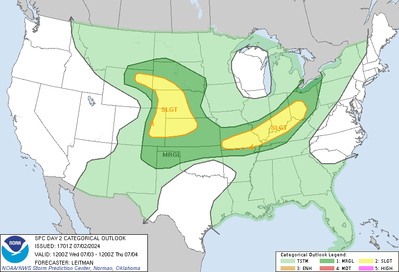
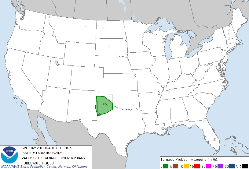
quote:
SPC AC 271741
Day 2 Convective Outlook
NWS Storm Prediction Center Norman OK
1241 PM CDT Mon Apr 27 2020
Valid 281200Z - 291200Z
...THERE IS AN ENHANCED RISK OF SEVERE THUNDERSTORMS ACROSS PORTIONS
OF OK...NORTHERN/EASTERN TX...NORTHEAST LA...WESTERN/CENTRAL
AR...SOUTHWEST MO AND FAR SOUTHEAST KS...
...SUMMARY...
Severe thunderstorms are expected Tuesday across parts of the
southern/central Plains into the lower/mid Mississippi Valley and
Midwest. Scattered large to very large hail, numerous severe wind
gusts (some greater than 65 kt), and a few tornadoes may occur.
...Synopsis...
A potent shortwave trough will deepen as it spreads southeast across
the Plains to the MS Valley on Tuesday. Strong warm advection ahead
of surface low and associated cold front wil bring 60s surface
dewpoints northward across much of the southern Plains and portions
of the Ozarks. Further north near the surface low, tracking east
across IA during the afternoon, dewpoints will generally be in the
50s, though some low 60s F are possible. A plume of very steep
midlevel lapse rates will be in place across the southern Plains and
will aid in strong destabilization from OK/TX eastward toward the
Ozark Plateau. As ascent increases during the afternoon, initial
capping will quickly erode and vigorous thunderstorm development is
expected by late afternoon from southeast KS into northwest OK.
Additional storms will develop during the afternoon near the surface
low/triple point in IA and spread eastward toward southern
WI/northern IL.
...Southern Plains/Ozarks vicinity...
Wind profiles will remain rather veered further south from the
surface low over IA. However, supercells will initially be possible
early in storm evolution. Lapse rates greater than 8 C/km and MLCAPE
values increasing to greater than 2000 J/kg will support vigorous
updrafts capable of very large hail. Some guidance suggests a
secondary low may develop over northwest OK near a bulge in the
dryline. This could help to enhance low level SRH, and an increased
tornado threat with any cells that can maintain a semi-discrete
storm mode. With time, convection is expected to grow upscale into
one or more bowing segments as a low level jet develops during the
early evening and as frontal forcing increases as a cold front
develops southeastward across the southern Plains. Strong low level
windfield and steep low level lapse rates will result in significant
damaging wind potential across portions of the Enhanced risk.
...Mid-MS Valley...
Instability will be weaker than further south due to lower quality
boundary layer moisture. However, backed surface winds near the
surface low and eastward extending warm front will result in a
threat for a few tornadoes. Shear will support supercells capable of
large hail and damaging gusts. Strongest convection will likely
remain close the surface low and the warm frontal boundary as to low
shifts eastward through the evening hours, and strong storms could
persist into the evening hours across parts of northern IL before
diminishing toward Lake Michigan.
..Leitman.. 04/27/2020
CLICK TO GET WUUS02 PTSDY2 PRODUCT
NOTE: THE NEXT DAY 2 OUTLOOK IS SCHEDULED BY 0600Z
Posted on 4/27/20 at 4:39 pm to The Boat
Yep. At 6 am NBCDFW alert said Wednesday. Just checked and now shows Tuesday evening.
Posted on 4/27/20 at 4:41 pm to rt3
this is for WEDNESDAY (4/29)
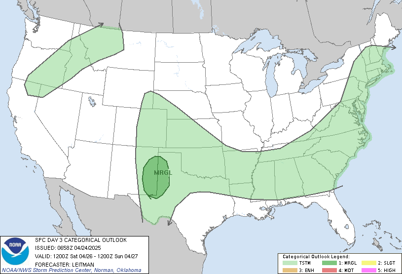
quote:
SPC AC 270730
Day 3 Convective Outlook
NWS Storm Prediction Center Norman OK
0230 AM CDT Mon Apr 27 2020
Valid 291200Z - 301200Z
...THERE IS A MARGINAL RISK OF SEVERE THUNDERSTORMS ACROSS PORTIONS
OF COASTAL TX INTO THE SOUTHEAST...
...SUMMARY...
Isolated strong to severe thunderstorms may occur Wednesday across
portions of coastal Texas into the Southeast.
...Coastal Texas into the Southeast...
A line of storms will probably be ongoing Wednesday morning across
parts of coastal TX into southern LA ahead of a surface cold front.
A lingering strong/gusty wind threat may continue with this
convection before it moves offshore. Farther north, an upper low is
forecast to move from the MS Valley eastward while amplifying
through the period. A mid-level jet should gradually overspread
parts of the lower MS Valley and Southeast through the day. At the
surface, a low should develop slowly eastward over the Great Lakes
region while gradually occluding. A cold front attendant to this low
is forecast to sweep eastward across the OH/TN Valleys and Southeast
on Wednesday, eventually reaching the vicinity of the East Coast by
the end of the period.
Depending on the location and intensity of the morning convection
across the lower MS Valley, there appears to be a window for at
least weak destabilization across parts of the Southeast ahead of
the cold front Wednesday afternoon. This potential appears
relatively greater across southern MS into southern/central AL, the
FL Panhandle, and parts of GA. Strengthening shear through the day
with the mid-level jet overspreading this region would support
organized storms. The main uncertainty precluding higher severe
probabilities for now is the amount of destabilization that may
occur. Regardless, at least an isolated severe risk for mainly large
hail and strong to locally damaging winds appears plausible. This
threat may continue eastward Wednesday evening and overnight
along/ahead of the cold front across parts of northern/central FL,
GA, and SC.
..Gleason.. 04/27/2020
CLICK TO GET WUUS03 PTSDY3 PRODUCT
NOTE: THE NEXT DAY 3 OUTLOOK IS SCHEDULED BY 0730Z


Posted on 4/28/20 at 4:00 pm to rt3
I didnt see a Louisiana weather thread.
Lots of shear with this system moving through Baton Rouge.
Looks like rotation near Clinton and a few other spinups.
Lots of shear with this system moving through Baton Rouge.
Looks like rotation near Clinton and a few other spinups.

Posted on 4/28/20 at 4:31 pm to AutoYes_Clown
Lots of purple in the radar image right now

 Page 1 of 1


Popular
Back to top
 Follow TigerDroppings for LSU Football News