




- My Forums
- Tiger Rant
- LSU Recruiting
- SEC Rant
- Saints Talk
- Pelicans Talk
- More Sports Board
- Fantasy Sports
- Golf Board
- Soccer Board
- O-T Lounge
- Tech Board
- Home/Garden Board
- Outdoor Board
- Health/Fitness Board
- Movie/TV Board
- Book Board
- Music Board
- Political Talk
- Money Talk
- Fark Board
- Gaming Board
- Travel Board
- Food/Drink Board
- Ticket Exchange
- TD Help Board
Customize My Forums- View All Forums
- Show Left Links
- Topic Sort Options
- Trending Topics
- Recent Topics
- Active Topics
Started By
Message
re: Severe weather possible tomorrow.
Posted on 12/23/15 at 3:13 pm to meauxjeaux2

Posted on 12/23/15 at 3:13 pm to meauxjeaux2
another tornado on the ground between Jackson and Meridian.
 1
1


Posted on 12/23/15 at 3:17 pm to meauxjeaux2

Posted on 12/23/15 at 3:17 pm to meauxjeaux2
TORNADO WARNING
MSC027-232145-
/O.NEW.KMEG.TO.W.0012.151223T2100Z-151223T2145Z/
BULLETIN - EAS ACTIVATION REQUESTED
TORNADO WARNING
NATIONAL WEATHER SERVICE MEMPHIS TN
300 PM CST WED DEC 23 2015
THE NATIONAL WEATHER SERVICE IN MEMPHIS HAS ISSUED A
* TORNADO WARNING FOR...
SOUTHEASTERN COAHOMA COUNTY IN NORTHWESTERN MISSISSIPPI...
* UNTIL 345 PM CST
* AT 259 PM CST...]A SEVERE THUNDERSTORM PRODUCING A TORNADO WAS
LOCATED 9 MILES NORTHEAST OF SHELBY...MOVING NORTHEAST AT 55 MPH.
HAZARD...TORNADO AND GOLF BALL SIZE HAIL.
SOURCE...RADAR INDICATED ROTATION.
IMPACT...FLYING DEBRIS WILL BE DANGEROUS TO THOSE CAUGHT WITHOUT
SHELTER. MOBILE HOMES WILL BE DAMAGED OR DESTROYED.
DAMAGE TO ROOFS...WINDOWS AND VEHICLES WILL OCCUR. TREE
DAMAGE IS LIKELY.
* THIS DANGEROUS STORM WILL BE NEAR...
DUBLIN AROUND 310 PM CST.
CLARKSDALE AROUND 315 PM CST.
JONESTOWN AROUND 325 PM CST.
OTHER LOCATIONS IMPACTED BY THIS TORNADIC THUNDERSTORM INCLUDE
BOBO...HOPSON...LYON...COUNTS...LURAND...BEVERLY...MATTSON AND
CLAREMONT.
PRECAUTIONARY/PREPAREDNESS ACTIONS...
THIS TORNADO WARNING REPLACES THE SEVERE THUNDERSTORM WARNING ISSUED
FOR THE SAME AREA.
TAKE COVER NOW! MOVE TO A STORM SHELTER OR AN INTERIOR ROOM ON THE
LOWEST FLOOR OF A STURDY BUILDING. AVOID WINDOWS. IF YOU ARE
OUTDOORS...IN A MOBILE HOME...OR IN A VEHICLE...MOVE TO THE CLOSEST
SUBSTANTIAL SHELTER AND PROTECT YOURSELF FROM FLYING DEBRIS.
MSC027-232145-
/O.NEW.KMEG.TO.W.0012.151223T2100Z-151223T2145Z/
BULLETIN - EAS ACTIVATION REQUESTED
TORNADO WARNING
NATIONAL WEATHER SERVICE MEMPHIS TN
300 PM CST WED DEC 23 2015
THE NATIONAL WEATHER SERVICE IN MEMPHIS HAS ISSUED A
* TORNADO WARNING FOR...
SOUTHEASTERN COAHOMA COUNTY IN NORTHWESTERN MISSISSIPPI...
* UNTIL 345 PM CST
* AT 259 PM CST...]A SEVERE THUNDERSTORM PRODUCING A TORNADO WAS
LOCATED 9 MILES NORTHEAST OF SHELBY...MOVING NORTHEAST AT 55 MPH.
HAZARD...TORNADO AND GOLF BALL SIZE HAIL.
SOURCE...RADAR INDICATED ROTATION.
IMPACT...FLYING DEBRIS WILL BE DANGEROUS TO THOSE CAUGHT WITHOUT
SHELTER. MOBILE HOMES WILL BE DAMAGED OR DESTROYED.
DAMAGE TO ROOFS...WINDOWS AND VEHICLES WILL OCCUR. TREE
DAMAGE IS LIKELY.
* THIS DANGEROUS STORM WILL BE NEAR...
DUBLIN AROUND 310 PM CST.
CLARKSDALE AROUND 315 PM CST.
JONESTOWN AROUND 325 PM CST.
OTHER LOCATIONS IMPACTED BY THIS TORNADIC THUNDERSTORM INCLUDE
BOBO...HOPSON...LYON...COUNTS...LURAND...BEVERLY...MATTSON AND
CLAREMONT.
PRECAUTIONARY/PREPAREDNESS ACTIONS...
THIS TORNADO WARNING REPLACES THE SEVERE THUNDERSTORM WARNING ISSUED
FOR THE SAME AREA.
TAKE COVER NOW! MOVE TO A STORM SHELTER OR AN INTERIOR ROOM ON THE
LOWEST FLOOR OF A STURDY BUILDING. AVOID WINDOWS. IF YOU ARE
OUTDOORS...IN A MOBILE HOME...OR IN A VEHICLE...MOVE TO THE CLOSEST
SUBSTANTIAL SHELTER AND PROTECT YOURSELF FROM FLYING DEBRIS.
Posted on 12/23/15 at 3:23 pm to dukke v
quote:
But her best bet is to go south to Houston and then west on I-10..
You idiot. He was referring to you saying head west I-10. She would need to head east d i p s h i t.

Posted on 12/23/15 at 3:27 pm to purpleleaf
Decent sized tornado currenlty on the Weather channel going through Mississippi.


Posted on 12/23/15 at 3:27 pm to purpleleaf
quote:
28storms.com ?@28storms 6m6 minutes ago
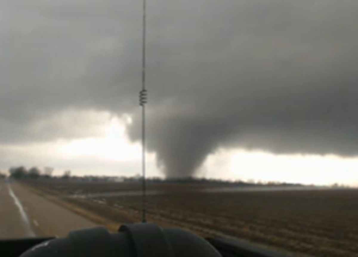
#TORNADO still on the ground east of Clarksdale, MS moving NE at 55 MPH (via Minuteman Disaster live stream)
Posted on 12/23/15 at 3:27 pm to purpleleaf
So I am flying into MSY tomorrow morning at like 10:15ish AM.
Should I be looking out for postponed flights or tornadoes out the airplane windows?
Should I be looking out for postponed flights or tornadoes out the airplane windows?
Posted on 12/23/15 at 3:29 pm to purpleleaf
Large wedge on ground heading toward Marks, MS.
Near intersection of US Hwy 278 and MS highway 3.
Take cover if near there.
Near intersection of US Hwy 278 and MS highway 3.
Take cover if near there.


Posted on 12/23/15 at 3:38 pm to NorthEndZone
Be careful
Posted on 12/23/15 at 3:42 pm to NorthEndZone
Posted on 12/23/15 at 3:51 pm to NorthEndZone
Approaching Sardis and Como near US 51 and I-55
Posted on 12/23/15 at 3:56 pm to meauxjeaux2
holy shite that's a scary video right now. It's headed right for them in Sardis

Posted on 12/23/15 at 3:58 pm to meauxjeaux2
Holy shite that one was within a mile
ETA: just flipped an 18 wheeler
ETA: just flipped an 18 wheeler
This post was edited on 12/23/15 at 4:00 pm
Posted on 12/23/15 at 4:15 pm to Mullet Flap

 Page 5 of 5


Popular
Back to top
 Follow TigerDroppings for LSU Football News