- My Forums
- Tiger Rant
- LSU Recruiting
- SEC Rant
- Saints Talk
- Pelicans Talk
- More Sports Board
- Fantasy Sports
- Golf Board
- Soccer Board
- O-T Lounge
- Tech Board
- Home/Garden Board
- Outdoor Board
- Health/Fitness Board
- Movie/TV Board
- Book Board
- Music Board
- Political Talk
- Money Talk
- Fark Board
- Gaming Board
- Travel Board
- Food/Drink Board
- Ticket Exchange
- TD Help Board
Customize My Forums- View All Forums
- Show Left Links
- Topic Sort Options
- Trending Topics
- Recent Topics
- Active Topics
Started By
Message
re: Severe Weather: Southern Plains & Mid-South to the Great Lakes - May 21-23, 2024
Posted on 5/22/24 at 2:26 pm to chinhoyang
Posted on 5/22/24 at 2:26 pm to chinhoyang
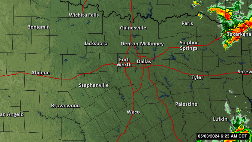
Might be some hail near The Colony based on that radar.
 2
2

Posted on 5/22/24 at 2:33 pm to NorthEndZone
Loading Twitter/X Embed...
If tweet fails to load, click here. And they followed with this:
quote:
We understand there is a lot of chatter about ratings for various reasons.
Please understand that as damage severity (and by virtue, tor rating) increases, extreme care is taken to ensure assessments are accurate and thorough.
They're the first office I've seen actually address what they knew would be the fallout if that tornado earns an EF3 rating.
Posted on 5/22/24 at 3:05 pm to NorthEndZone
Nasty looking supercell west of Brownwood, TX is now tornado warned for radar indicated rotation.
quote:
BULLETIN - EAS ACTIVATION REQUESTED
Tornado Warning
National Weather Service San Angelo TX
257 PM CDT Wed May 22 2024
The National Weather Service in San Angelo has issued a
* Tornado Warning for...
West central Brown County in west central Texas...
East central Coleman County in west central Texas...
* Until 345 PM CDT.
* At 257 PM CDT, a severe thunderstorm capable of producing a tornado
was located near Valera, moving east at 35 mph.
HAZARD...Tornado and tennis ball size hail.
SOURCE...Radar indicated rotation.
IMPACT...Flying debris will be dangerous to those caught without
shelter. Mobile homes will be damaged or destroyed.
Damage to roofs, windows, and vehicles will occur. Tree
damage is likely.
* This dangerous storm will be near...
Coleman and Santa Anna around 300 PM CDT.
Bangs around 315 PM CDT.
Lake Brownwood around 320 PM CDT.
Lake Brownwood Near Thrifty around 325 PM CDT.
Other locations impacted by this tornadic thunderstorm include Fisk,
Thrifty, and Hords Creek Reservoir.
This post was edited on 5/22/24 at 3:11 pm

 Page 1 of 1


Popular
Back to top