- My Forums
- Tiger Rant
- LSU Recruiting
- SEC Rant
- Saints Talk
- Pelicans Talk
- More Sports Board
- Fantasy Sports
- Golf Board
- Soccer Board
- O-T Lounge
- Tech Board
- Home/Garden Board
- Outdoor Board
- Health/Fitness Board
- Movie/TV Board
- Book Board
- Music Board
- Political Talk
- Money Talk
- Fark Board
- Gaming Board
- Travel Board
- Food/Drink Board
- Ticket Exchange
- TD Help Board
Customize My Forums- View All Forums
- Show Left Links
- Topic Sort Options
- Trending Topics
- Recent Topics
- Active Topics
Started By
Message
re: Weather Experts tOT... Tornado Threat today & tomorrow?
Posted on 2/5/20 at 11:57 am to rt3

Posted on 2/5/20 at 11:57 am to rt3
New tornado watch:
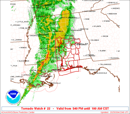
URGENT - IMMEDIATE BROADCAST REQUESTED
Tornado Watch Number 22
NWS Storm Prediction Center Norman OK
1150 AM CST Wed Feb 5 2020
The NWS Storm Prediction Center has issued a
* Tornado Watch for portions of
Central Louisiana
Central and Southwest Mississippi
* Effective this Wednesday morning and evening from 1150 AM until
600 PM CST.
* Primary threats include...
A few tornadoes likely with a couple intense tornadoes possible
Scattered damaging wind gusts to 70 mph possible
Isolated large hail events to 1.5 inches in diameter possible
SUMMARY...Thunderstorms are expected to continue to develop over
central Louisiana this afternoon and spread northeastward across the
watch area. A few supercell storms are possible, capable of
damaging winds and tornadoes.
 1
1

Posted on 2/5/20 at 12:13 pm to Roll Tide Ravens
quote:
URGENT - IMMEDIATE BROADCAST REQUESTED Tornado Watch Number 22 NWS Storm Prediction Center Norman OK 1150 AM CST Wed Feb 5 2020 The NWS Storm Prediction Center has issued a * Tornado Watch for portions of Central Louisiana Central and Southwest Mississippi * Effective this Wednesday morning and evening from 1150 AM until 600 PM CST. * Primary threats include... A few tornadoes likely with a couple intense tornadoes possible Scattered damaging wind gusts to 70 mph possible Isolated large hail events to 1.5 inches in diameter possible SUMMARY...Thunderstorms are expected to continue to develop over central Louisiana this afternoon and spread northeastward across the watch area. A few supercell storms are possible, capable of damaging winds and tornadoes.
I don’t think shite is going to happen.
In the meantime while you’re monitoring the radar, notice how these storms seem as if they are developing out of thin air around the Houston area, then moving northeast.
Later in the day and into tomorrow, we’ll likely notice the same trend from Jackson and Biloxi area.
It’s weird as shite.

 Page 1 of 1


Popular
Back to top