- My Forums
- Tiger Rant
- LSU Recruiting
- SEC Rant
- Saints Talk
- Pelicans Talk
- More Sports Board
- Fantasy Sports
- Golf Board
- Soccer Board
- O-T Lounge
- Tech Board
- Home/Garden Board
- Outdoor Board
- Health/Fitness Board
- Movie/TV Board
- Book Board
- Music Board
- Political Talk
- Money Talk
- Fark Board
- Gaming Board
- Travel Board
- Food/Drink Board
- Ticket Exchange
- TD Help Board
Customize My Forums- View All Forums
- Show Left Links
- Topic Sort Options
- Trending Topics
- Recent Topics
- Active Topics
Started By
Message
re: Severe Weather: Southern Plains & Mid-South to the Great Lakes - May 21-23, 2024
Posted on 5/22/24 at 3:51 pm to NorthEndZone
Posted on 5/22/24 at 3:51 pm to NorthEndZone
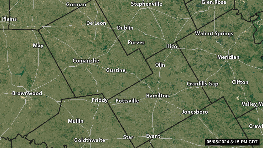
The one approaching Brownwood is only Severe T-Storm now but large hail.
quote:
342 PM CDT Wed May 22 2024
The National Weather Service in San Angelo has issued a
* Severe Thunderstorm Warning for...
Brown County in west central Texas...
Northeastern Coleman County in west central Texas...
* Until 445 PM CDT.
* At 342 PM CDT, a severe thunderstorm was located over Thrifty, or
over Lake Brownwood, moving east at 30 mph.
HAZARD...Tennis ball size hail and 60 mph wind gusts.
SOURCE...Radar indicated.
IMPACT...People and animals outdoors will be injured. Expect hail
damage to roofs, siding, windows, and vehicles. Expect
wind damage to roofs, siding, and trees.
* This severe thunderstorm will be near...
Brownwood, Early, Bangs, Lake Brownwood Near Thrifty, Lake
Brownwood State Park, and Lake Brownwood around 345 PM CDT.
Camp Bowie around 400 PM CDT.
Blanket around 405 PM CDT.
Zephyr around 410 PM CDT.
Other locations impacted by this severe thunderstorm include Owens
and Thrifty.
 0
0


 Page 1 of 1


Popular
Back to top