




- My Forums
- Tiger Rant
- LSU Recruiting
- SEC Rant
- Saints Talk
- Pelicans Talk
- More Sports Board
- Fantasy Sports
- Golf Board
- Soccer Board
- O-T Lounge
- Tech Board
- Home/Garden Board
- Outdoor Board
- Health/Fitness Board
- Movie/TV Board
- Book Board
- Music Board
- Political Talk
- Money Talk
- Fark Board
- Gaming Board
- Travel Board
- Food/Drink Board
- Ticket Exchange
- TD Help Board
Customize My Forums- View All Forums
- Show Left Links
- Topic Sort Options
- Trending Topics
- Recent Topics
- Active Topics
Started By
Message

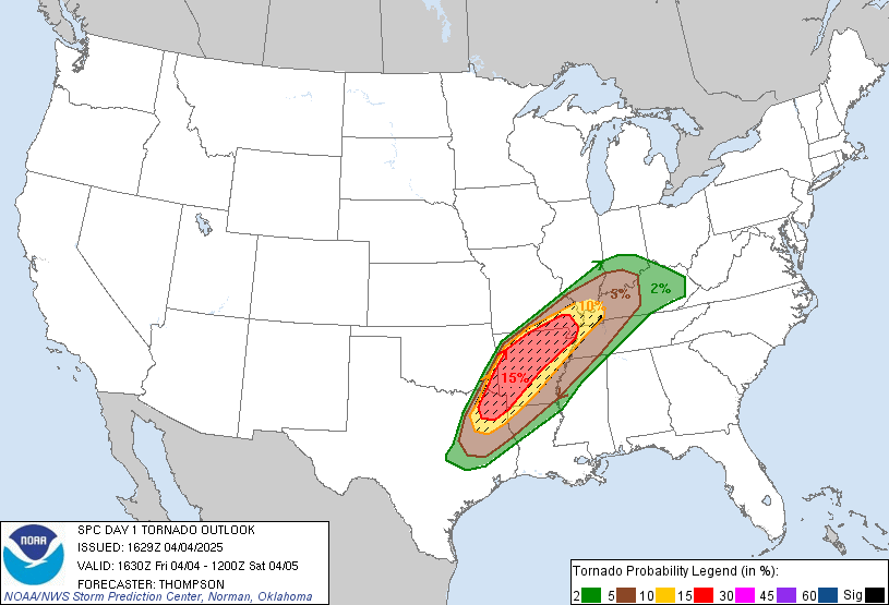
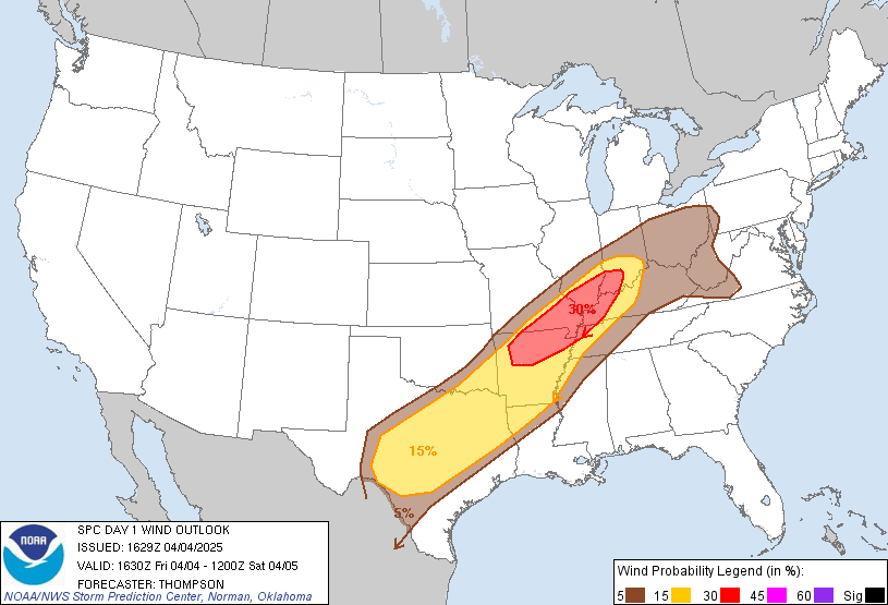
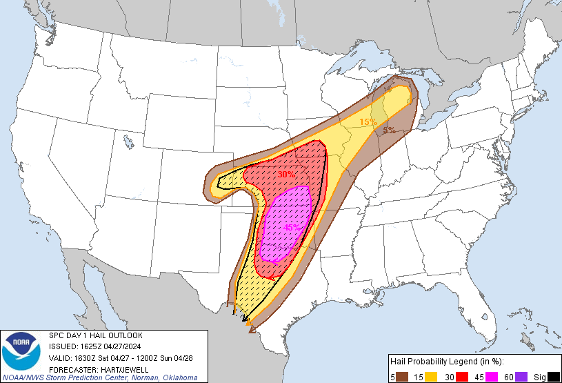
Tornadoes, wind, hail today in NW Arkansas, NE Oklahoma, S Missouri, KY,TN, IL, IN
Posted on 5/27/17 at 12:03 pm

Posted on 5/27/17 at 12:03 pm
It appears likely that clusters of intense thunderstorms will form
by mid afternoon over parts of southeast KS/western MO/far northeast
OK, in vicinity of remnant boundaries and where extreme instability
is present. A potent combination of MLCAPE values over 5000 J/kg
and effective helicity of 200-300 m2/s2 suggests that initial storms
will likely become supercellular with a risk of giant hail and
tornadoes (perhaps strong). An evolution toward bow/lewp structures
is indicated by all model solutions, with one or more fast-moving
bow echoes likely to track from southern MO into western KY this
evening. This potential derecho would result in widespread and
potentially significant wind damage.
Initiation of thunderstorms farther southwest into OK is less
certain due to a strong cap and subtle forcing, but those storms
that form will also likely become supercellular with a risk of very
large hail and a few tornadoes. These storms may spread into parts
of AR after dark.
TL;DR version: It's coming. Watch the skies and take cover before it's too late. Stay safe!
by mid afternoon over parts of southeast KS/western MO/far northeast
OK, in vicinity of remnant boundaries and where extreme instability
is present. A potent combination of MLCAPE values over 5000 J/kg
and effective helicity of 200-300 m2/s2 suggests that initial storms
will likely become supercellular with a risk of giant hail and
tornadoes (perhaps strong). An evolution toward bow/lewp structures
is indicated by all model solutions, with one or more fast-moving
bow echoes likely to track from southern MO into western KY this
evening. This potential derecho would result in widespread and
potentially significant wind damage.
Initiation of thunderstorms farther southwest into OK is less
certain due to a strong cap and subtle forcing, but those storms
that form will also likely become supercellular with a risk of very
large hail and a few tornadoes. These storms may spread into parts
of AR after dark.
TL;DR version: It's coming. Watch the skies and take cover before it's too late. Stay safe!
 3
3



Posted on 5/27/17 at 1:20 pm to NorthEndZone
Any of y'all see that derecho east of KC. Looks like 100 mph winds 
Posted on 5/27/17 at 1:27 pm to NorthEndZone
Great. Lost power for 2 days last week when the windstorm whipped they the St. Louis area. This storm might be even more powerful

Posted on 5/27/17 at 1:28 pm to NorthEndZone
Got our safe room ready here in Central Arkansas just in case.
Posted on 5/27/17 at 1:32 pm to Chatagnier
quote:
that derecho east of KC
Severe Weather Statement
National Weather Service Kansas City/Pleasant Hill MO
124 PM CDT SAT MAY 27 2017
MOC083-101-107-271845-
/O.CON.KEAX.SV.W.0080.000000T0000Z-170527T1845Z/
Henry MO-Lafayette MO-Johnson MO-
124 PM CDT SAT MAY 27 2017
...A SEVERE THUNDERSTORM WARNING REMAINS IN EFFECT UNTIL 145 PM CDT
FOR HENRY...SOUTHEASTERN LAFAYETTE AND JOHNSON COUNTIES...
At 124 PM CDT, severe thunderstorms were located along a line
extending from near Mayview to near Warrensburg to near Clinton,
moving east at 40 mph.
HAZARD...Two inch hail and 70 mph wind gusts.
SOURCE...Trained weather spotters.
IMPACT...People and animals outdoors will be injured. Expect hail
damage to roofs, siding, windows, and vehicles. Expect
considerable tree damage. Wind damage is also likely to
mobile homes, roofs, and outbuildings.
Locations impacted include...
Warrensburg, Clinton, Higginsville, Windsor, Knob Noster, Concordia,
Whiteman Air Force Base, Leeton, Urich, Calhoun, Deepwater,
Chilhowee, Mayview, Whiteman Afb, Coal, Emma, Brownington, Aullville,
Blairstown and Tightwad.
This includes Interstate 70 in Missouri between mile markers 43 and
62.
PRECAUTIONARY/PREPAREDNESS ACTIONS...
For your protection move to an interior room on the lowest floor of a
building.
&&
A tornado watch remains in effect until 700 PM CDT for central and
west central Missouri.
LAT...LON 3828 9407 3844 9407 3871 9384 3906 9386
3907 9349 3821 9352
TIME...MOT...LOC 1824Z 270DEG 36KT 3899 9384 3872 9375 3834 9386
HAIL...2.00IN
WIND...70MPH
$$
Blair

 Page 1 of 1


Popular
Back to top
 Follow TigerDroppings for LSU Football News