- My Forums
- Tiger Rant
- LSU Recruiting
- SEC Rant
- Saints Talk
- Pelicans Talk
- More Sports Board
- Fantasy Sports
- Golf Board
- Soccer Board
- O-T Lounge
- Tech Board
- Home/Garden Board
- Outdoor Board
- Health/Fitness Board
- Movie/TV Board
- Book Board
- Music Board
- Political Talk
- Money Talk
- Fark Board
- Gaming Board
- Travel Board
- Food/Drink Board
- Ticket Exchange
- TD Help Board
Customize My Forums- View All Forums
- Show Left Links
- Topic Sort Options
- Trending Topics
- Recent Topics
- Active Topics
Started By
Message
Posted on 8/30/16 at 10:00 am to slackster
quote:
but you're being disingenuous if you're insinuating that the NHC or other real meteorologists are simply clueless.
Never said that. Nor did I insinuate anything about the NHC.
The models are what they are based on computational limitations of our time. Not idiots at the NHC. Those guys are brilliant, FWIW.
However, I do firmly believe that the deficiencies in the models are not always genuinely presented. Especially by the weekend professionals.
This post was edited on 8/30/16 at 10:11 am
Posted on 8/30/16 at 10:01 am to bayoudude
Exactly.
The good ole Re# has applications in a lot of fields.
The good ole Re# has applications in a lot of fields.
Posted on 8/30/16 at 10:02 am to Duke
quote:
Of course, just because a model isn't perfect doesn't mean it is not useful.
I never said they weren't useful. Just oversold. Especially in this thread.
Hell, they've been talking about this storm since it was 500 miles east of Cuba
As the storm builds, and it becomes more cyclonic, ordered, high speed, and full of hate, all of the models will behave better. It's what they were derived to predict.
Posted on 8/30/16 at 10:05 am to Duke
quote:
He doesn't need to be a met to know that stuff. It's fluids.
What I had assumed as well.
But I throw out the word 'diffusion' and all hell breaks loose.
Posted on 8/30/16 at 10:06 am to CFDoc
I appreciate your attempt to educate us on all of that, but it's a bit too heavy for most of us non-meteorologists. But still, we can learn something from your posts that we didn't know before, and better appreciate the science of the weather.
Posted on 8/30/16 at 10:06 am to CFDoc
Yeah, of course.
When I model watch, I'm just really looking for what will steer the storm. Where is the Bermuda High predicted to be in place? Are there other Hs that will act as a blocker? Is there an upper or mid level feature that will retard development or create a weakness around the H?
Until it gets deeper, there's not much more you can derive.
Posted on 8/30/16 at 10:09 am to CFDoc
quote:
But I throw out the word 'diffusion' and all hell breaks loose.
I got NAM style flashbacks to fluids and transport, so I was one of em fwiw.
Posted on 8/30/16 at 10:16 am to Duke
So tell me about this high that's supposed to turn this puppy to the East ... is it coming or not???
Posted on 8/30/16 at 10:19 am to tiger91
this storm is not even heading NW yet and it is supposed to turn by this afternoon according to the track
Posted on 8/30/16 at 10:19 am to G Vice
quote:
I appreciate your attempt to educate us on all of that, but it's a bit too heavy for most of us non-meteorologists. But still, we can learn something from your posts that we didn't know before, and better appreciate the science of the weather.
It's not too heavy to understand, just a tad technical.
Basically it assumes the numerator of the Re is so much greater (interia) than the denominator (diffusive) that it's ignored to simplify the model. It's a good assumption on a stronger storm, but may not hold totally true on a weak low like 99L/TD9. It's a reason why models struggle more with open waves and depressions as compared to an existing hurricane.
Posted on 8/30/16 at 10:22 am to tiger91
Haven't really checked out the maps this morning.
My understanding was there's a high building over Texas that was going to shift east over La. There's a high pressure hanging out over the Atlantic coast but also a low on its periphery. That should allow a weakness for the storm to move through over Florida when the high starts pushing on it.
My understanding was there's a high building over Texas that was going to shift east over La. There's a high pressure hanging out over the Atlantic coast but also a low on its periphery. That should allow a weakness for the storm to move through over Florida when the high starts pushing on it.
Posted on 8/30/16 at 10:31 am to Chad504boy
WWL has it going to Panama City now fwiw
Posted on 8/30/16 at 10:32 am to Duke
interpret this ... I'm weather stupid.
*gotta scroll down and click on FRONTS on the right side ... didn't link the page as I was looking at it*
*gotta scroll down and click on FRONTS on the right side ... didn't link the page as I was looking at it*
This post was edited on 8/30/16 at 10:34 am
Posted on 8/30/16 at 10:35 am to tiger91
this is why I dont trust the weather man


This post was edited on 8/30/16 at 10:36 am
Posted on 8/30/16 at 10:36 am to tke857
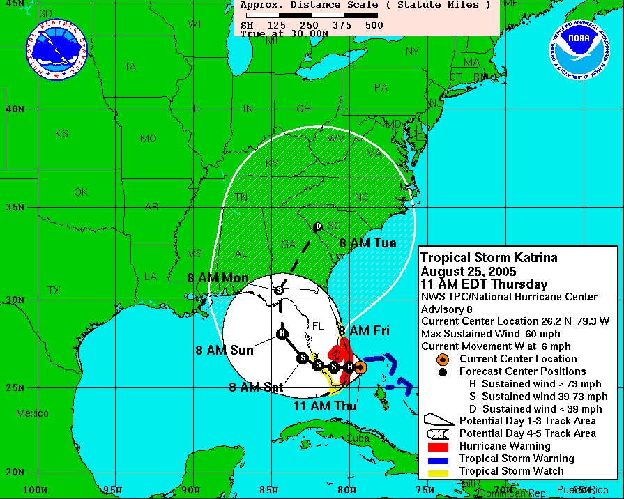
so the cone missed by 25 miles? 
Posted on 8/30/16 at 10:37 am to CFDoc
Yeah there are times when the hobbyists pick the model with their favorite outcome and tout it, but I think this thread has had a good balance of awareness and practicality.
Posted on 8/30/16 at 10:39 am to PhillyTiger90
my guess is the flora bama border..
Posted on 8/30/16 at 10:46 am to tke857
quote:
Current movement: WNW at 6 mph

This post was edited on 8/30/16 at 10:47 am
Popular
Back to top


 1
1


