- My Forums
- Tiger Rant
- LSU Recruiting
- SEC Rant
- Saints Talk
- Pelicans Talk
- More Sports Board
- Fantasy Sports
- Golf Board
- Soccer Board
- O-T Lounge
- Tech Board
- Home/Garden Board
- Outdoor Board
- Health/Fitness Board
- Movie/TV Board
- Book Board
- Music Board
- Political Talk
- Money Talk
- Fark Board
- Gaming Board
- Travel Board
- Food/Drink Board
- Ticket Exchange
- TD Help Board
Customize My Forums- View All Forums
- Show Left Links
- Topic Sort Options
- Trending Topics
- Recent Topics
- Active Topics
Started By
Message
re: Hurricane Season - Nicole only 2nd Cat 3 for Bermuda
Posted on 8/22/16 at 3:40 pm to GEAUXmedic
Posted on 8/22/16 at 3:40 pm to GEAUXmedic
TD 7 has formed well out in the Atlantic
 1
1

Posted on 8/22/16 at 3:45 pm to GEAUXmedic
Storm surge would absolutely frick the Tampa area.
Posted on 8/22/16 at 8:52 pm to NewNameAgain
I'll admit 99L models are making me a little nervous today.
Posted on 8/22/16 at 9:38 pm to NewNameAgain
This state is truly cursed if we get a direct hit.
Posted on 8/22/16 at 9:40 pm to lsuman25
quote:
TD 7 has formed well out in the Atlantic
Now upgraded to TS Gaston, no threat to land.
This post was edited on 8/22/16 at 9:41 pm
Posted on 8/22/16 at 9:47 pm to NewNameAgain
That's a large percentage of the models bringing it over the Florida peninsula.
Posted on 8/22/16 at 9:55 pm to OldSouth
It's actually funny because this is the one time where you want to see it turn into a hurricane before it gets near Florida because it would get sucked out to open sea. It has too much dry air and it's possible even more gets pulled down to it which COULD be a good thing but also another problem is it might stall near Florida sucking up power which would be really bad. Since it's weak and will likely remain so it's going to stay on a west track which is bad for Florida and Louisiana.
Best thing we can hope for is it just gets ripped up at some point before it can form. European model has it having decent circulation by around Sunday near Florida.
Best thing we can hope for is it just gets ripped up at some point before it can form. European model has it having decent circulation by around Sunday near Florida.
This post was edited on 8/22/16 at 9:56 pm
Posted on 8/22/16 at 10:01 pm to OldSouth
quote:
That's a large percentage of the models bringing it over the Florida peninsula.
I'm no meteorologist, but it looks like the initial location is quite a bit to the north of the models. Obviously that is a long way off but it could mean a more northward track across Florida.
Posted on 8/22/16 at 10:07 pm to slackster
I am worried that the models are still under-estimating the ridge. They have trended stronger and stronger with that ridge and some of the models often break down ridges too quickly. I could see this making it further west which would put Louisiana on notice. I won't worry too much, though, the models can't even agree if this will get its act together or not.
This post was edited on 8/22/16 at 10:10 pm
Posted on 8/22/16 at 10:20 pm to OldSouth
quote:
That's a large percentage of the models bringing it over the Florida peninsula.
That image is from the GEFS, it only has 3 members that really develop the system. That is a pretty weak signal for an ensemble model. The Euro EPS also has a few members that develop the system but, once again, that is a pretty weak signal.
99L ingested a good bit of dry air and that shows up pretty nicely in the 18z HWRF cross section at 00hr but the HWRF still goes on to blow 99L up. I'm still not convinced the HWRF handles the upper levels properly beyond 2 or 3 days (I've had discussion with the developers about this) and it appears to be doing it again. By 126hr the HWRF has a nearly perfect anticyclone over the top of 99L while the other models show a upper level trough in the area producing shear.
I still remain skeptical that anything will come of 99L but it is certainly worth watching since the general pattern could eventually steer it towards the Gulf.

Posted on 8/22/16 at 10:41 pm to rds dc


Posted on 8/23/16 at 1:42 am to Athis

euro still has 99L strengthening and making landfall in florida and into the gulf.
eta:


This post was edited on 8/23/16 at 1:48 am
Posted on 8/23/16 at 1:49 am to Athis
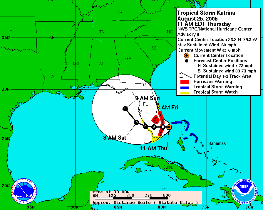
Well this looks familiar.

Posted on 8/23/16 at 1:52 am to GEAUXmedic
you mean like...?
ok downvote me. cool.
^ not directed at GM
eta ^
ok downvote me. cool.
^ not directed at GM
eta ^
This post was edited on 8/23/16 at 2:27 am
Posted on 8/23/16 at 2:04 am to rmnldr
edit: i didnt downvote you, in fact i just upvoted you
This post was edited on 8/23/16 at 2:05 am

Posted on 8/23/16 at 2:17 am to rmnldr
So 980mb puts it at what Cat...or is more of a rainmaker?
Posted on 8/23/16 at 2:18 am to drockw1
quote:
So 980mb puts it at what Cat...or is more of a rainmaker?
Given the resolution of the model, it's likely actually in the 970s which would be cat 2. If it's over water any longer than that model shows though, it'll blow up.
This post was edited on 8/23/16 at 2:21 am
Posted on 8/23/16 at 2:23 am to GEAUXmedic
I just got the shakes seeing that '05 chart...
Obviously would be catastrophic, but do you or anyone see an slight NE movement at the very end of that projection?
ETA: Actually looks more NW but away from LA
Obviously would be catastrophic, but do you or anyone see an slight NE movement at the very end of that projection?
ETA: Actually looks more NW but away from LA
This post was edited on 8/23/16 at 2:25 am
Posted on 8/23/16 at 2:26 am to GEAUXmedic
quote:
i didnt downvote you, in fact i just upvoted you
didn't think you did.
you're one of my favorites man

 Page 4 of 19

Popular
Back to top